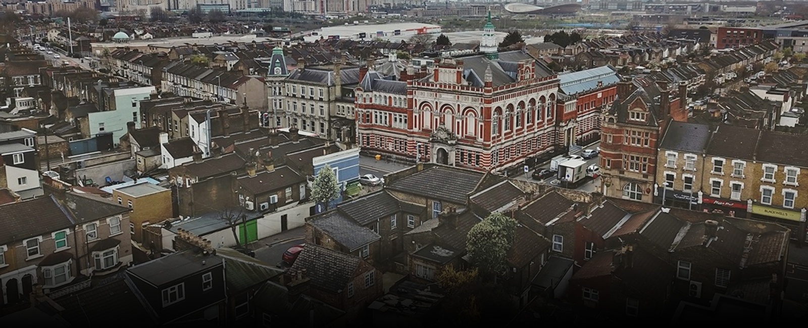
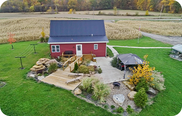
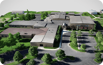
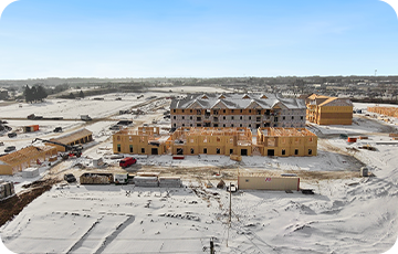
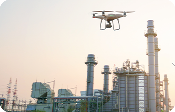
Our Aerial/Drone Photographer in Columbus, specializes in aerial surveys and drone mapping services for construction projects. With our advanced drone technology and expertise, we offer comprehensive solutions to gather valuable data and insights for your construction needs. Our drones are equipped with high-resolution imaging capabilities, allowing us to conduct detailed aerial surveys and create accurate 3D models of construction sites. Through drone mapping, we generate precise topographic maps, ortho mosaic images, and digital elevation models, providing you with crucial information for construction project planning and monitoring. Our construction drone services also encompass monitoring construction progress, conducting inspections, and providing building inspections.
Our Aerial/Drone Photographer in Columbus, Ohio focuses on utilizing drones for construction projects. Our services encompass a wide range of offerings, such as conducting aerial surveys, providing drone and aerial surveying specifically designed for construction purposes, and offering drone mapping services tailored to the construction industry. We are dedicated to providing comprehensive Aerial/Drone Surveying for Construction Sites that enable you to gather valuable data and gain insightful information to meet your construction requirements.
With our advanced drone technology and expertise, we utilize Drone For Construction Projects to conduct detailed aerial surveys and create accurate 3D models of construction sites. Through our Construction Drone Mapping services, we generate precise topographic maps, ortho mosaic images, and digital elevation models, providing you with crucial information for project planning and monitoring.
As a leading provider of Drone For Construction Projects, our services also encompass Drone Construction Monitoring, conducting inspections, and providing building inspections. By leveraging the capabilities of drones, our drone photographer in Columbus ensures accurate and efficient data collection for your construction projects.
Our team of highly skilled aerial/drone photographers based in Columbus, Ohio forms the foundation of our drone mapping and aerial surveying services tailored for construction projects. With their extensive expertise, we specialize in capturing high-resolution imagery that plays a crucial role in achieving precise surveying, mapping, and monitoring for Construction Projects.
Our comprehensive approach to Drone For Construction Projects enables us to assist you throughout the construction process. Whether you need progress monitoring, inspections, or mapping services, our Construction Drone Services are tailored to meet your specific requirements.
In the realm of surveying and mapping construction sites, traditional methods can be time-consuming and costly. However, with the advent of drone technology, ARO Aerial Inc. brings you cutting-edge Aerial Surveys & Drone Mapping Services that revolutionize the way maps are created.
By utilizing advanced drones equipped with high-resolution cameras, LiDAR systems, and GPS technology, we capture aerial data with exceptional accuracy and detail. Our aerial photographer in Columbus utilizes state-of-the-art software and techniques to survey the construction site and generate highly precise maps, 3D models, and point clouds.
Our Aerial Surveys and Drone Mapping Services for construction sites provide customized solutions to meet the specific needs of different industries and applications. Whether you require land surveys, infrastructure inspections, construction site mapping, or environmental monitoring, our services are designed to cater to your requirements. By utilizing drone mapping, we offer a cost-effective and efficient solution that enables you to gather accurate and detailed data for your construction projects.
Through our aerial surveying services, we collect geospatial data from the sky, covering vast areas in a fraction of the time it would take with traditional methods. Our drones fly over the designated area, capturing high-resolution imagery and collecting valuable data points.
Using photogrammetry techniques, we process the imagery to create accurate orthomosaic maps, which are detailed maps that correct distortions caused by the Earth's curvature and terrain. These maps provide a precise representation of the area surveyed, allowing for accurate measurements and analysis.
Our drone construction monitoring & inspection services take surveying to the next level by generating detailed 3D models and point clouds. Through a combination of aerial imagery, LiDAR technology, and GPS data, we create highly accurate representations of the surveyed area.
3D models provide a comprehensive visual representation of the terrain, structures, and objects, allowing for detailed analysis and visualization. Point clouds, on the other hand, are dense collections of 3D points that accurately depict the shape and characteristics of the surveyed area. These data-rich models are invaluable for various applications, such as urban planning, construction site monitoring, and environmental analysis.
- Efficiency
Drone technology enables rapid data collection, reducing time and cost compared to traditional surveying methods.
- Accuracy
High-resolution imagery, LiDAR systems, and GPS technology ensure precise data capture and mapping.
- Safety
Drones eliminate the need for manual inspections in hazardous or hard-to-reach areas, enhancing worker safety.
- Flexibility
Aerial surveys and drone mapping can be conducted for various purposes, including land surveys, infrastructure inspections, and environmental monitoring.
- Cost-effectiveness
Drone technology offers a cost-effective solution for obtaining accurate and detailed maps compared to traditional surveying methods.