• Transforming Construction and Architecture: Unleash the Potential of Drone 3D Modeling

  • Drone 3D Modeling Services

  • Drone 3D Modeling for Construction Sites: Unleashing the Power of Aerial Data

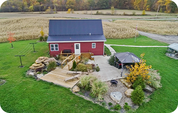
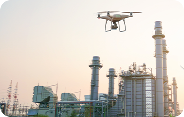
Our Drone 3D modeling services are revolutionizing the way aerial photographers and drone inspection providers operate. With our cutting-edge technology and expertise, we offer comprehensive drone 3D modeling services for construction sites and architectural projects. By utilizing drones, we can capture high-resolution images and data from various angles and altitudes, enabling us to create detailed and accurate 3D models.

Our drone mapping solutions provide construction site mapping with drones, allowing architects and construction professionals to visualize and analyze their projects with precision. Through UAV 3D modeling, we offer an efficient and cost-effective alternative to traditional surveying methods. Our aerial mapping with drones captures intricate details and terrain information, empowering our clients to make informed decisions.

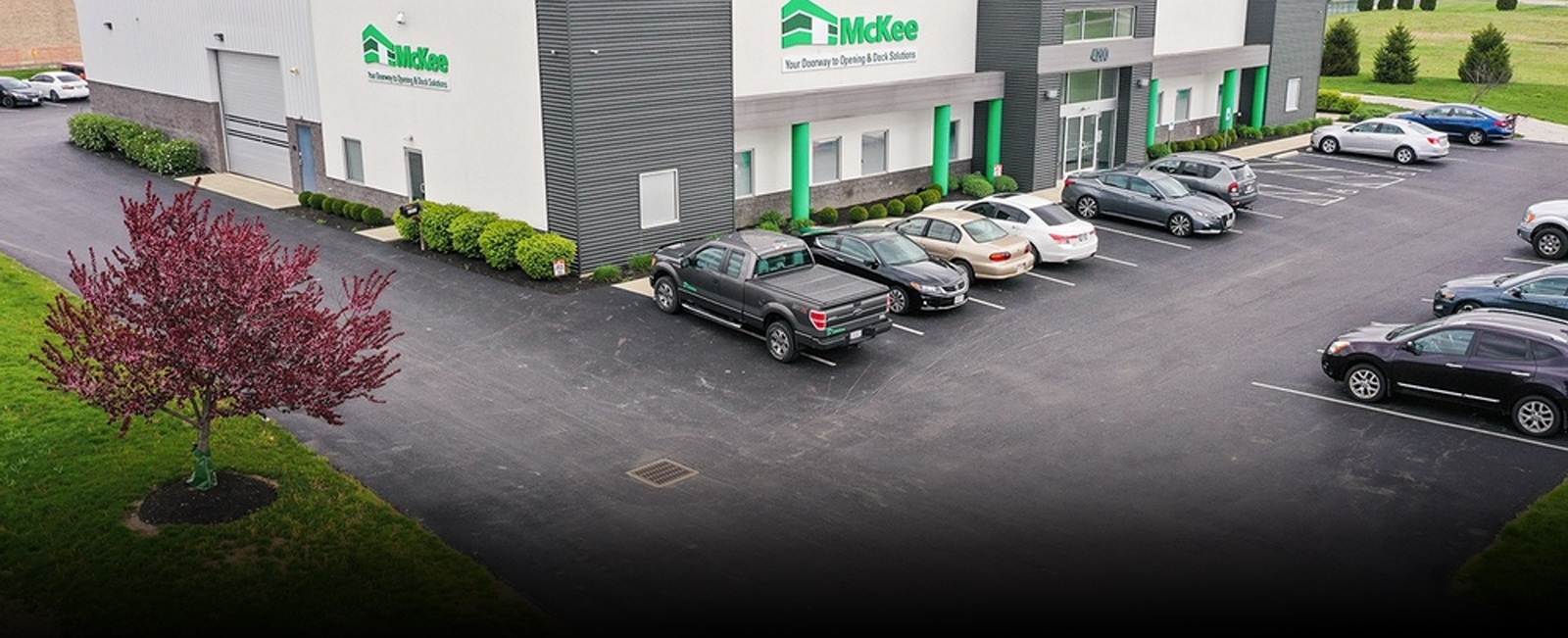
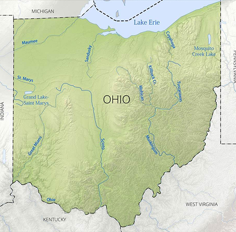
As the leading drone photographer in Columbus, Ohio, we have extensive experience in delivering exceptional results. Our expertise in drone mapping for construction and architecture sites ensures that we provide accurate and reliable data. Contact us today for unparalleled drone 3D modeling services tailored to your specific needs and witness the power of aerial technology in action.

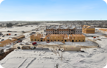
Looking to revolutionize your construction site mapping and architecture projects? Look no further than Drone 3D Modeling Service by ARO Aerial Inc, with our cutting-edge UAV technology and expertise, we provide comprehensive drone mapping solutions that are tailored to meet the unique needs of the construction industry.

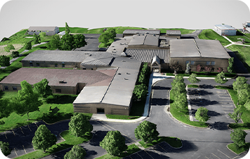
At ARO Aerial Inc., we understand the importance of accurate and detailed construction site mapping with drones. Our advanced drone technology allows us to capture high-resolution aerial images and generate precise 3D models, enabling you to visualize your construction projects with unparalleled clarity and precision.

Our drone photographer in Columbus utilizes state-of-the-art UAV 3D modeling techniques to create digital replicas of construction sites, providing you with a virtual representation of the real-world environment. This invaluable data can be used for a wide range of purposes, from construction project planning and design to progress tracking and site analysis.

  • Construction Site Mapping with Drones: Enhancing Efficiency and Safety

  • Capturing Aerial Perspectives Like Never Before

With our drone mapping for architecture and construction, we offer a streamlined and efficient alternative to traditional surveying methods. By utilizing drones, we eliminate the need for manual data collection, saving you time and resources while minimizing the risk of human error.

Our aerial mapping with drones allows for rapid data acquisition, enabling us to cover large areas quickly and accurately. By leveraging this technology, we can capture detailed topographic data, monitor site progress, and identify potential issues before they become costly problems.

In addition to our drone 3D modeling services, ARO Aerial Inc. offers exceptional drone photography services in Columbus, Ohio. Our skilled drone photographers utilize the latest equipment and techniques to capture stunning aerial images and videos that showcase your construction & architecture projects from unique and captivating perspectives.

Whether you need promotional material for marketing purposes or visual documentation of your construction projects, our professional drone photographer in Columbus has the expertise to deliver high-quality drone imagery that will leave a lasting impression.

  • Choose ARO Aerial Inc. for Your Drone Mapping and Photography Needs

When it comes to drone mapping & photography for construction and architecture sites, ARO Aerial Inc. is your trusted partner in Columbus, Ohio, and beyond. We combine cutting-edge drone technology with a commitment to excellence to deliver superior results for our clients.

Experience the power of drone 3D modeling services for construction sites, and unlock new possibilities in project planning, design, and analysis. Contact ARO Aerial Inc. today to discuss your specific requirements and let our drone photographer in Columbus create a customized solution that meets your construction sites & architecture project needs.

Transform your construction projects with cutting-edge Drone 3D Modeling!

Whether it's construction site inspections or progress monitoring, our state-of-the-art drone 3D modeling solutions empower you to make informed decisions, streamline workflows, and enhance collaboration.

Offering Drone 3D Modeling for Construction Projects across Indiana including

Arrangements can be made throughout the continental United States.

Have passports, will travel. Much like our domestic arrangements, we have had the privilege of working on projects in Belize, Italy, and England. Happy to talk more about an international project that interests you!