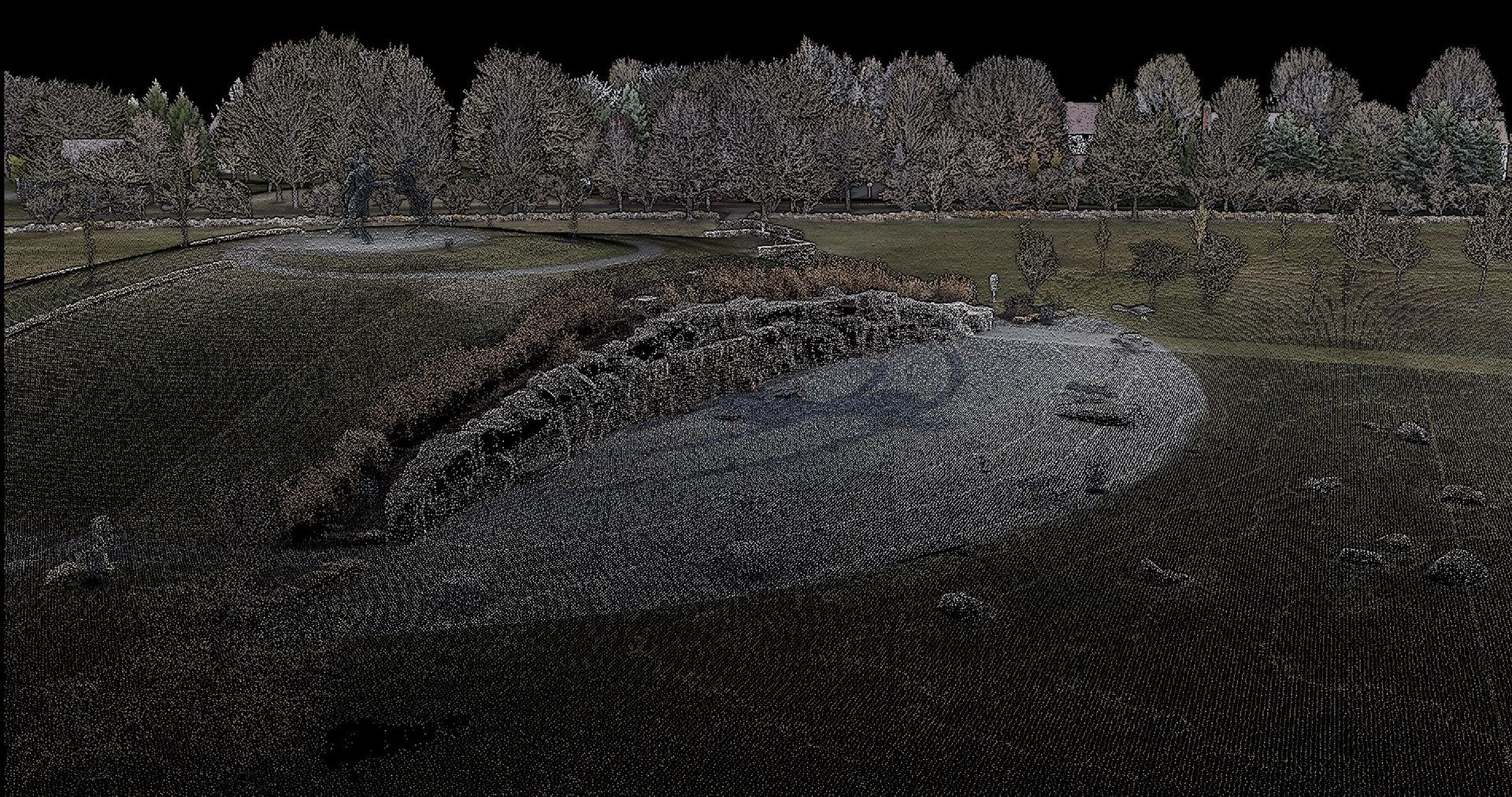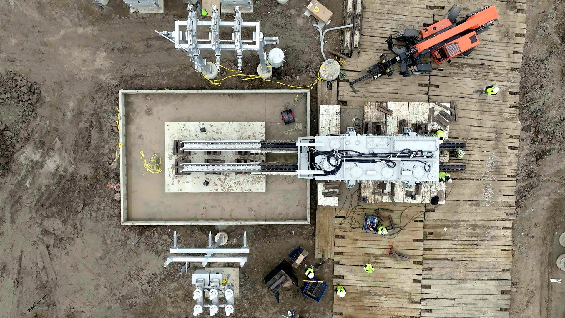
In the world of construction, precision, accuracy, and informed decision-making are essential for the success of any project. Modern technology, including drone mapping, has revolutionized the construction industry by providing invaluable insights and data. In this blog, we will explore the incredible ways in which drone mapping assists construction companies in making better decisions.
Enhanced Site Surveying
Aerial Perspective
Drone mapping offers construction companies a bird's-eye view of their project sites. This unique aerial perspective allows for a comprehensive assessment of the terrain, topography, and surrounding environment. It aids in identifying potential challenges, such as uneven terrain or obstructions, which might not be immediately apparent from ground-level surveys.
Precise Measurements
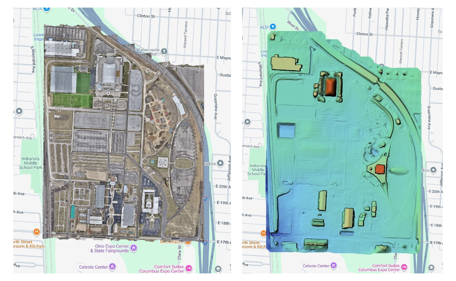
Drones equipped with advanced sensors can provide highly accurate measurements of distances, areas, and volumes. This precision is invaluable for estimating quantities of materials needed, ensuring that construction projects stay within budget and are completed on time.
Regular Progress Tracking
Drone mapping is an excellent tool for tracking construction progress over time. Regular aerial surveys enable project managers to compare site conditions at different stages of construction. This data helps in evaluating the adherence to project timelines and identifying potential delays.
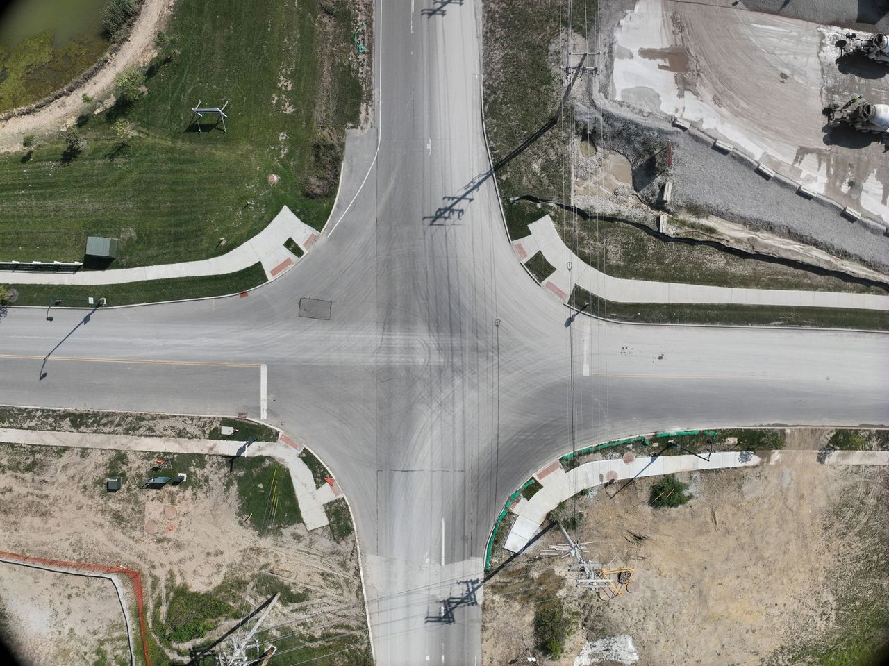
Mapping flight over a business park site, New Albany, OH.
Improved Safety Measures
Hazard Identification
Safety is a top priority in construction. Drones can be equipped with various sensors, including thermal imaging and gas detection, to identify potential safety hazards on the construction site. This proactive approach allows construction companies to address safety concerns promptly and protect their workers.
Emergency Response
In the unfortunate event of accidents or emergencies on the construction site, drones can provide real-time aerial footage to emergency response teams. This immediate visual data is crucial for making swift, informed decisions and coordinating rescue efforts.
Cost-Efficient Data Collection
Reduced Resource Usage
Traditional land surveys and data collection methods can be resource-intensive and time-consuming. Drones significantly reduce the resources required for data collection. They can cover large areas quickly and efficiently, minimizing the need for extensive manpower and equipment.
Real-time Data Analysis
Drone mapping not only collects data efficiently but also allows for real-time data analysis. Construction companies can access immediate insights into site conditions, enabling them to make on-the-spot decisions that can save time and money.
Environmental Impact Assessment
Erosion Control
Drones are instrumental in monitoring and managing erosion control on construction sites. By regularly surveying the area, construction companies can identify potential erosion hotspots and take preventive measures to minimize the environmental impact of their projects.
Vegetation Preservation
For construction projects in environmentally sensitive areas, drone mapping helps in the preservation of local flora and fauna. It enables companies to establish boundaries, create no-disturbance zones, and monitor the impact of construction activities on the ecosystem.
Enhanced Client Communication
Visual Progress Reports
Construction companies can use drone-captured images and videos to create compelling visual progress reports for clients. These reports provide clients with a clear understanding of how the project is evolving, instilling confidence in the construction company's capabilities.
Data-Driven Decision-Making with Clients
Drone mapping data can be shared with clients to support collaborative decision-making. Clients can visualize site conditions, understand project complexities, and actively participate in decision-making processes, leading to a more transparent and harmonious working relationship.
Drone mapping has undeniably transformed the way construction companies operate. It offers a multitude of benefits, from enhanced site surveying to improved safety measures, cost-efficient data collection, environmental impact assessment, and better client communication. With the power of drone technology and data analytics, construction companies are equipped to make more informed decisions, streamline their operations, and ultimately, achieve greater project success. Incorporating drone mapping into construction processes is a testament to the industry's commitment to innovation and excellence.
If you want to know more about drone mapping, then contact ARO Aerial Inc. Their experienced team of drone pilots and photographers in Columbus, Ohio, is well-equipped to provide you with comprehensive insights into the world of drone mapping, helping you harness the power of aerial technology for your specific needs.
Get in touch with us today
To learn more about what we do, please explore our services. To contact us, please call us at (614) 622-8786.
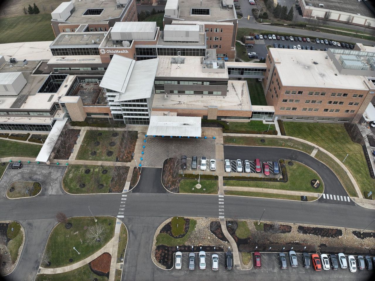
Processed mapping output from a Central Ohio campus.