Contact Info
Phone:
(614) 622-8786
Email:
info@aroaerial.com
Address: 3295 kady ln, columbus, Ohio, United States, 43232
FAA Part 107
MBE & EDGE
Level 1 Thermographer
OSHA 10 Trained
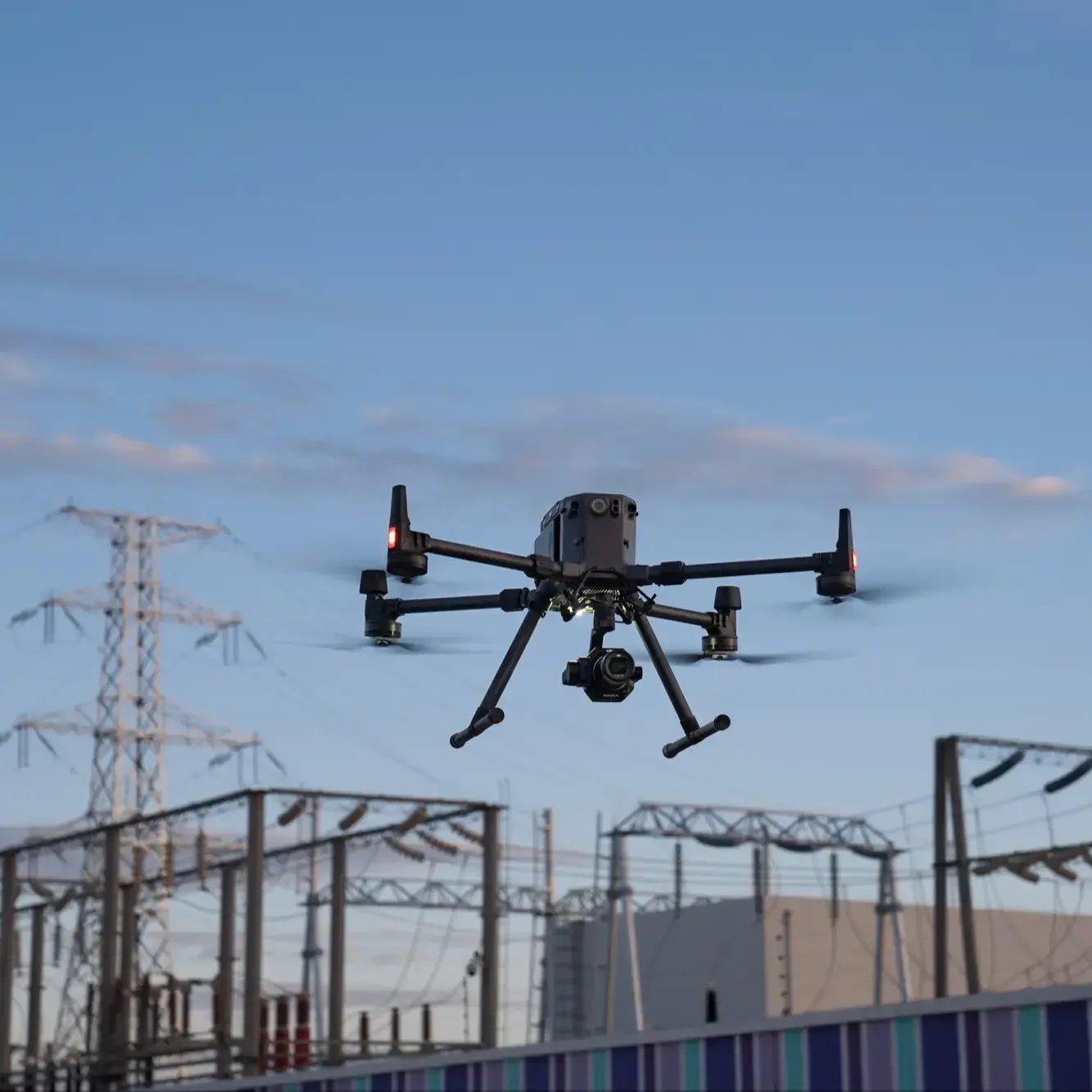
DJI Zenmuse L3 LiDAR
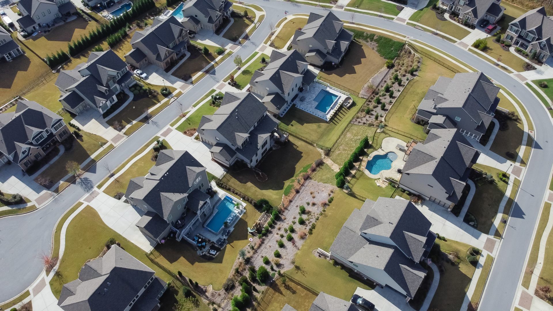
Phase-aligned aerial imagery for design review, construction administration, and portfolio work.
Design-grade mapping and 3D models for multidisciplinary AEC coordination.
Point cloud data and scan-to-BIM deliverables for existing conditions and renovation projects.
Quantitative thermal data for energy modeling, commissioning, and envelope analysis.
Combined aerial + interior immersive tours for design teams and stakeholders.
Dynamic aerial video for client presentations, design narratives, and award submissions.
Certification badges featured on the AEC hub: FAA Part 107, MBE & EDGE, Level 1 Thermographer, OSHA 10 Trained, DJI Zenmuse L3 LiDAR.