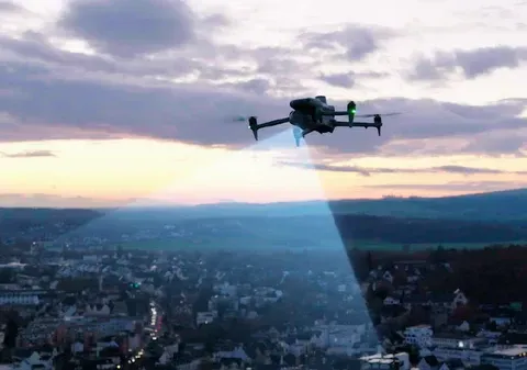
Thermal Imaging & Building Performance Assessment
AEC Virtual Tours & 360° Walkthroughs in Columbus, Ohio
ARO Aerial provides professional virtual tour and 360° walkthrough services for architecture, engineering, and design-build firms across Columbus and Central Ohio. We create immersive, navigable digital environments that allow design teams to assess existing conditions remotely, coordinate across disciplines, present spatial context to clients, and document project outcomes — all without repeated site visits. Every capture is executed with precision to deliver an accurate, measurement-ready digital representation of the physical space.
We serve architects, civil engineers, structural engineers, MEP consultants, interior designers, landscape architects, and design-build teams who need accurate spatial documentation to inform design decisions, facilitate remote collaboration, present design context to clients and review boards, and build compelling portfolios of completed work.
FAA Part 107
MBE Certified
EDGE Certified
OSHA 10 Trained
L1 Thermographer
When AEC Teams Need Thermal Imaging
- Assess existing building and site conditions remotely before design begins
- Reduce costly repeat site visits during programming and schematic design phases
- Capture measurement-ready floor plans and dimensional data for renovation and adaptive reuse projects
- Facilitate multi-discipline coordination with a shared, navigable spatial reference
- Present existing site context to clients, review boards, and stakeholders in immersive format
- Document construction progress during CA with navigable, timestamped walkthroughs
- Create before/after virtual tours showcasing design impact for portfolios and award submissions
- Support ADA compliance reviews, space planning, and programming analysis
This is not consumer-grade virtual staging — it's design-grade spatial documentation built for architects, engineers, and design teams who need accurate, navigable, measurement-ready digital environments.

Deliverables (radiometric reports, anomaly maps, quantitative data)
1. Existing Conditions Virtual Tours
- Full 360° capture of current building and site conditions
- Interactive, navigable walkthroughs accessible from any device
- Baseline spatial records for design reference
- Ideal for renovation, adaptive reuse, and retrofit assessment
- Annotated hotspots for notes, callouts, and condition documentation
2. Measurement-Ready Floor Plans & Spatial Data
- Dimensionally accurate floor plans generated from 360° and LiDAR-equipped capture (iGUIDE)
- Room-by-room measurements and square footage calculations
- PDF and interactive digital format exports
- Usable for programming, space planning, and design development
- Baseline documentation for code review and ADA compliance analysis
3. Aerial + Interior Combined Tours
- Drone-captured exterior and site context paired with ground-level interior walkthroughs
- Seamless transition between aerial overview and interior navigation
- Complete property or facility coverage in a single deliverable
- Essential for large, multi-building, or campus-scale assessment
4. Design Phase & CA Documentation Tours
Recurring capture programs aligned to design milestones:
- Phase-by-phase walkthroughs during construction administration
- Consistent capture points for reliable time-series comparison
- Design intent vs. field conditions visual documentation
- Cloud-based access for the entire design team and consultants
5. Portfolio & Project Completion Tours
- Before/after virtual tours showcasing design transformation
- Completed project walkthroughs for case studies and award submissions
- Client-facing tours for post-occupancy review and owner turnover
- Embeddable on firm websites for marketing and business development
How Virtual Tours Work for AEC Teams
1. Project Scoping
We coordinate with your project architect or design lead to define:
- Spaces, access points, and coverage scope
- Measurement and floor plan requirements
- Capture schedule aligned to design milestones
- Platform, branding, and access control needs
- Integration with design review and coordination workflows
2. On-Site Capture
Our team executes a systematic capture:
- 360° capture at planned intervals and positions
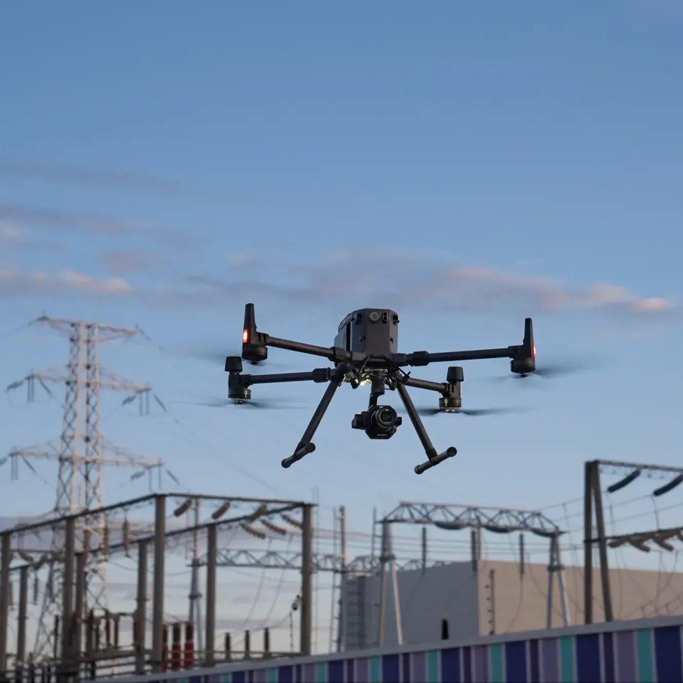
- Aerial drone capture for exterior and site context (FAA Part 107–certified)
- LiDAR-equipped systems (iGUIDE) for measurement accuracy
- Consistent methodology for time-series comparability across phases
3. Processing & Publication
You receive a complete virtual experience:
- Processed, navigable 360° tour with interactive annotations
- Floor plans and measurement data (if applicable)
- Published to your chosen platform with shareable, controlled access
- Cloud-based hosting for the design team and stakeholders
Service Area — Columbus & Central Ohio
We provide AEC virtual tours and 360° walkthroughs for projects in:
- Columbus
- New Albany
- Dublin
- Westerville
- Grove City
- Hilliard
- Delaware
- Marysville
- Lancaster
- Newark
- And all surrounding Central Ohio markets

Use Cases
01
Pre-Design & Assessment
- Existing conditions walkthroughs for renovation and adaptive reuse projects
- Remote site and building assessment for design teams
- Programming and space planning documentation
- Feasibility analysis with measurement-ready spatial data
- Condition documentation for regulatory and code review
02
Design Development
- Updated walkthroughs as site or building conditions change
- Spatial context for client presentations and design review sessions
- Multi-discipline coordination with shared navigable environments
- Remote design charrette support and consultant access
03
Construction Administration
- Phase-by-phase walkthroughs during construction
- Design intent vs. field conditions documentation
- Coordination support for multi-discipline teams
- Timestamped records for RFI response and quality tracking
04
Project Completion & Post-Occupancy
- Before/after virtual tours showcasing design transformation
- Completed project documentation for portfolios and awards
- Post-occupancy evaluation and owner orientation tours
- Archival records for long-term facility management
Why AEC Firms Choose ARO Aerial
- 6+ years of professional 360° capture and virtual tour experience
- Understands AEC project phases, design team workflows, and coordination needs
- Measurement-ready deliverables with iGUIDE and DroneDeploy integration
- Aerial + interior combined tours for complete site and building documentation
- FAA Part 107 certified
- Fully insured
- Fast turnaround aligned to design milestones and presentation deadlines
- Clear communication with architects, engineers, and design leads
AEC Thermal Imaging & Building Performance Assessment - Frequently Asked Questions
How do architects use virtual tours?
Architects use virtual tours to assess existing building and site conditions remotely, coordinate across design disciplines with a shared spatial reference, present design context to clients and review boards, document construction progress during CA, and showcase completed projects in portfolios and award submissions.
What is a design-grade virtual tour?
A design-grade virtual tour is an interactive, navigable 360° digital environment captured with professional equipment and methodology — delivering measurement-ready floor plans, dimensional data, and spatial documentation suitable for architectural programming, design development, code review, and multi-discipline coordination.
Can virtual tours include floor plans and measurements for design?
Yes. Using LiDAR-equipped capture systems like iGUIDE, we generate dimensionally accurate floor plans with room measurements and square footage calculations — directly usable for programming, space planning, renovation design, and code compliance analysis.
When should AEC teams schedule virtual tours?
Key capture points include pre-design (existing conditions for renovation and adaptive reuse), design development (client presentations and coordination), construction administration (progress documentation and design validation), and project completion (portfolio, awards, and owner turnover).
Get Started with ARO Aerial Inc.
Need virtual tours or 360° walkthroughs for your AEC project?
ARO Aerial delivers immersive, measurement-ready, design-grade virtual experiences across Central Ohio — built for architects, engineers, and design teams.
