Drone Mapping & 3D Modeling for Engineering
Drone Mapping & 3D Modeling for Architecture & Design in Columbus, Ohio
ARO Aerial Inc | Professional Drone Services for Engineering Firms
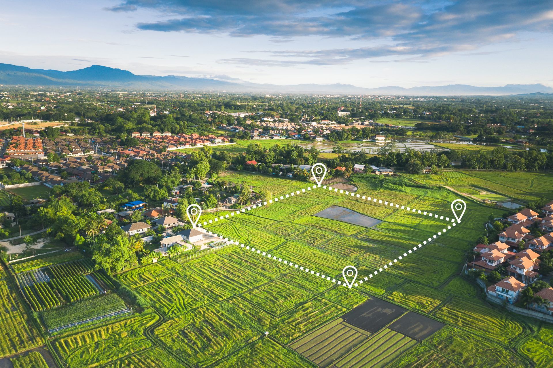
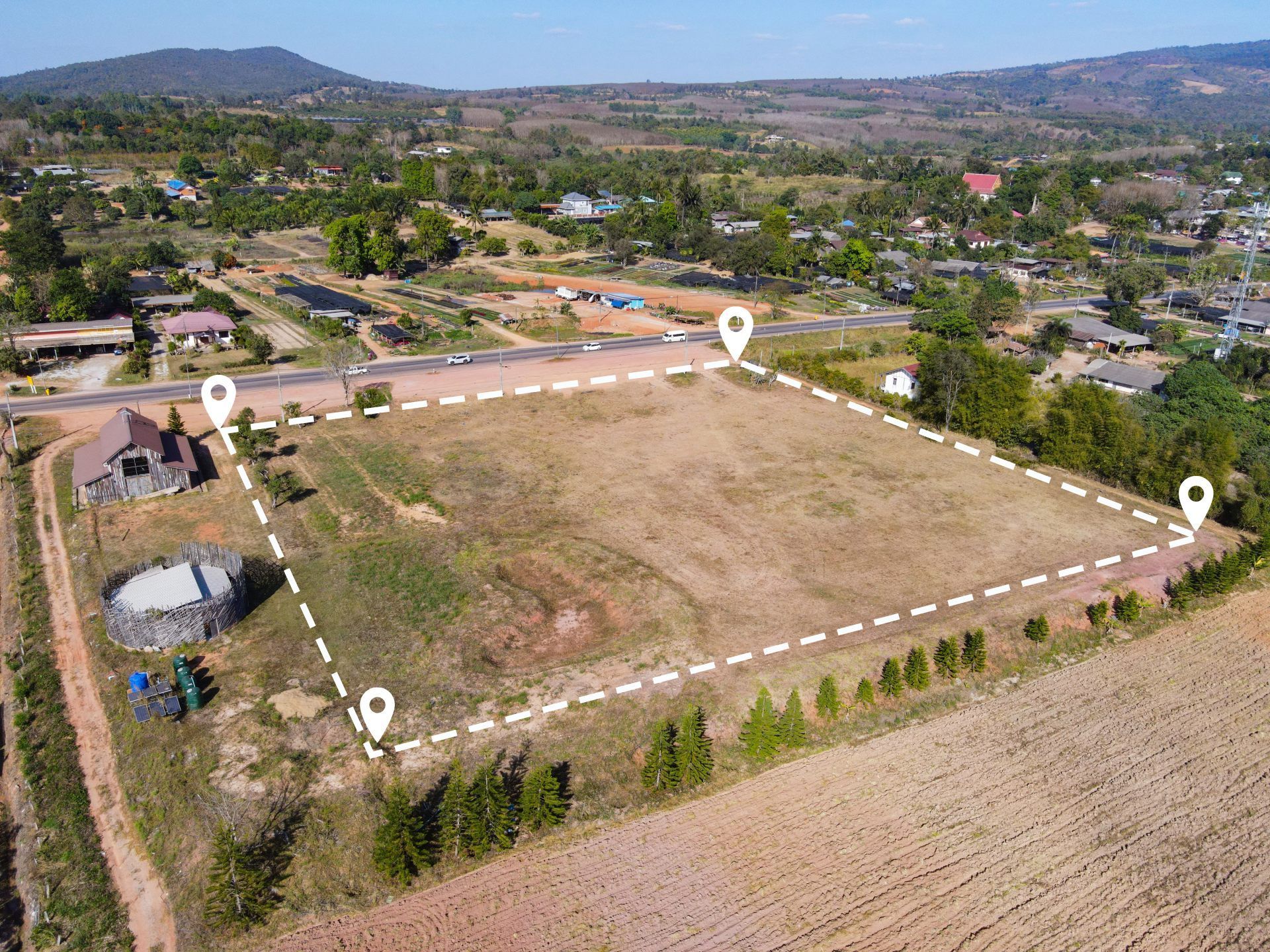
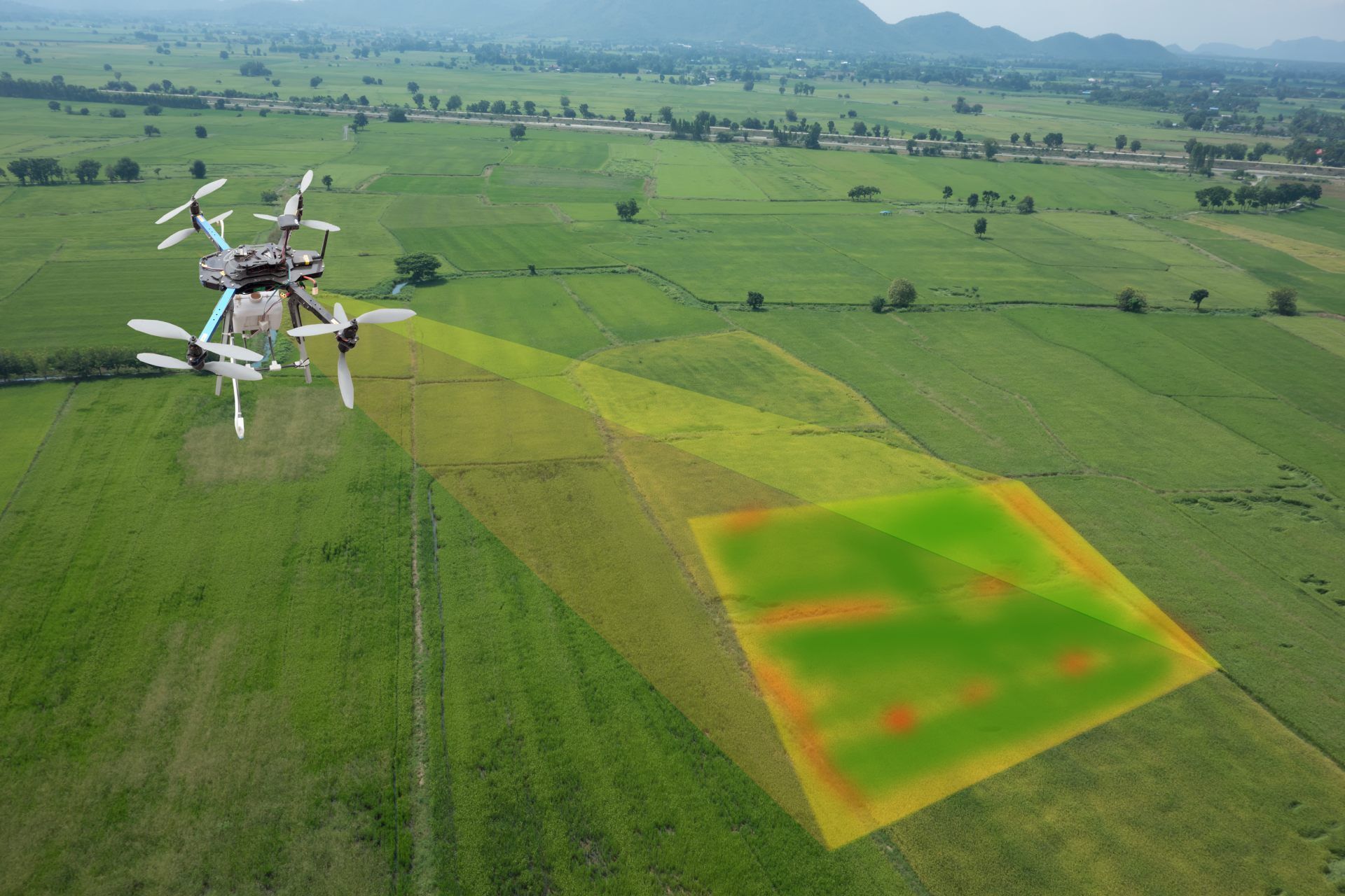
ARO Aerial provides professional drone mapping, photogrammetry, and 3D modeling services for engineering firms across Columbus and Central Ohio. We deliver georeferenced orthomosaic maps, digital elevation models, point clouds, and volumetric data that engineers need for topographic surveys, earthwork design, corridor analysis, and site development — with GCP-aligned, survey-grade accuracy and outputs formatted for direct integration into Civil 3D, ArcGIS, and other engineering platforms.
We work with civil engineers, structural engineers, geotechnical firms, environmental engineers, and multidisciplinary engineering consultancies — providing repeatable, defensible spatial data tailored to engineering standards. Whether you need a topographic surface for grading design, volumetric tracking for earthwork verification, or progress mapping for construction observation, ARO Aerial delivers engineering-grade outputs on your coordinate system and in your required formats.
FAA Part 107
MBE Certified
EDGE Certified
OSHA 10 Trained
L1 Thermographer
Why Engineering Teams Use Drone Mapping & 3D Modeling
- Generate accurate topographic surfaces for grading, drainage, and site design
- Measure earthwork volumes (cut/fill) for design verification and quantity tracking
- Create georeferenced orthomosaic maps for plan-vs-existing comparison
- Produce digital elevation models (DSM/DTM) for corridor and alignment design
- Track site conditions over time with repeatable, GCP-aligned mapping
- Support construction observation with verifiable progress documentation
- Deliver data on project datum and coordinate systems for seamless CAD/GIS integration
- Reduce field time — capture entire sites in hours, not days
This is not consumer-grade mapping — it’s engineering-grade spatial data built for project engineers, PEs, and technical teams who need accuracy, repeatability, and platform integration.
What We Deliver
1. Topographic Surface Models
- Digital Surface Models (DSM) and Digital Terrain Models (DTM)
- GCP-aligned accuracy on your project coordinate system
- Contour generation at custom intervals (1-ft, 2-ft, 5-ft, etc.)
- Slope, aspect, and drainage analysis
- Exportable as TIN, grid, GeoTIFF, and LandXML for Civil 3D and GIS
2. Orthomosaic Maps
- High-resolution, georeferenced aerial maps for site-wide visibility
- Plan-vs-existing condition comparison overlays
- Repeatable capture for time-series analysis
- Layered exports (GeoTIFF, PDF, JPEG, DXF)
- Compatible with Civil 3D, ArcGIS, QGIS, and Bluebeam
3. Volumetric & Earthwork Data
- Cut/fill calculations from design surface comparison
- Stockpile volume measurement and material tracking
- Progress-over-time earthwork verification
- Grade compliance checks against design models
- Exportable reports for engineering review and quantity verification
4. Cross-Section & Profile Data
- Alignment-based cross-section extraction
- Profile generation along corridors, roads, and linear features
- Comparison of existing vs. design surfaces
- Data formatted for Civil 3D corridor modeling
- Support for road, utility, and drainage design workflows
5. Construction Observation Mapping
- Recurring capture programs — weekly, bi-weekly, monthly, or milestone-based
- Progress mapping for field observation and compliance verification
- Plan-vs-actual comparison with georeferenced overlays
- Timestamped records for project documentation and regulatory reporting
How It Works
1. Project Scoping
We coordinate with your project engineer to define:
- Areas of interest and required accuracy
- GCP placement strategy and coordinate system (state plane, local datum, etc.)
- Deliverable formats and platform integration (Civil 3D, ArcGIS, etc.)
- Capture frequency and schedule
- Design surface comparison requirements (if applicable)
2. Aerial Data Capture
- FAA Part 107–certified pilot executes the mission:
- Systematic grid and oblique flight patterns at optimized altitude
- GCP-aligned, sensor-calibrated capture
- Multi-altitude imaging for site-wide and detail-level coverage
- Safety-first operations with full regulatory compliance
3. Processing & Delivery
- You receive engineering-ready outputs:
- Processed orthomosaics, elevation models, and point clouds
- Volumetric reports and cross-section data
- All deliverables on your project coordinate system
- Cloud-based access for your engineering team
- Direct-import formats — no additional conversion needed
Service Area — Columbus & Central Ohio
We provide drone mapping and 3D modeling for engineering firms with projects in:
- Columbus
- New Albany
- Dublin
- Westerville
- Grove City
- Hilliard
- Delaware
- Marysville
- Lancaster
- Newark
- And all surrounding Central Ohio markets

Engineering Use Cases
01
Site Development & Grading Design
- Existing conditions topographic surveys for site development projects
- Design surface data for grading, drainage, and utility layout
- Volumetric estimates for earthwork planning and bid support
- Baseline surveys for regulatory and permitting submissions
02
Transportation & Corridor Engineering
- Corridor mapping for road, highway, and bridge design
- Profile and cross-section data along proposed alignments
- Existing conditions documentation for widening, realignment, and rehabilitation
- Right-of-way and easement documentation
03
Stormwater & Environmental Engineering
- Watershed delineation and drainage basin mapping
- Floodplain analysis support data
- Erosion monitoring and land change detection
- Environmental baseline documentation for permitting and compliance
04
Construction Observation & Verification
- Earthwork progress tracking and grade verification
- Volume reconciliation against design quantities
- Field observation documentation with georeferenced overlays
- Compliance reporting for owners, regulators, and funding agencies
Why Engineering Firms Choose ARO Aerial
- 6+ years of professional mapping and survey-support experience
- GCP-aligned, survey-grade accuracy on your coordinate system
- Engineering-platform-ready deliverables — Civil 3D, ArcGIS, QGIS, Bluebeam
- Understands engineering workflows — topographic surveys through construction observation
- FAA Part 107 certified and fully insured
- Fast turnaround with clear, technical communication
- Trusted by civil, structural, and environmental engineering firms across Ohio
Frequently Asked Questions (FAQ)
Why do engineering firms use drone mapping?
Drone mapping provides engineering firms with georeferenced topographic data, orthomosaic maps, and volumetric calculations — faster and more cost-effectively than traditional ground survey methods, with comparable accuracy when GCPs are used.
How accurate is drone mapping for engineering projects?
With ground control points (GCPs) and professional-grade sensors, drone mapping achieves sub-inch horizontal and vertical accuracy — meeting the precision requirements for grading design, earthwork verification, and regulatory submissions.
What engineering platforms are compatible with drone mapping deliverables?
ARO Aerial delivers outputs formatted for Civil 3D, ArcGIS, QGIS, Bluebeam, Global Mapper, and other engineering platforms. Elevation models, orthomosaics, and point clouds are exported in industry-standard formats (GeoTIFF, LAS, LandXML, DXF) for direct import.
How is drone mapping different from traditional survey?
Drone mapping captures millions of data points across an entire site in a single flight — providing comprehensive surface coverage rather than discrete point measurements. It complements traditional survey by delivering site-wide context, volumetric data, and orthoimagery that supplement ground-based control and boundary work.
Get Started with ARO Aerial
Need engineering-grade drone mapping and 3D modeling for your next project?
ARO Aerial delivers survey-grade spatial data for engineering firms across Central Ohio — on your coordinate system, in your formats, and on your schedule.
