Construction Aerial Photography & Progress Documentation
Construction Aerial Photography & Progress Documentation in Columbus, Ohio
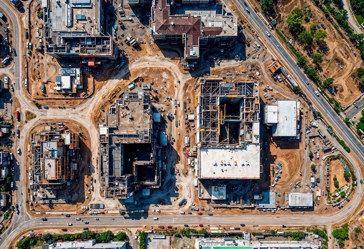
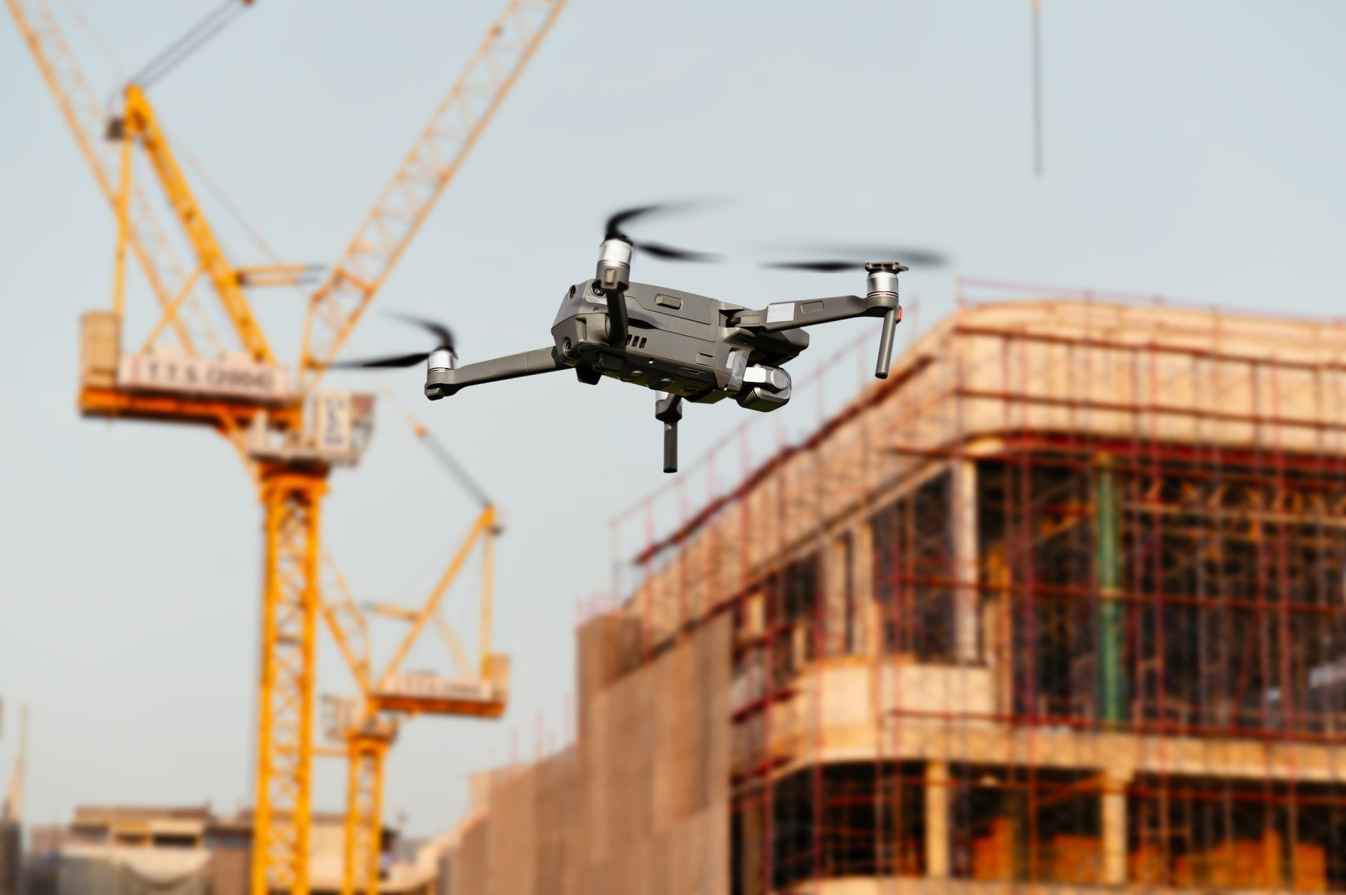
High‑accuracy aerial photography is one of the most valuable tools on a modern construction site. ARO Aerial provides construction‑grade drone imaging that documents progress, supports field teams, reduces risk, and gives owners and stakeholders a clear, verifiable record of every phase of the build.
We serve general contractors, construction managers, civil firms, developers, and owners across Columbus and Central Ohio with consistent, repeatable, engineering‑aligned aerial documentation.
FAA Part 107
MBE Certified
EDGE Certified
OSHA 10 Trained
L1 Thermographer
When Construction Teams Need Aerial Photography
Construction aerial photography provides:
- Accurate visual records for each phase of the project
- Weekly or monthly progress documentation
- Owner/investor reporting
- Verification for RFIs, punch lists, and disputes
- Safety and compliance documentation
- Site‑wide visibility for remote teams
- Marketing‑ready visuals for milestone announcements
This is not “real estate photography.”
This is construction documentation built for field teams, PMs, supers, and executives.
Deliverables (geo-tagged, dated, organized)
This is paragraph text. Click it or hit the Manage Text button to change the font, color, size, format, and more. To set up site-wide paragraph and title styles, go to Site Theme.
1. High‑Resolution Aerial Photo Sets
- Cardinal‑direction overviews
- Close‑range detail shots
- Vertical and oblique angles
- Repeatable framing for time‑lapse comparison
- Weather‑consistent scheduling for clarity
2. Progress Documentation Series
Captured weekly, bi‑weekly, or monthly:
- Site‑wide overview
- Vertical construction progress
- Earthwork and grading changes
- Material staging and logistics
- Safety and compliance conditions
- Structural milestones
3. Owner & Stakeholder Reporting
Delivered as:
- PDF progress reports
- Web‑based galleries
- Shareable cloud folders
- Timeline‑based comparison sets
4. Engineering‑Aligned Visual Records
Used for:
- RFIs
- Punch lists
- Dispute resolution
- Insurance documentation
- As‑built visual archives
Platform Integration (Procore, PlanGrid, Bluebeam)
1. Pre‑Flight Planning
We coordinate with your PM or superintendent to define:
- Flight frequency
- Required angles
- Restricted areas
- Safety windows
- Deliverable formats
2. On‑Site Flight
FAA Part 107–certified pilot performs:
- Controlled perimeter flight
- Vertical structure passes
- Detail‑level imaging
- Safety‑first operations
3. Processing & Delivery
You receive:
- Organized photo sets
- Progress documentation reports
- Comparison series
- Cloud‑based access for your entire team
Service Area — Columbus & Central Ohio
We provide construction aerial photography for projects in:
- Columbus
- New Albany
- Dublin
- Westerville
- Grove City
- Hilliard
- Delaware
- Marysville
- Lancaster
- Newark
- And all surrounding Central Ohio markets
Use Cases (claim defense, owner reporting, marketing)
Aerial photography supports every phase of the construction lifecycle:
01
Pre‑Construction
- Existing conditions
- Site boundaries
- Access points
- Environmental documentation
02
Earthwork & Site Prep
- Cut/fill visibility
- Grading progress
- Utility trenching
- Material staging
03
Vertical Construction
- Structural framing
- Envelope progress
- Roof installation
- MEP staging
04
Closeout
- As‑built visual documentation
- Warranty records
- Owner turnover packages
Why GCs Choose ARO Aerial
- 6+ years of construction‑focused flight experience
- Engineering‑aligned deliverables
- FAA Part 107 certified
- Fully insured
- Repeatable, consistent documentation
- Fast turnaround
- Clear communication with PMs and supers
Frequently Asked Questions
What is construction aerial photography?
Construction aerial photography uses drones to capture high‑resolution images of a jobsite for progress tracking, documentation, reporting, and verification.
How often should construction progress photos be taken?
Most GCs schedule weekly or bi‑weekly flights to maintain consistent visual records.
What do construction teams receive?
You receive organized photo sets, progress documentation reports, comparison series, and cloud‑based access for your entire team.
Why is aerial photography important for construction?
It improves visibility, reduces risk, supports RFIs and disputes, enhances safety oversight, and provides verifiable records for owners and stakeholders.
Get Started with ARO Aerial
Need consistent, construction‑grade aerial documentation for your project?
ARO Aerial supports GCs, CMs, and developers across Central Ohio with reliable, repeatable progress photography.
