Drone Mapping & LiDAR Services in Dublin, Ohio
AEC Grade Drone Construction Data in Dublin, Ohio
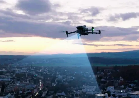
Dublin’s continuous commercial, medical, and mixed‑use expansion requires high‑accuracy aerial data that integrates cleanly into civil design, grading workflows, and as‑built documentation. ARO Aerial delivers survey‑aligned LiDAR, orthomosaics, and surface models engineered for teams that demand defensible, repeatable datasets tied to project control.
FAA Part 107
MBE Certified
EDGE Certified
OSHA 10 Trained
L1 Thermographer
Why Dublin Projects Choose ARO Aerial
Dublin’s development pipeline includes corporate campuses, medical facilities, roadway improvements, and dense mixed‑use construction. These project types require:
- Updated topographic surfaces for design and grading
- Earthwork quantification for contractor reconciliation
- Utility corridor documentation
- Surface modeling for design validation
- As‑built capture for turnover and compliance
- Time‑series datasets for monitoring construction progress
Dublin’s density and complexity make accurate, engineering‑grade aerial datasets essential for civil and VDC teams.

Drone Services Available in Dublin
- LiDAR acquisition for DSM/DTM generation
- Surface modeling (TIN, DEM, contours)
- Cut/fill analysis for grading verification
- Stockpile volumetrics with audit‑ready reporting
- Orthomosaic mapping tied to ground control
- Utility and corridor documentation
- Thermal inspections for envelope and mechanical diagnostics
- As‑built capture for design conformance
LiDAR & Mapping Deliverables
- Civil 3D surfaces (TIN, DEM, contours)
- Revit/BIM‑compatible point clouds
- Georeferenced orthomosaics
- Planimetric feature extraction (optional)
- CAD‑ready linework
- Time‑series datasets for progress analysis
- QA/QC reports with accuracy validation

Why Engineering Firms Choose ARO Aerial
- Survey‑aligned workflows
- High‑density LiDAR with controlled accuracy
- Repeatable flight plans for time‑series analysis
- Engineering‑grade QA/QC
- Fast turnaround with defensible datasets
- Construction‑only specialization
Get Started with ARO Aerial Inc.
Request engineering‑grade aerial data for your Dublin project.
