Virtual Tours & 360° Walkthrough
Virtual Tours & 360° Walkthroughs for Architecture & Design in Columbus, Ohio
ARO Aerial Inc | Professional Drone & Spatial Capture Services
ARO Aerial provides professional virtual tour and 360° walkthrough services for architecture and design firms across Columbus and Central Ohio. We create immersive, navigable digital experiences that allow design teams, clients, and review boards to explore existing sites, buildings, and completed projects remotely — with full spatial context, measurement capability, and interactive navigation. Every capture is executed with precision to deliver an accurate, design-useful digital representation of the physical space.
We work with architects, landscape architects, interior designers, and planning firms — providing measurement-ready 360° documentation tailored to the design process. From existing conditions walkthroughs for renovation projects to completed-project portfolio tours, ARO Aerial delivers high-resolution, platform-integrated virtual experiences that enhance how design teams document, communicate, and present.
FAA Part 107
MBE Certified
EDGE Certified
OSHA 10 Trained
L1 Thermographer
Why Architecture & Design Teams Use Virtual Tours & 360° Walkthroughs
- Document existing conditions for renovation, adaptive reuse, and interior projects without repeat site visits
- Provide clients and review boards with immersive, navigable project experiences
- Generate measurement-ready floor plans with square footage and dimensional data
- Create a navigable digital archive of existing buildings and sites for design reference
- Support design review and client presentations with interactive 360° walkthroughs
- Enable remote collaboration — give the entire design team access to the space without travel
- Build portfolio and case study experiences for completed projects
- Capture before/during/after sequences for project documentation and awards submissions
This is not real estate marketing — it's design-process documentation built for project architects, principals, and design teams who need spatial accuracy and remote access.
What We Deliver
1. Interactive 360° Existing Conditions Tours
- Full spherical imagery at planned intervals throughout the space
- Point-to-point navigation with intuitive interface
- Hotspot annotations for context, notes, and design observations
- Shareable via link for remote team access — no software required
- Embeddable on firm websites and project portals
2. Measurement-Ready Floor Plans
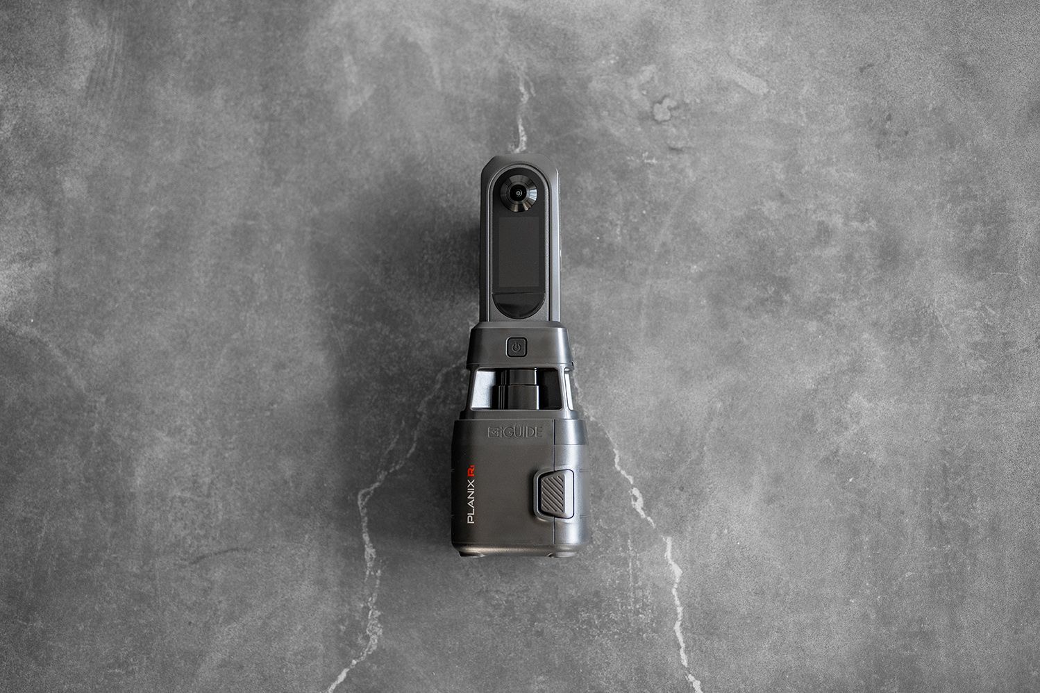
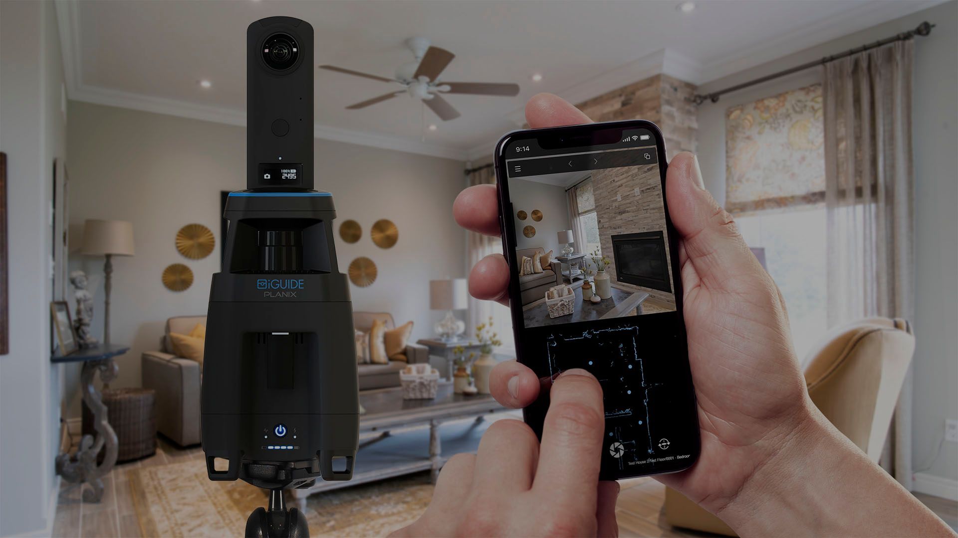
- Dimensionally accurate floor plans generated from 360° and LiDAR capture (iGUIDE)
- Room-by-room measurements and total square footage calculations
- PDF and interactive digital exports
- Suitable for schematic design reference, space planning, and regulatory submissions
3. Aerial + Interior Combined Tours
- Drone-captured exterior and site context paired with interior walkthroughs
- Seamless transition between aerial overview and interior navigation
- Full property coverage — site, structure, and surrounding context in one deliverable
- Ideal for renovation, adaptive reuse, and campus-scale documentation
4. Portfolio & Project Showcase Tours
- Completed-project virtual tours for firm portfolio and marketing
- Client-facing experiences for awards submissions and case studies
- Branded, guided tour sequences with annotation and narration paths
- Before/after comparison tours for renovation and transformation projects
How It Works
1. Project Scoping
We coordinate with your project architect or design lead to define:
- Spaces, access points, and coverage scope
- Measurement and floor plan requirements
- Capture schedule and milestone alignment
- Platform, branding, and access control needs
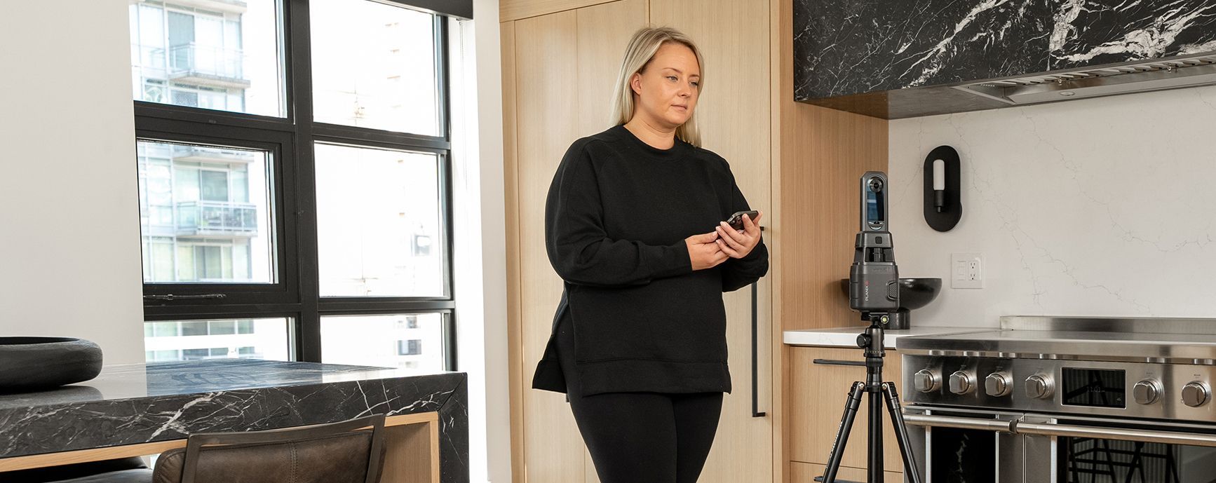
2. On-Site Capture
Our team executes a systematic capture:
- 360° imaging at planned intervals and positions
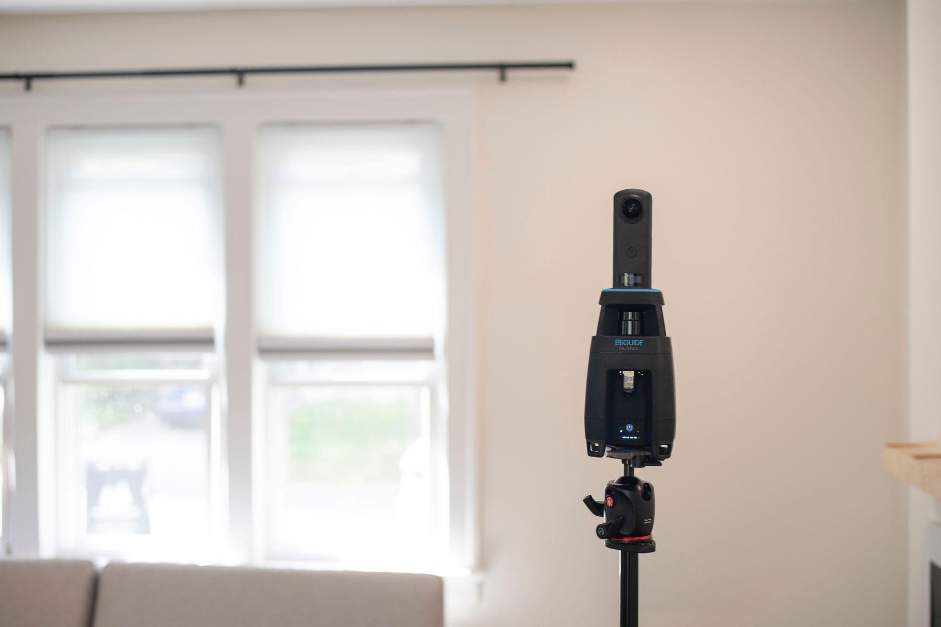
- LiDAR-equipped systems (iGUIDE) for measurement accuracy
- Aerial drone capture for exterior and site context (FAA Part 107–certified)
- Consistent methodology for time-series comparability
3. Processing & Publication
You receive a complete virtual experience:
- Processed, navigable 360° tour with interactive elements
- Floor plans and measurement data (if applicable)
- Published to your chosen platform with shareable access
- Cloud-based hosting for your design team and clients
Service Area — Columbus & Central Ohio
We provide virtual tour and 360° walkthrough services for architecture and design firms with projects in:
- Columbus
- New Albany
- Dublin
- Westerville
- Grove City
- Hilliard
- Delaware
- Marysville
- Lancaster
- Newark
- And all surrounding Central Ohio markets
Architecture & Design Use Cases
01
Existing Conditions Documentation
- Full-building 360° walkthroughs for renovation and adaptive reuse projects
- Spatial reference for design teams without repeat site visits
- Measurement-ready floor plans for schematic design
- Baseline condition records for regulatory and historic preservation work
02
Design Review & Client Communication
- Interactive walkthroughs for client presentations and design reviews
- Remote access for principals, consultants, and review boards
- Annotated tours with design observations and site notes
- Context-rich experiences that support informed decision-making
03
Project Documentation & Archival
- Phase-by-phase 360° records aligned to design milestones
- Before/during/after comparison walkthroughs
- Timestamped visual archives for project records
- Compliance and regulatory documentation
04
Portfolio & Marketing
- Completed-project tours for firm websites and social media
- Awards submission and case study virtual experiences
- Client-ready presentation tours
- Branded, guided walkthrough sequences
Why Design Firms Choose ARO Aerial
- 6+ years of professional 360° capture and production experience
- Measurement-ready deliverables — iGUIDE floor plans with dimensional data
- Understands the design process — existing conditions through completed project
- Aerial + interior integration for complete coverage
- FAA Part 107 certified and fully insured
- Fast turnaround with clear communication
- Trusted by architecture, interior design, and planning firms across Ohio
Frequently Asked Questions (FAQ)
Why do architects need virtual tours?
Virtual tours give architects a navigable, measurement-ready digital record of existing spaces — reducing repeat site visits, supporting remote collaboration, and providing accurate spatial reference for design development, renovation, and adaptive reuse projects.
Can virtual tours include floor plans and measurements?
Yes. Using LiDAR-equipped capture systems like iGUIDE, we generate dimensionally accurate floor plans with room measurements and square footage — embedded directly into the tour and exportable as PDF for design reference and regulatory submissions.
How do design teams use virtual tours for client presentations?
Design teams share interactive 360° tours via link — allowing clients, review boards, and consultants to explore the space at their own pace, with hotspot annotations providing context, design observations, and spatial reference without requiring an in-person visit.
What is the difference between a virtual tour and a 3D model?
A virtual tour is an interactive, photograph-based experience that lets viewers navigate through a space visually. A 3D model is a geometric reconstruction used for measurement, design integration, and BIM. ARO Aerial provides both — and can combine them for a complete spatial documentation package.
Get Started with ARO Aerial
Need virtual tours or 360° walkthroughs for your next design project?
ARO Aerial delivers immersive, measurement-ready, design-process-integrated virtual experiences for architecture and design firms across Central Ohio.
