
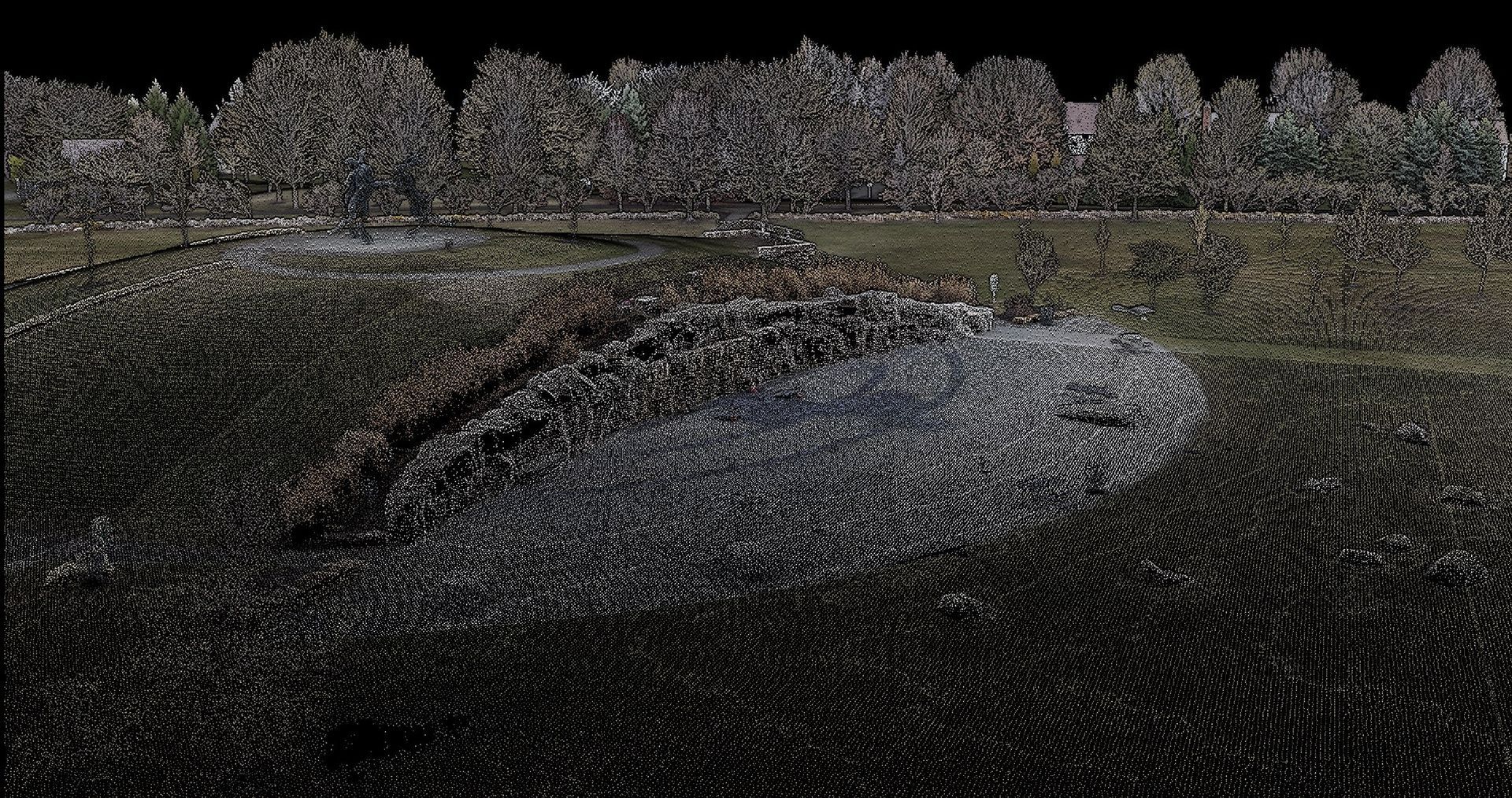
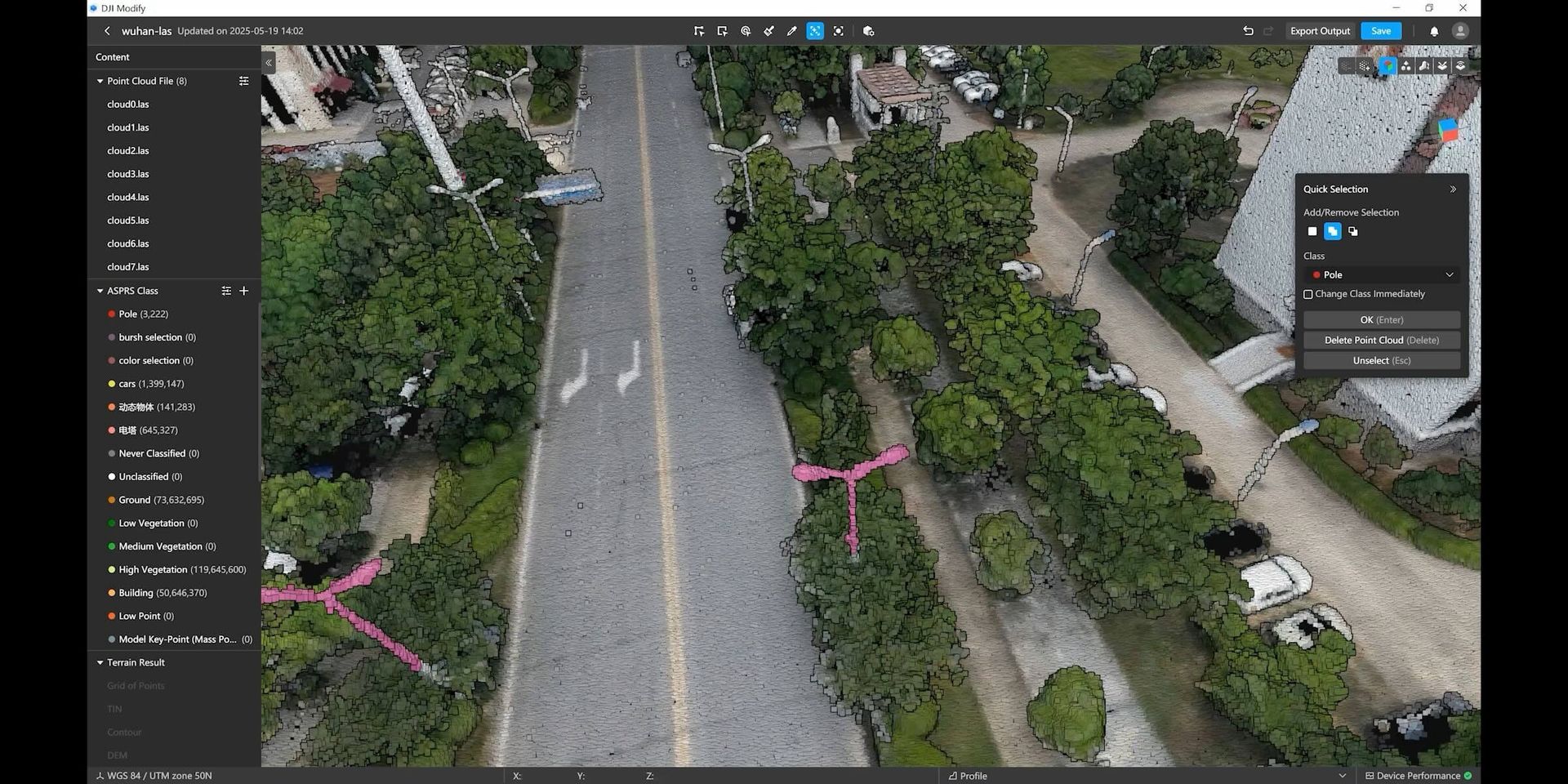
Drone LiDAR maps bare earth under trees. What a LiDAR drone survey delivers, how accuracy is reported with your surveyor, and pricing in Central Ohio.
In the world of construction, precision, accuracy, and informed decision-making are essential for the success of any project. Modern technology, including drone mapping, has revolutionized the construction industry by providing invaluable insights and data. In this blog, we will explore the incredible ways in which dro
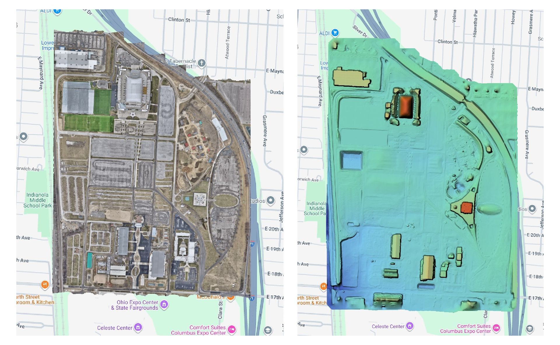
Orthomosaic, DSM, DTM, point cloud, mesh, contours: what each drone mapping deliverable is, what it's for and which file your CAD team needs.
Welcome to the fascinating world of drone technology, where the sky is not the limit but the beginning of endless possibilities. In this comprehensive guide, we dive deep into the tools and techniques that make aerial photography a game-changer for various industries. Whether you're a real estate agent looking to showc
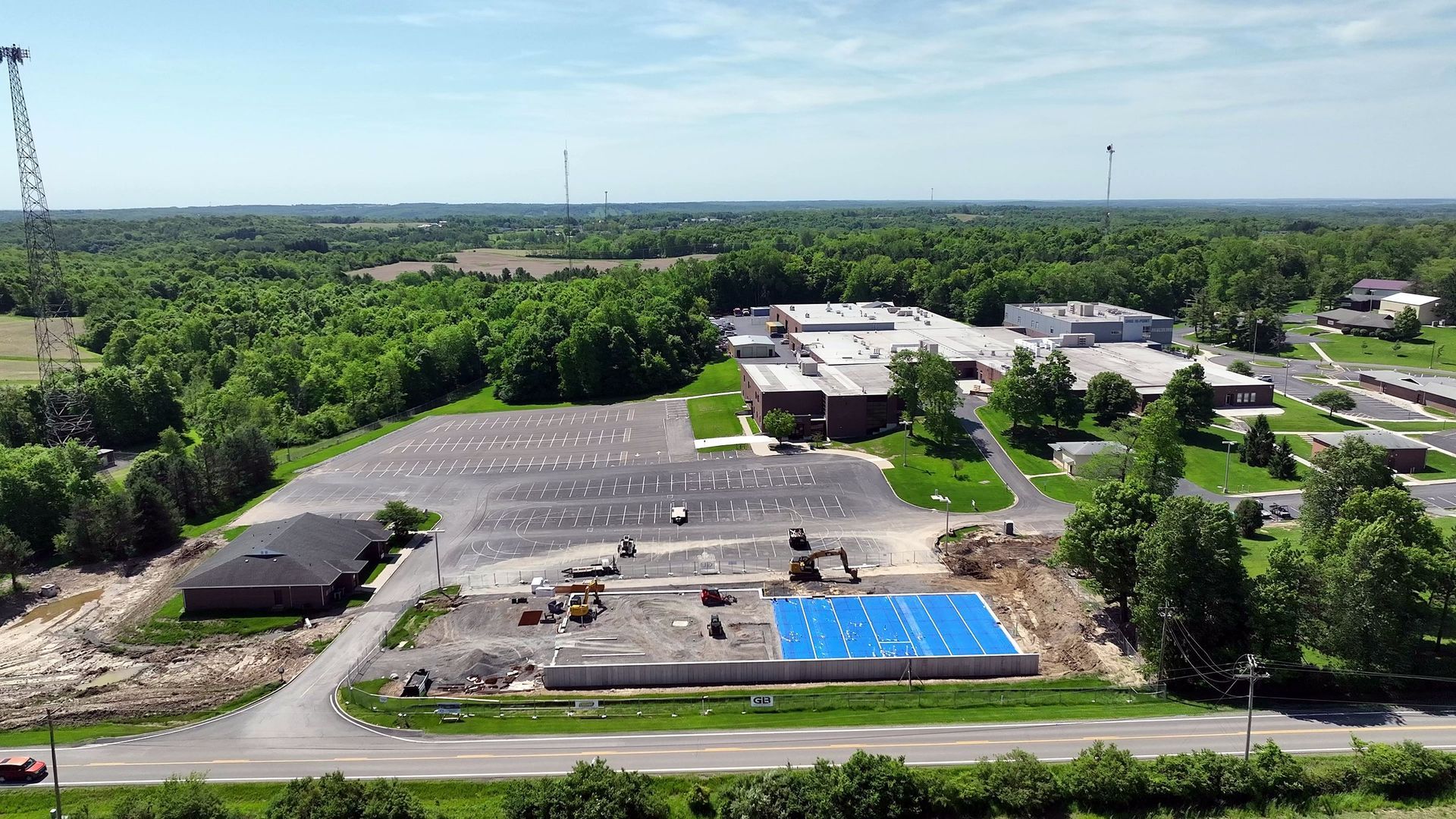
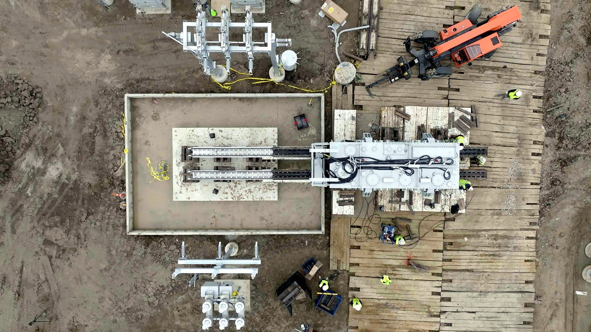
What happens on each drone progress visit, what your team receives, and why repeating the same flight every time matters. Columbus, Ohio.
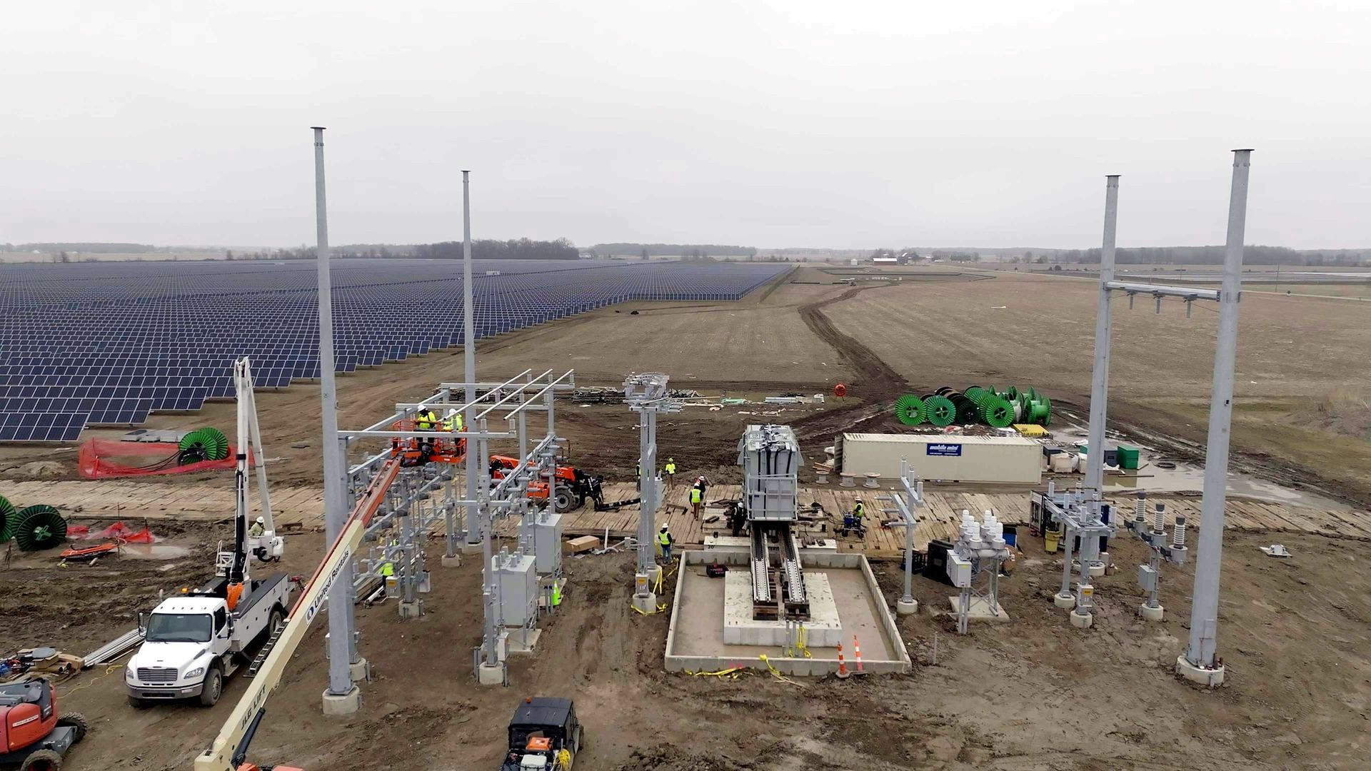
The construction industry is undergoing a profound transformation, and the driving force behind this change is none other than the versatile drone. As an experienced aerial photographer, I've witnessed firsthand how drones are reshaping the construction landscape in Columbus, Ohio, and beyond. The fusion of technology
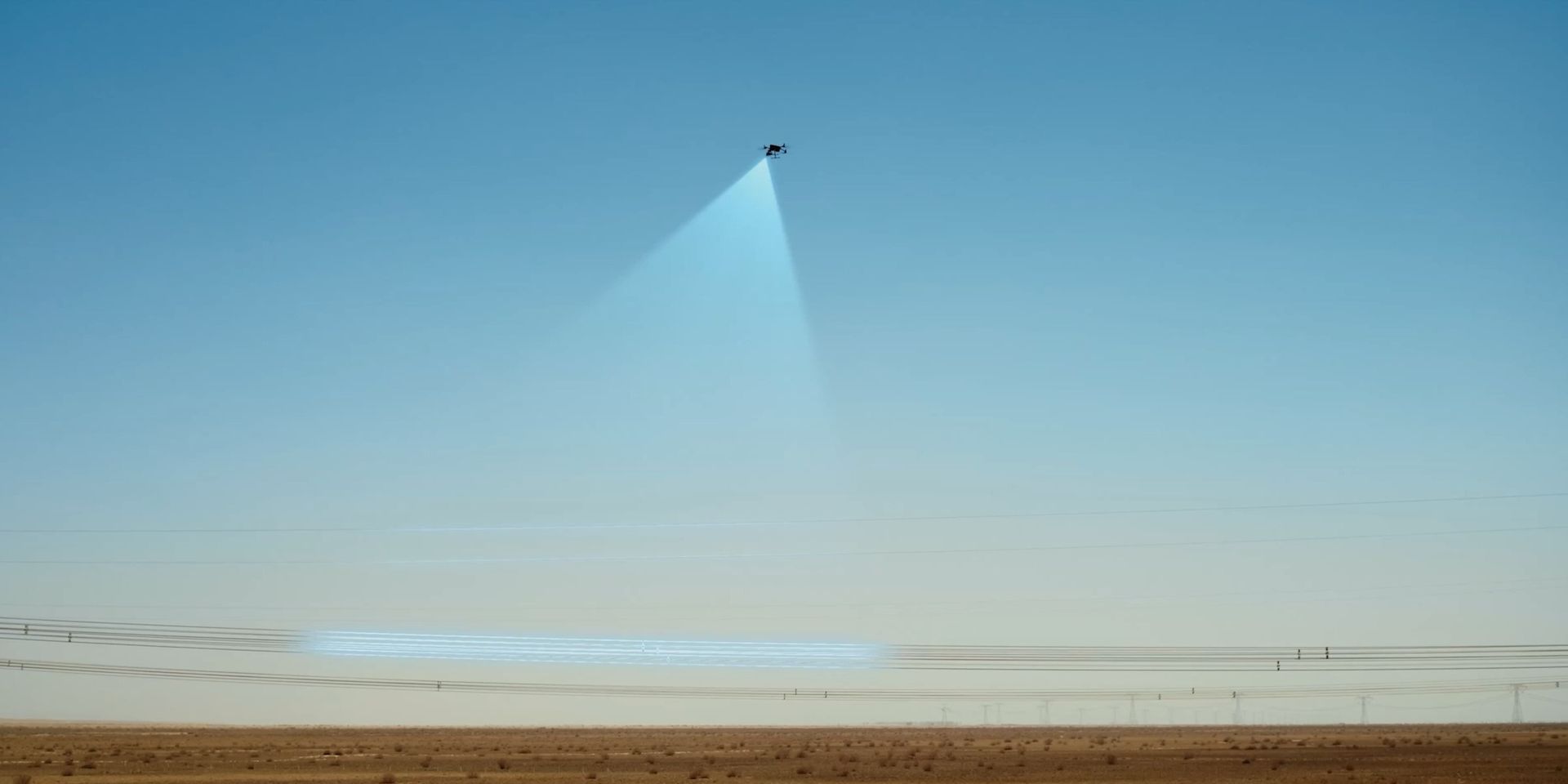
Drone photography is becoming an increasingly popular option for capturing stunning images and videos of weddings. It adds an exciting and unique element to your wedding photography, capturing stunning aerial views of your special day. Drones can capture footage from angles that traditional photography cannot, giving y
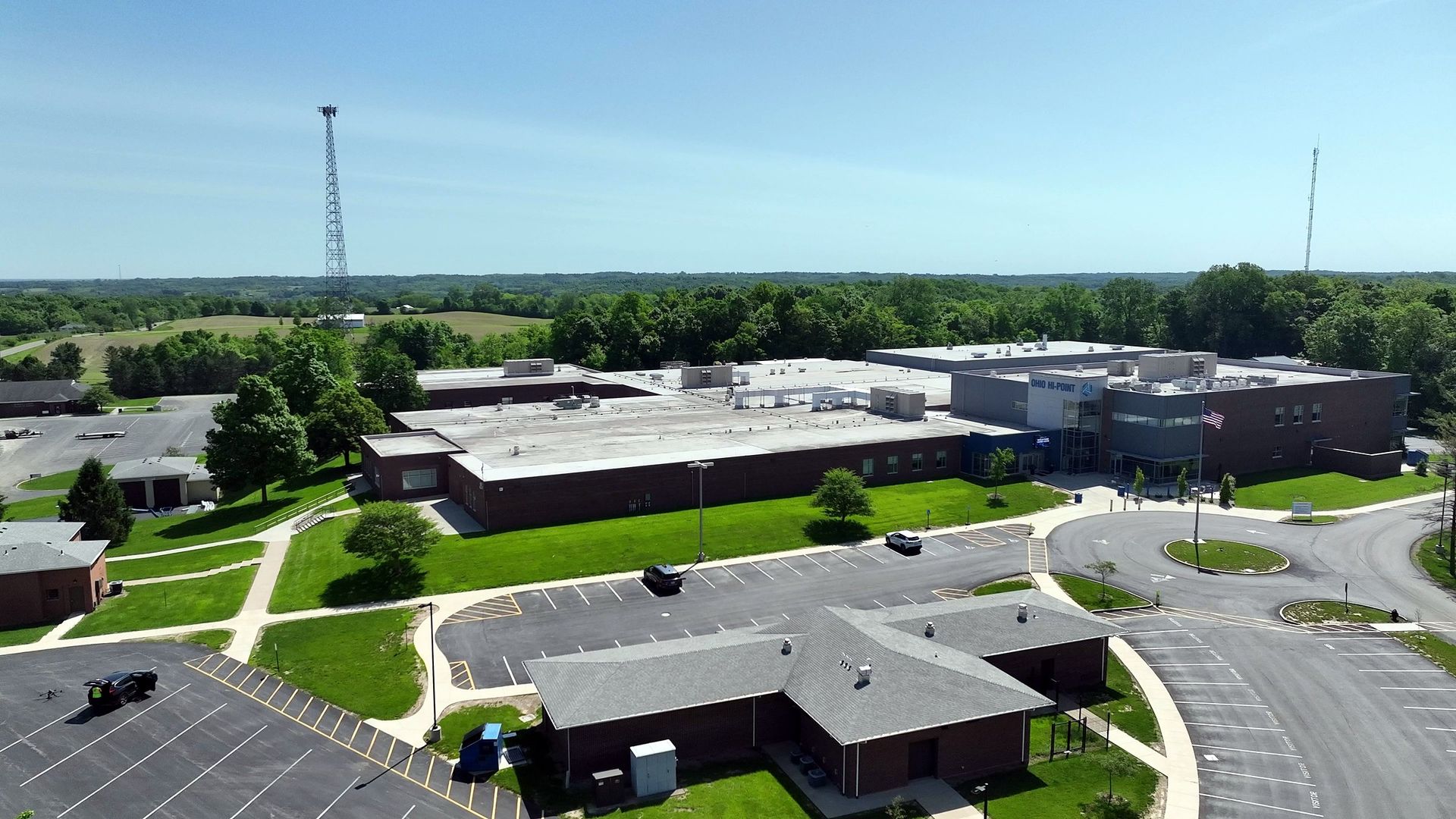
Have you ever wondered what the world looks like from above? Aerial photography can give you that bird's-eye view and capture breathtaking images that can't be seen from the ground. With the rise of drones and other aerial technology, this practice has become more accessible and popular than ever before. From environme
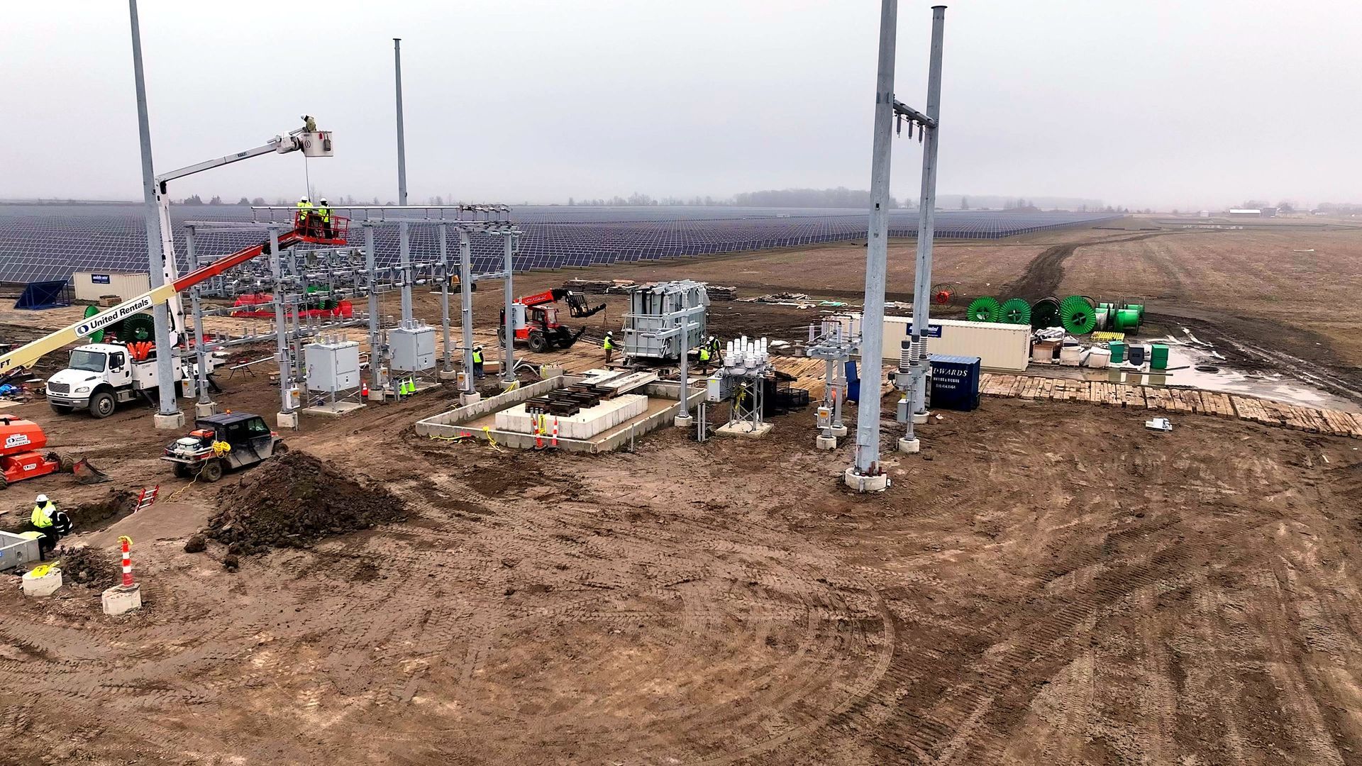
Labor, schedules, and stakeholder demands are reshaping construction. How drone technology — LiDAR, mapping, thermal — improves accuracy and reduces rework.
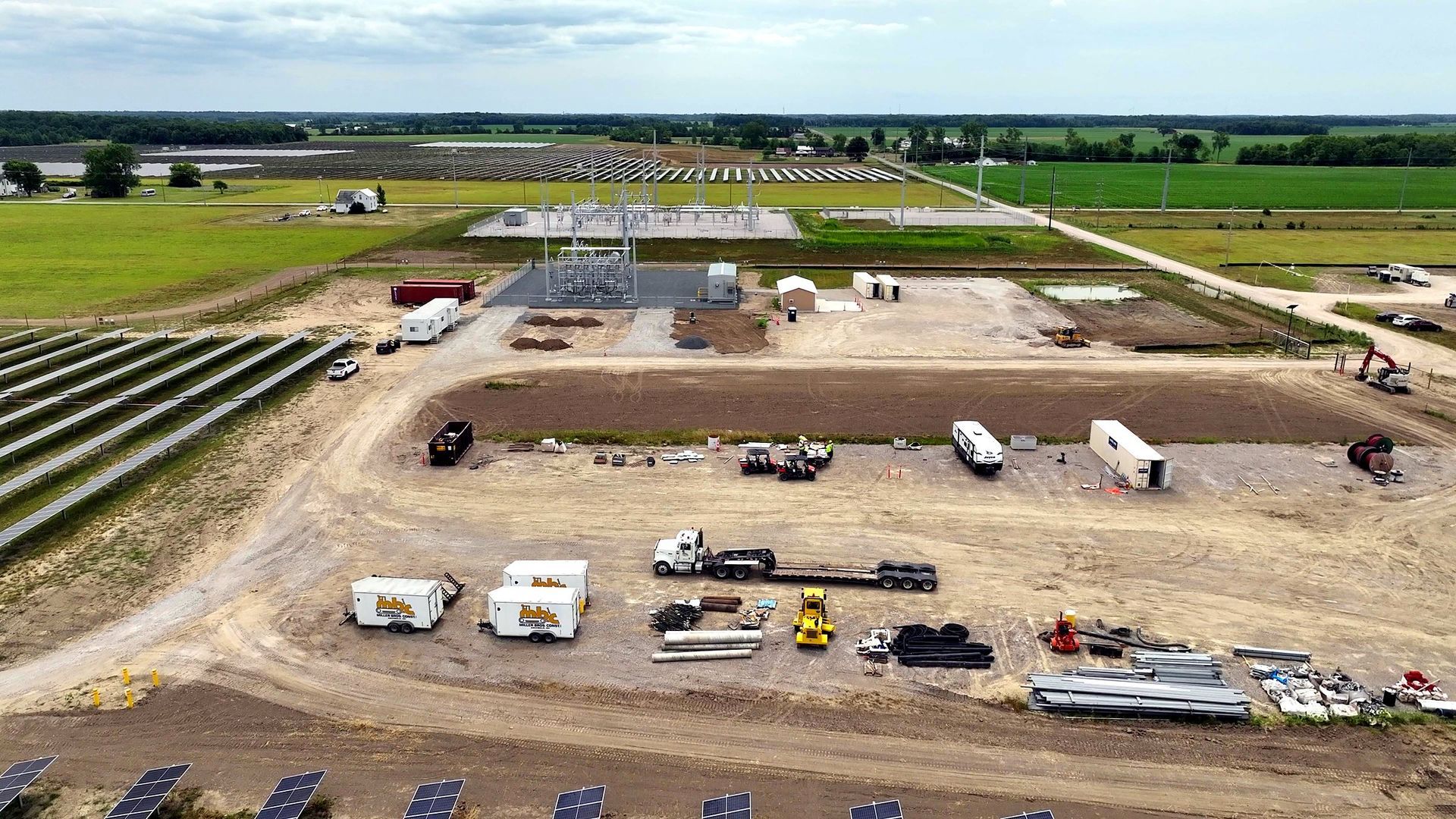
How drone-based construction progress documentation reduces rework, improves stakeholder transparency, and saves time for general contractors. ARO Aerial guide.
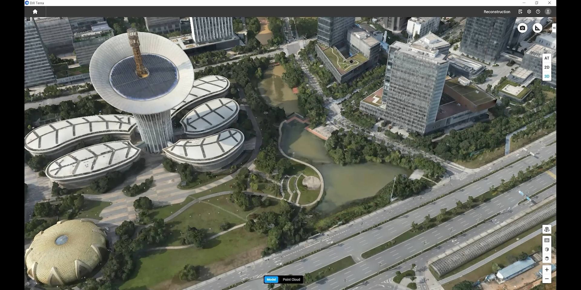
Real estate is an industry where visual appeal is crucial. The way a property looks in photographs can have a significant impact on its perceived value and how quickly it sells. That's where professional real estate photography comes in. High-quality photographs can capture a property's best features, showcase its uniq
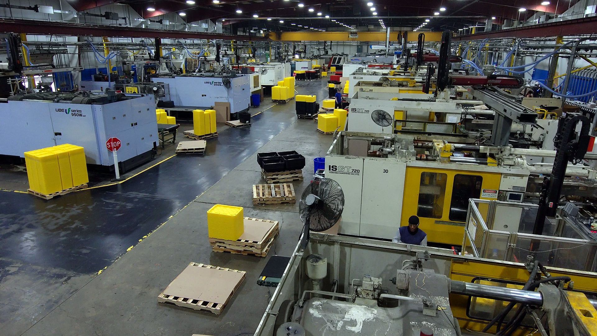
Field-verified iGUIDE virtual tours engineered for construction documentation in Columbus, OH. Measurable, dated, integration-ready. Not just real estate.
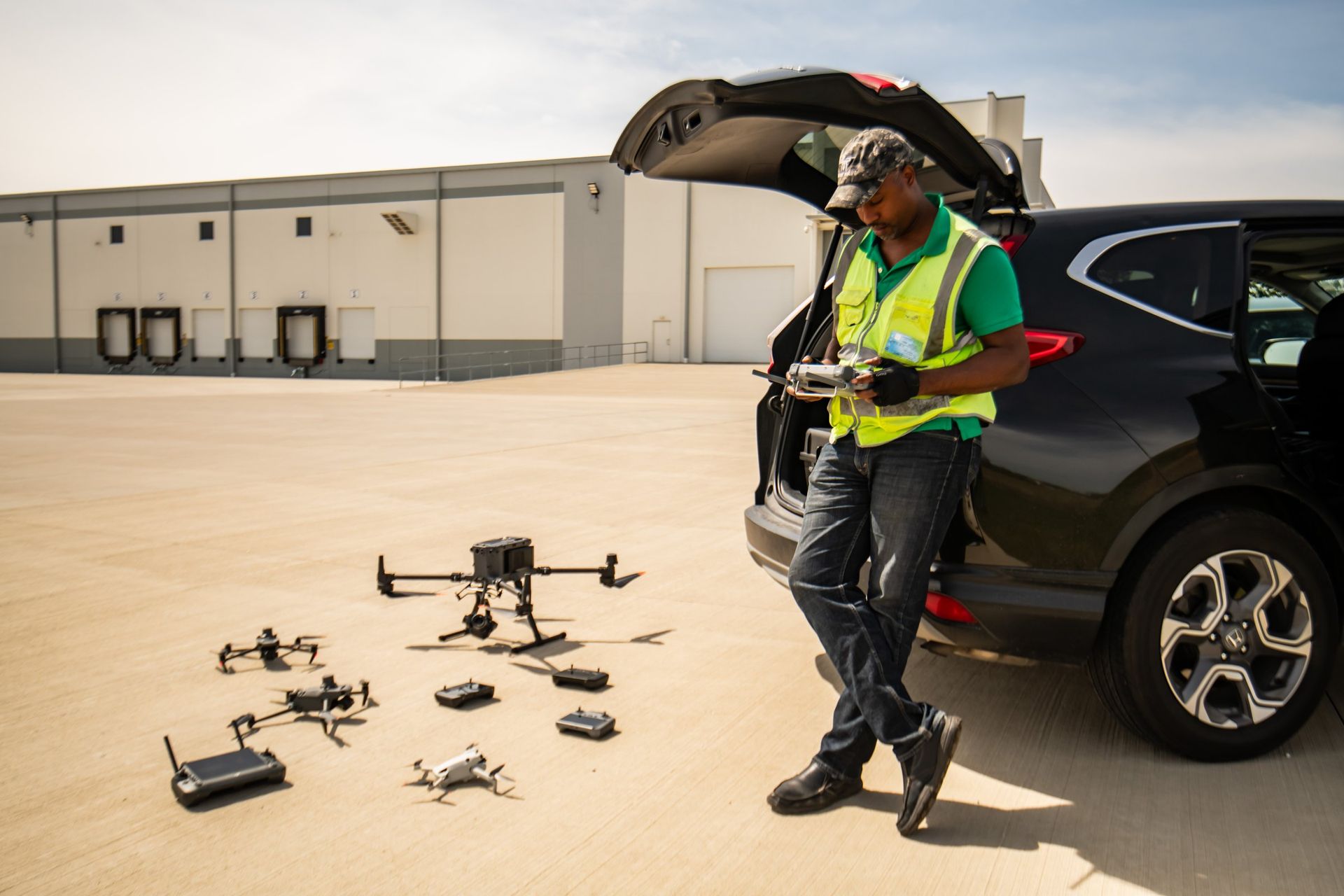
How we plan spec-required preconstruction video and milestone footage: shot lists, matched angles, labeled files your team can find later.
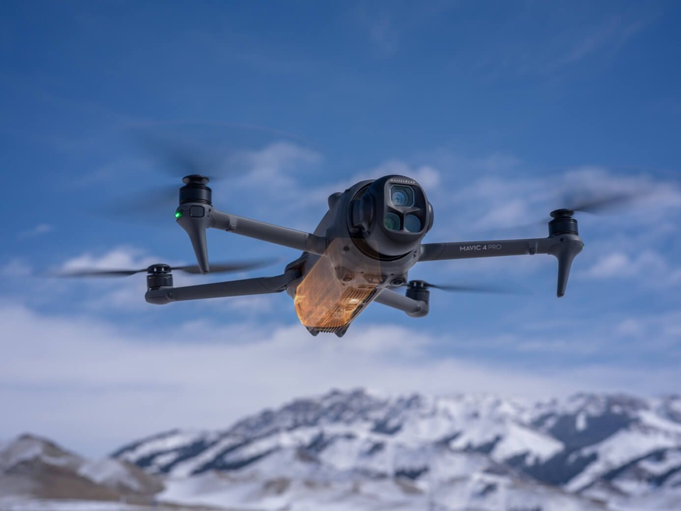
Imagine browsing property listings in Columbus or Fort Wayne and being instantly captivated by a stunning bird’s-eye view of a home, commercial building, or development. That’s the impact of aerial photography—an innovation that’s rapidly changing how real estate is marketed and sold across Ohio and Indiana. Whether yo
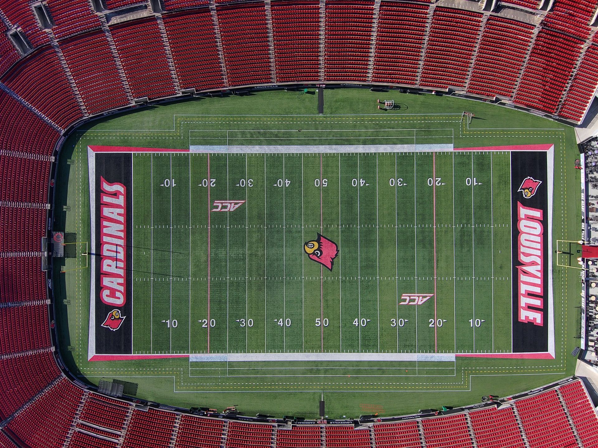
Capturing the essence of large-scale events requires more than just traditional photography. Whether you're an event planner orchestrating a grand wedding, a festival organizer, or a corporate event coordinator, the need for dynamic and engaging visuals is paramount. This is where aerial photography and videography com
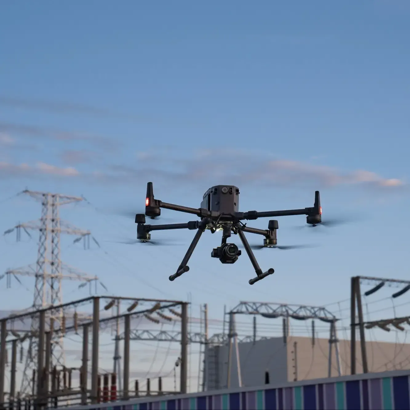
In the rapidly evolving world of real estate marketing, traditional methods are being challenged by innovative techniques that offer fresh perspectives and enhanced engagement. As a business owner, real estate developer, or agent, you understand the importance of standing out in a crowded market. This is where aerial p
As cities continue to expand and evolve, capturing their dynamic growth has become more critical than ever. Aerial photography, armed with advanced drone technology, is at the forefront of this transformation, offering a fresh perspective on urban development. Whether you're a real estate developer, a city planner, or
In the bustling cities of Ohio, where urban landscapes are constantly evolving, the role of aerial photography in real estate marketing cannot be overstated. As a business owner, real estate developer, or agent, you understand the fierce competition in the property market. Standing out requires more than just tradition
In the realm of visual storytelling, the sky is not just the limit but a vantage point offering unparalleled perspectives. Aerial storytelling has revolutionized how we capture moments, providing a bird's-eye view that brings narratives to life in ways ground-level photography simply cannot. Whether you're in real esta
In today's rapidly evolving cities, the role of aerial photography in capturing the essence of urban development is more significant than ever. As cities expand and transform, the ability to visualize these changes from above offers unique insights into urban planning and real estate marketing. With the advent of advan
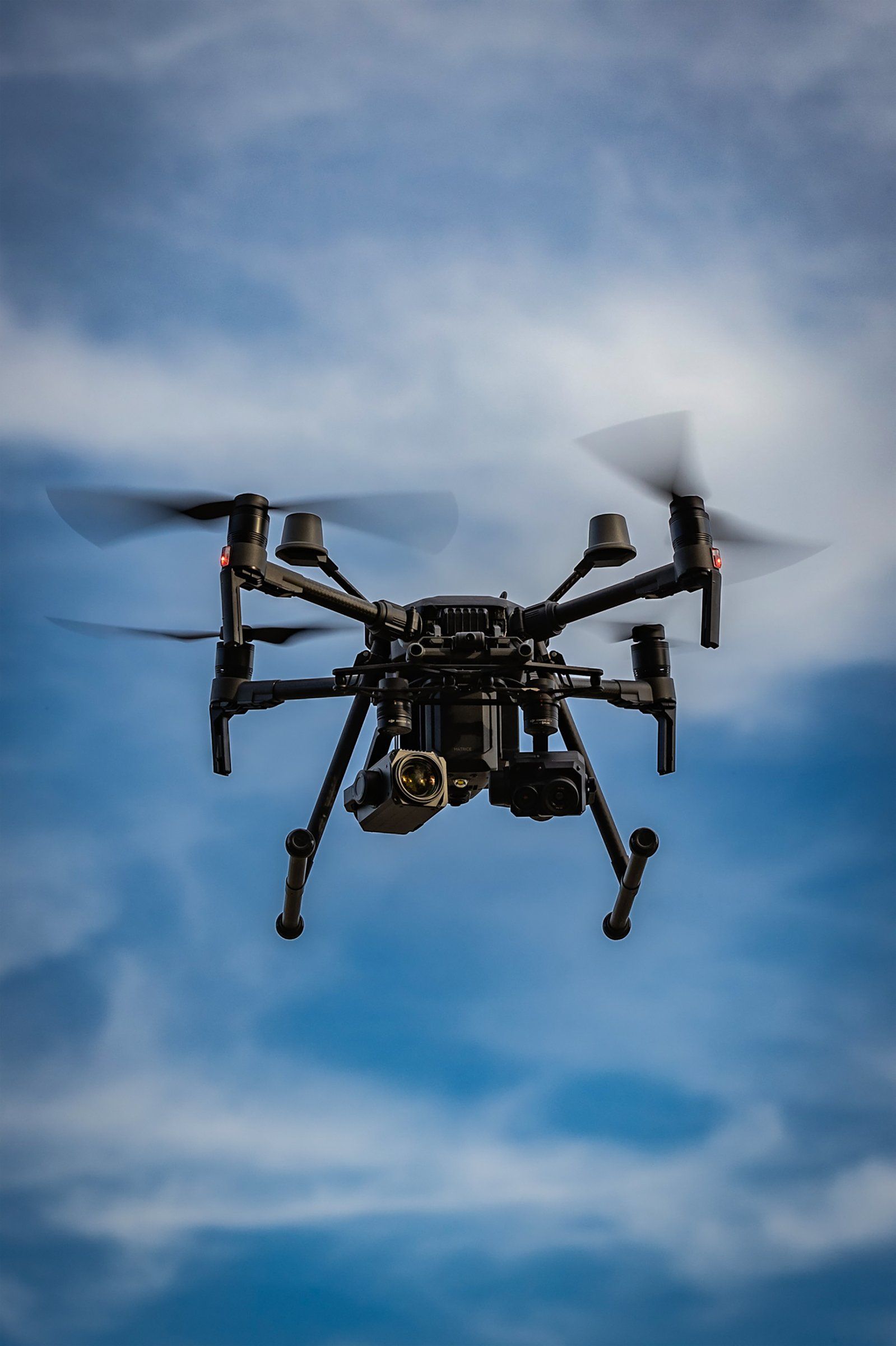
In the bustling world of corporate events, standing out is no longer just an option—it's a necessity. As businesses strive to leave a lasting impression on attendees, the integration of innovative technologies has become paramount. One such technology that is transforming the landscape of corporate events is aerial vid
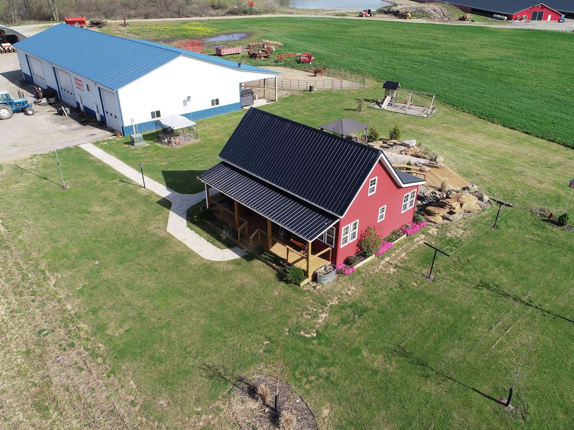
The real estate industry has always relied heavily on visual content to attract potential buyers and showcase properties effectively. In recent years, the integration of aerial photography has become a game-changer in this sector. The traditional ground-level photos and videos, while still valuable, often fail to captu
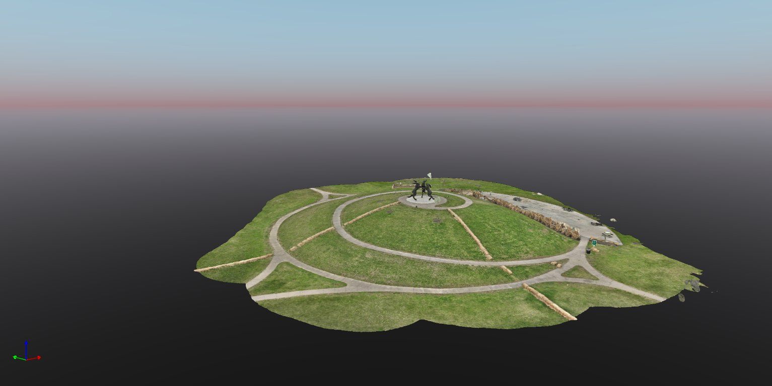
LiDAR, which stands for Light Detection and Ranging, is a remote sensing technology that uses laser light to measure distances. It creates precise, three-dimensional information about the shape and surface characteristics of the Earth. This technology has become a cornerstone in urban planning and development, offering
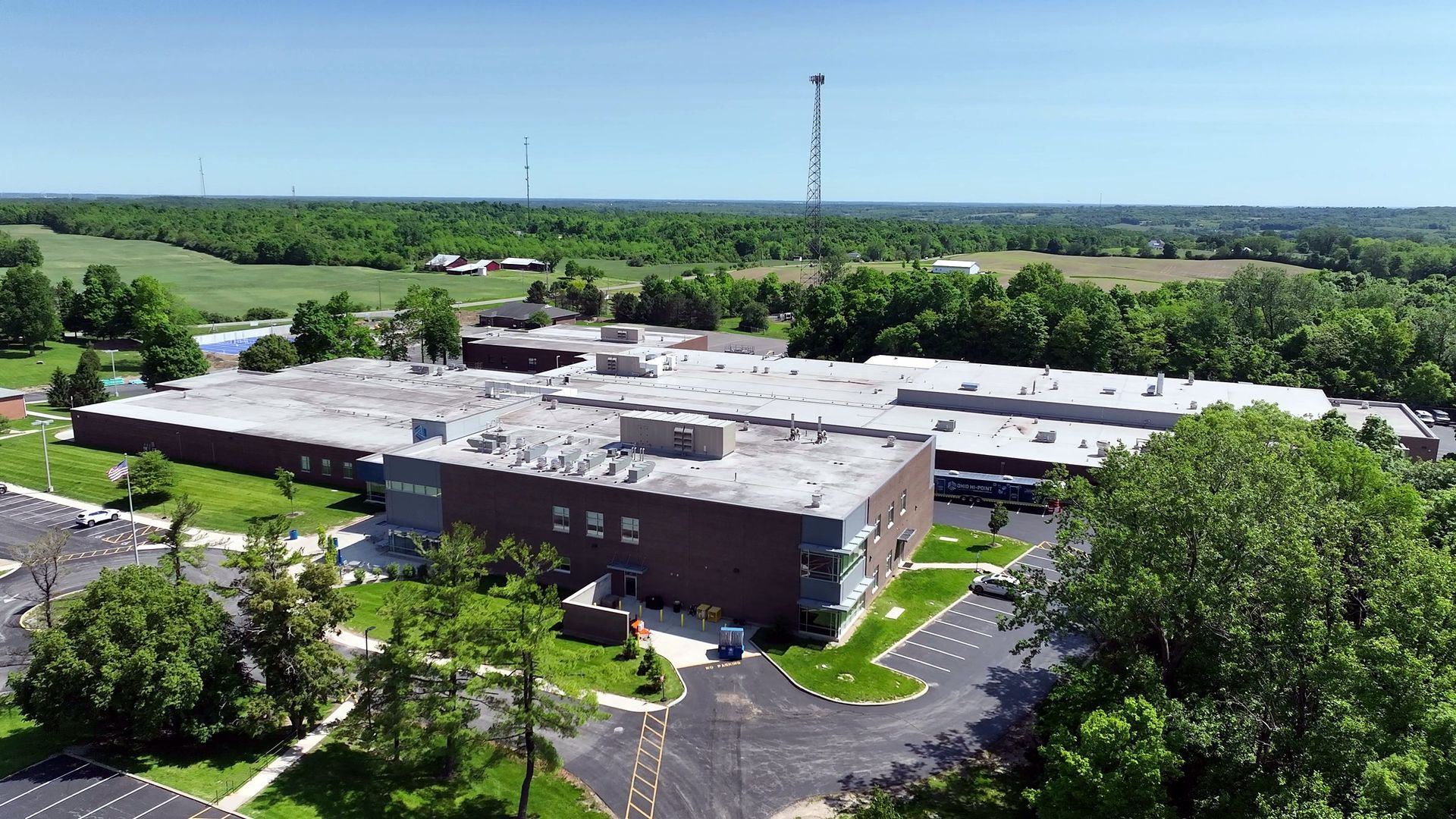
In the competitive world of real estate marketing, standing out is paramount. Aerial photography has emerged as a game-changing tool for enhancing real estate appeal and elevating property listings. By capturing stunning visuals from above, aerial photography offers a unique perspective that traditional ground-level ph
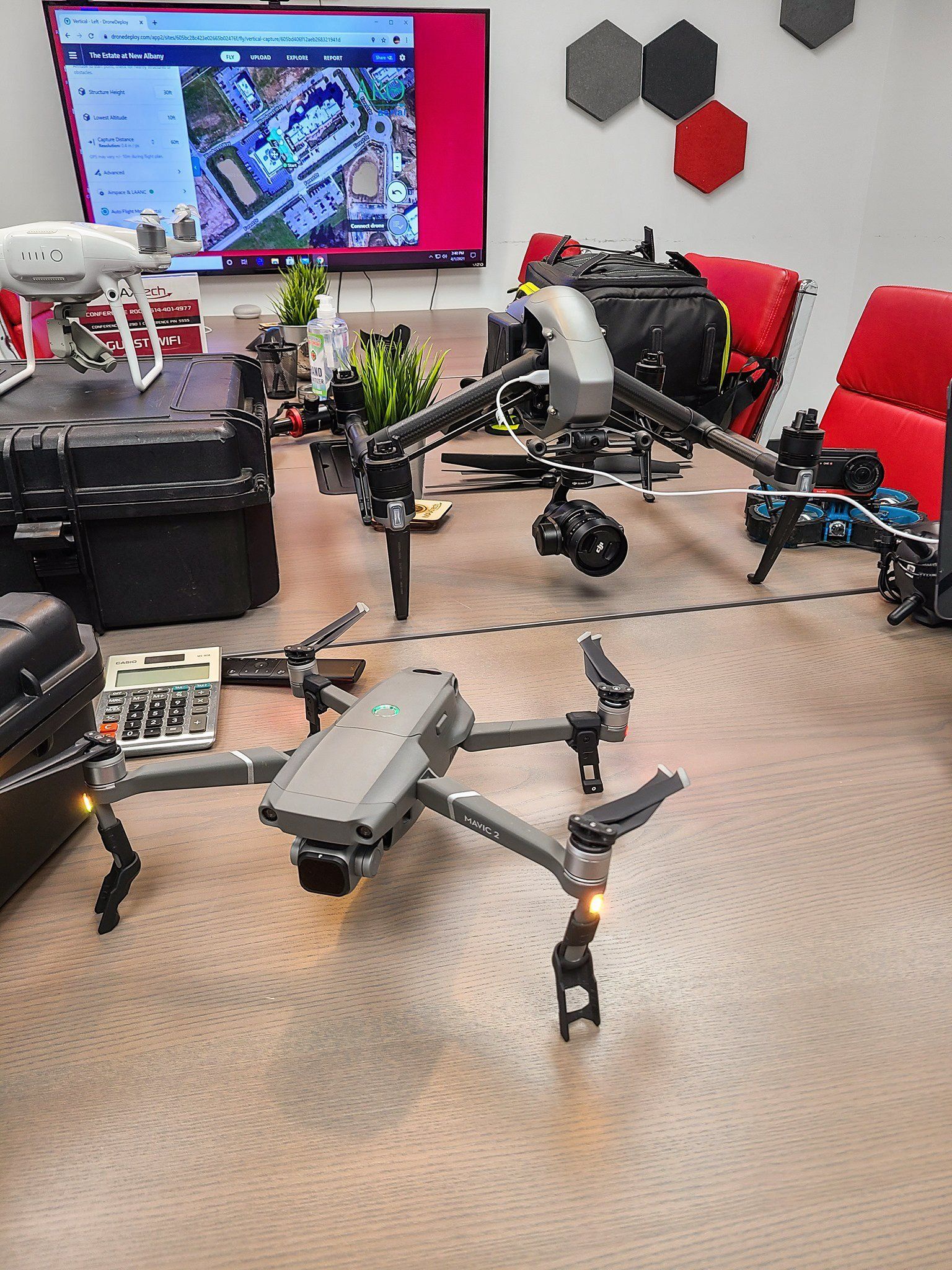
In the fast-paced world of real estate marketing, staying ahead of the competition requires innovative strategies and cutting-edge technology. One such technological advancement that is revolutionizing the industry is drone technology. By offering unparalleled aerial views and showcasing property features in a unique a
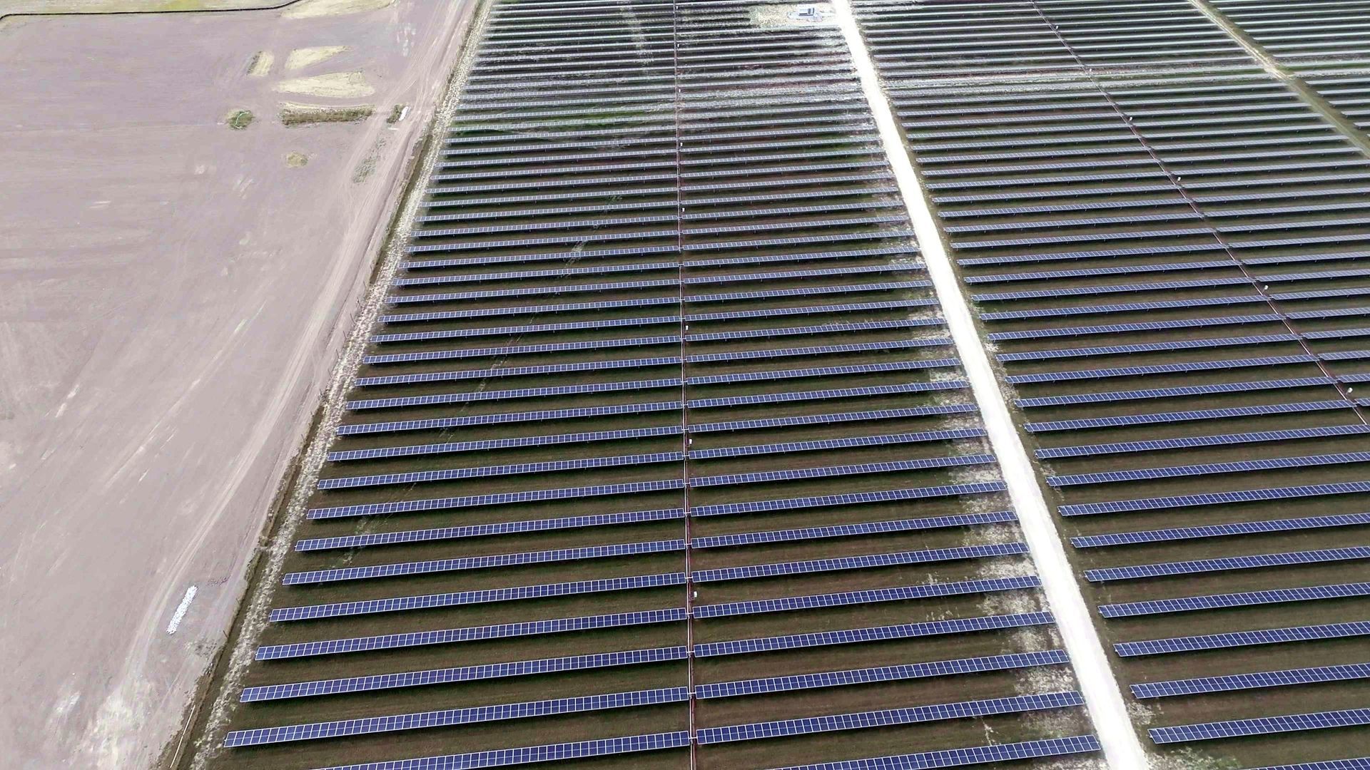
An overview of how drone technology integrates into modern construction practices — efficiency, safety, sustainability, and data-driven decision making.
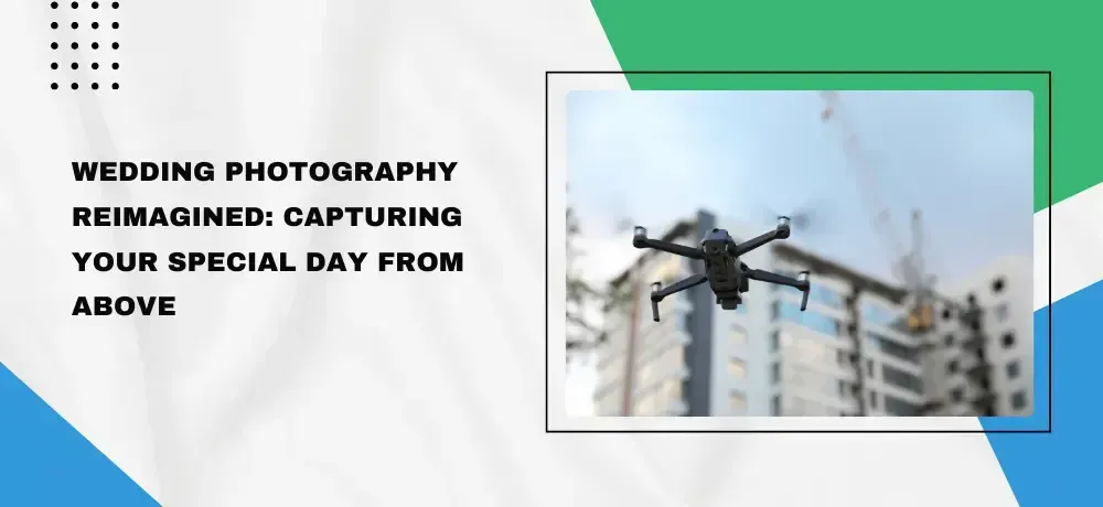
Imagine the most beautiful day of your life enhanced by the breathtaking vistas of aerial photography. At ARO Aerial Inc, we bring a unique perspective to your wedding celebrations, capturing the grandeur and emotion of your special day from the skies above. Aerial wedding photography is not just about adding a wow fac

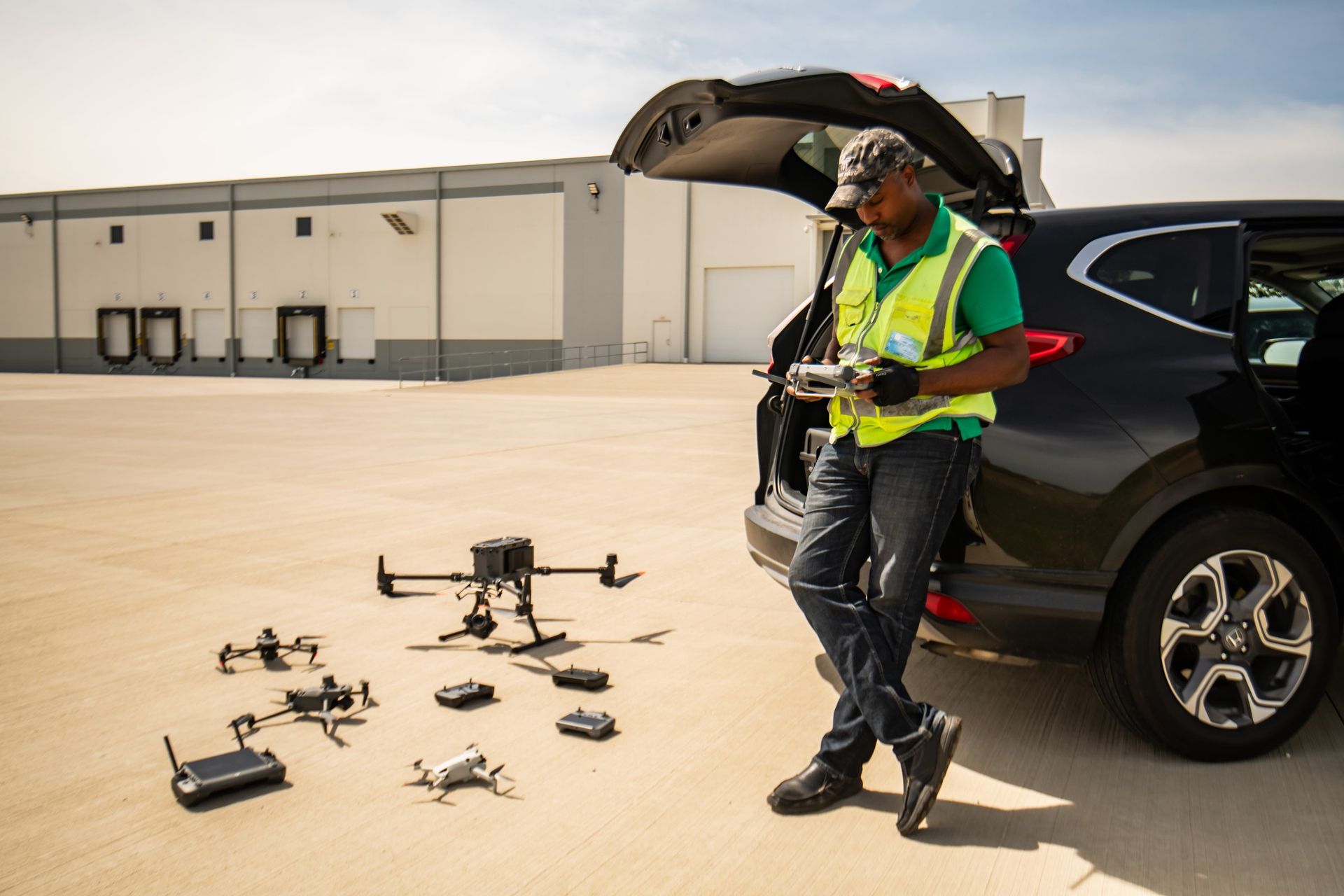
A USI Certified Instructor explains what your drone vendor must handle under Part 107: airspace, flying over workers, Remote ID and insurance.
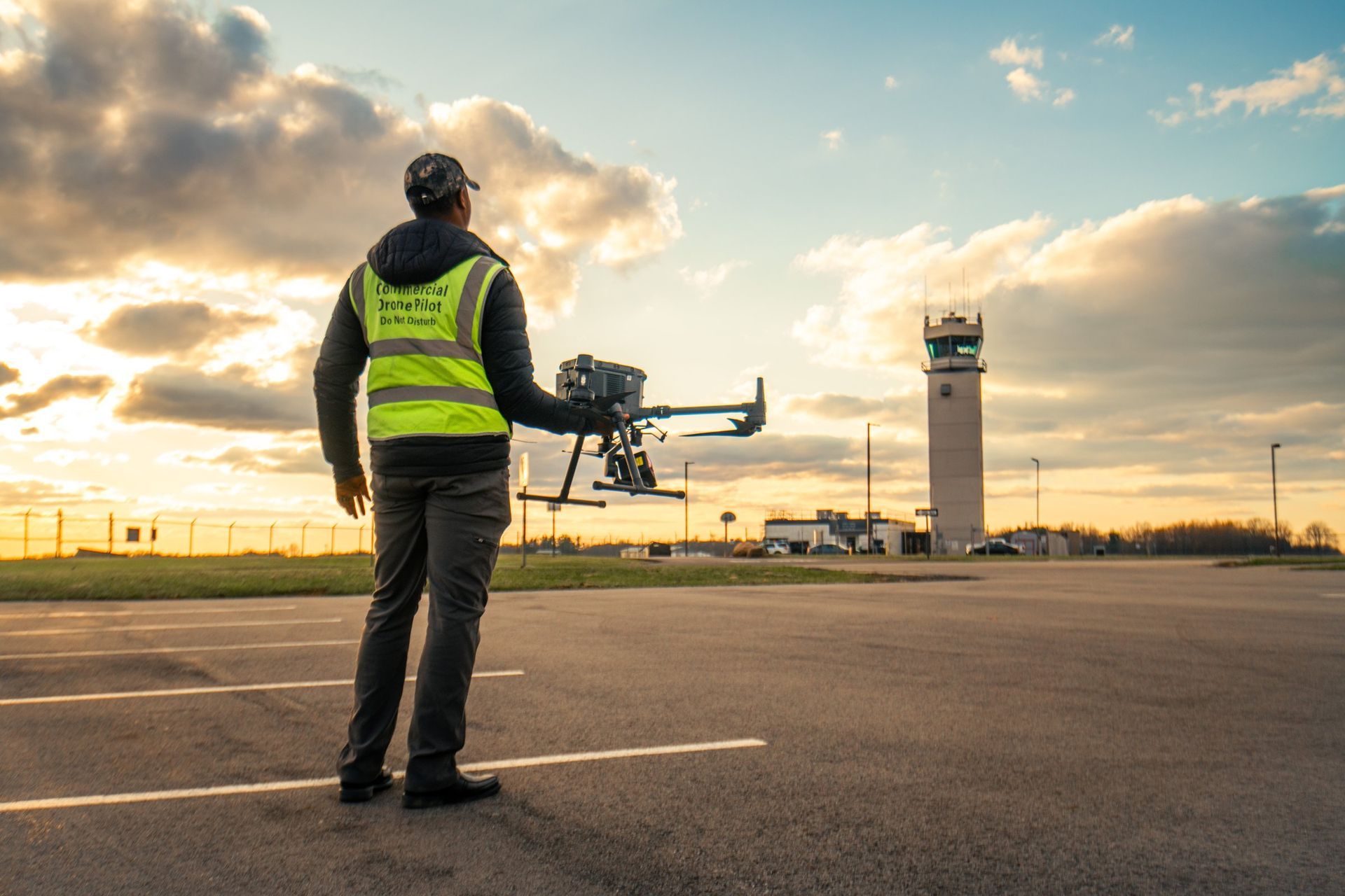
Imagine your next corporate event not just as a gathering but as a cinematic experience that leaves a lasting impression on every attendee. In the dynamic world of corporate events, standing out is more crucial than ever. This is where aerial videography steps in, transforming standard events into memorable visual spec
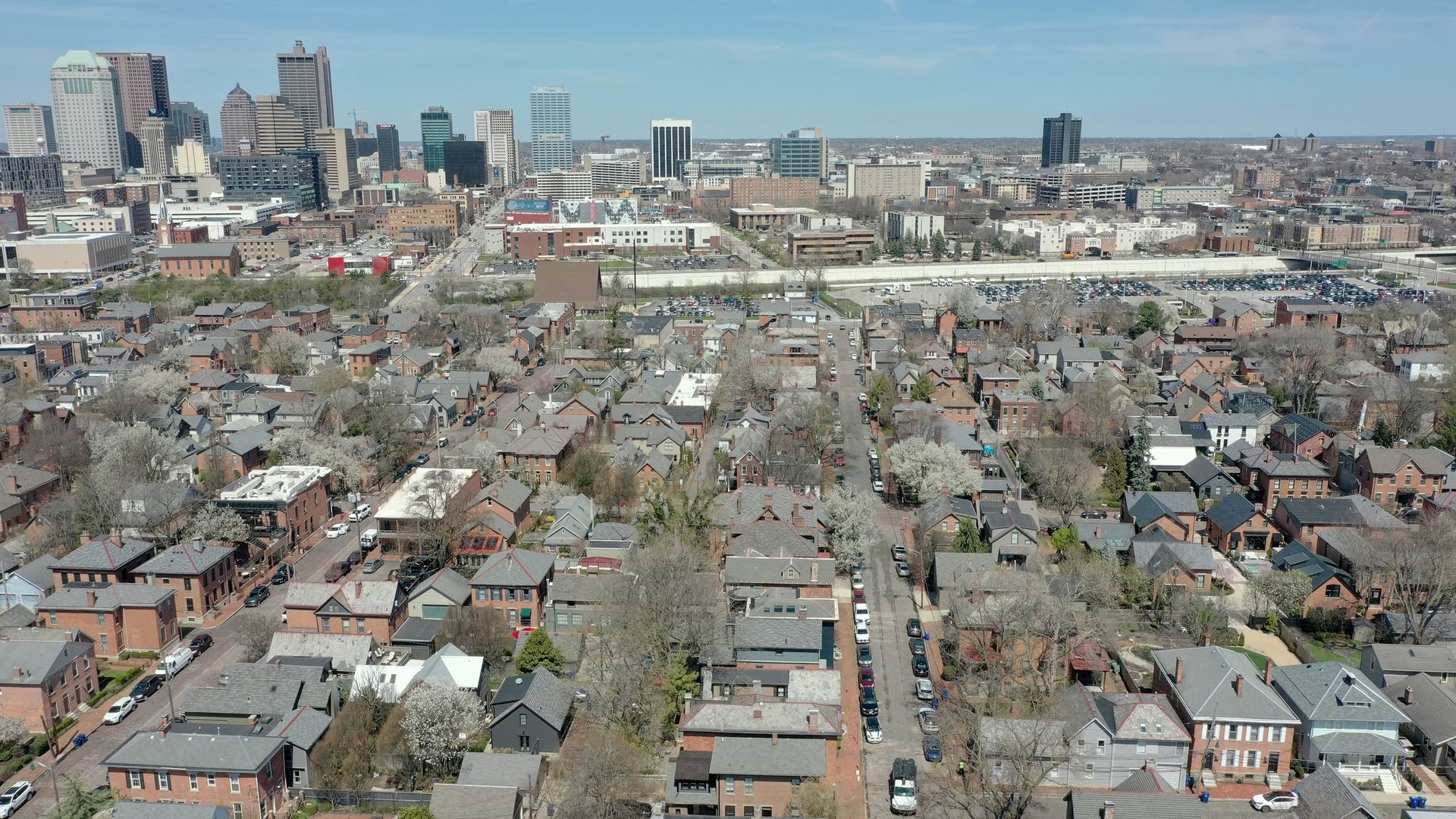
In the ever-evolving digital marketing landscape, staying ahead of the curve is not just an advantage but a necessity. Aerial videography, once a niche luxury, has now emerged as a powerful tool in the arsenal of innovative marketers. With the advent of drone technology, capturing stunning, high-quality aerial footage
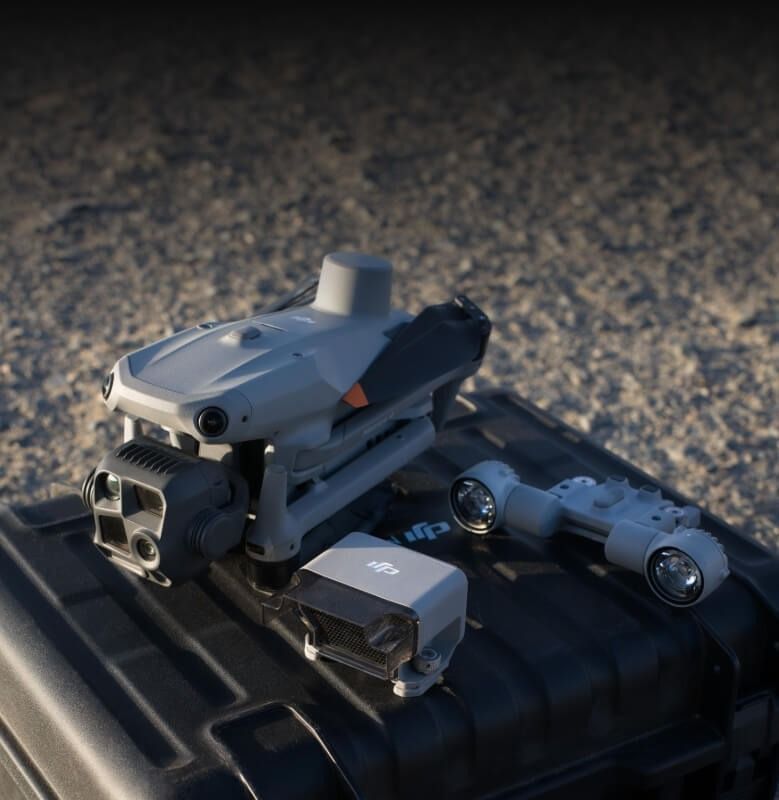
As drone technology becomes increasingly popular for both professional and recreational use, understanding drone photography's legal and ethical considerations is crucial. Whether capturing stunning aerial views of real estate or filming a corporate event, adhering to the laws and respecting ethical guidelines ensures
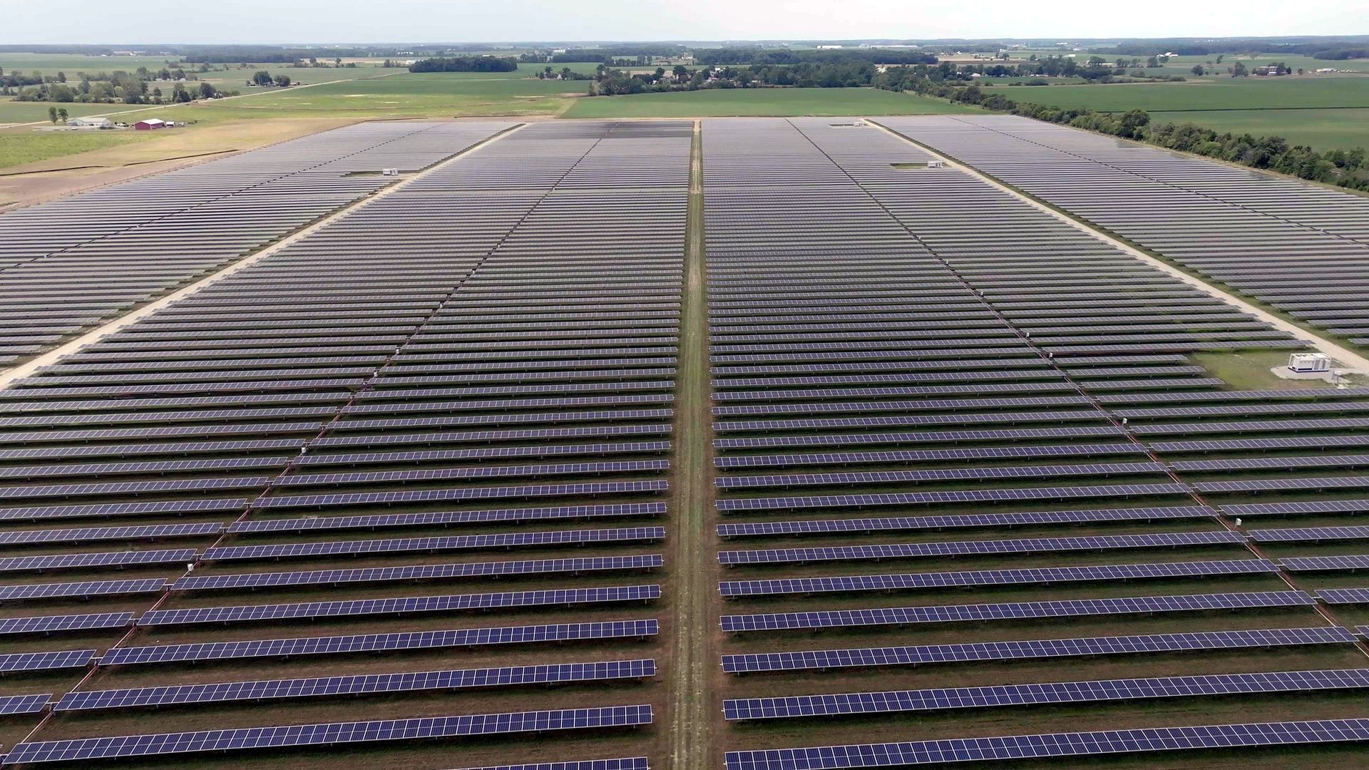
What a drone thermal survey of a solar array finds, the sun it needs, and the report you get: hot cells, diodes, offline strings. Central Ohio.
In today's fast-paced real estate market, the adoption of innovative technologies such as virtual tours is not just an advantage; it's becoming a necessity. At ARO Aerial Inc, we specialize in leveraging aerial photography and videography to create immersive virtual tours that transform the way properties are presented
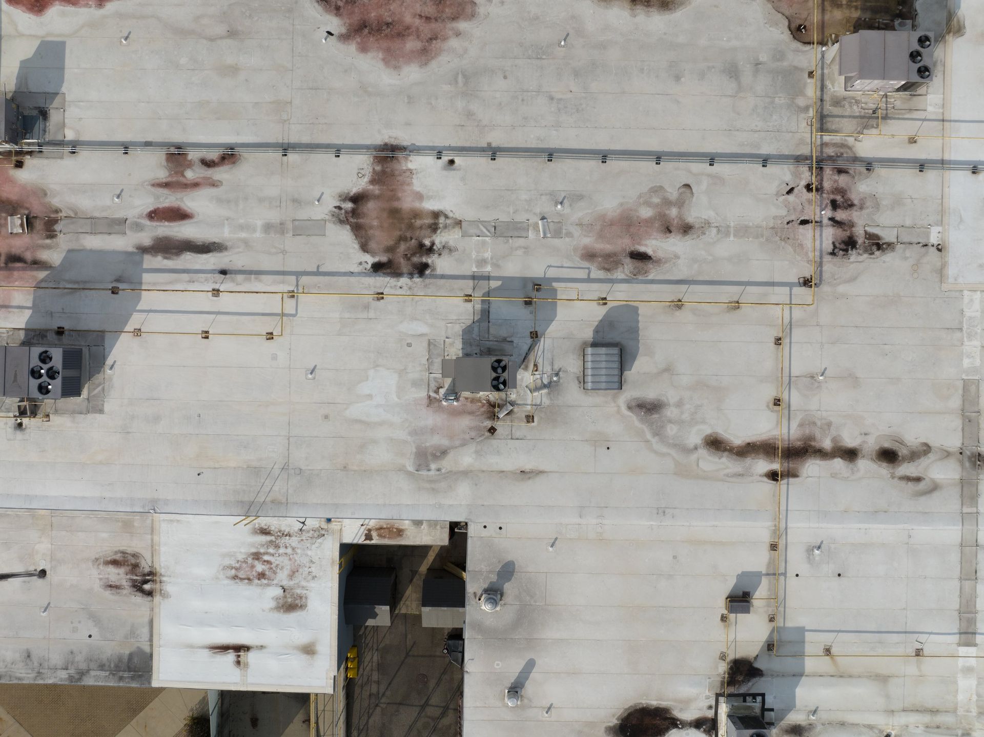
Roof inspections are a critical aspect of property maintenance that often goes overlooked until significant damage is evident. Traditionally, these inspections require manual labor, which can be time-consuming, costly, and sometimes dangerous. However, with technological advancements, drones have emerged as a powerful
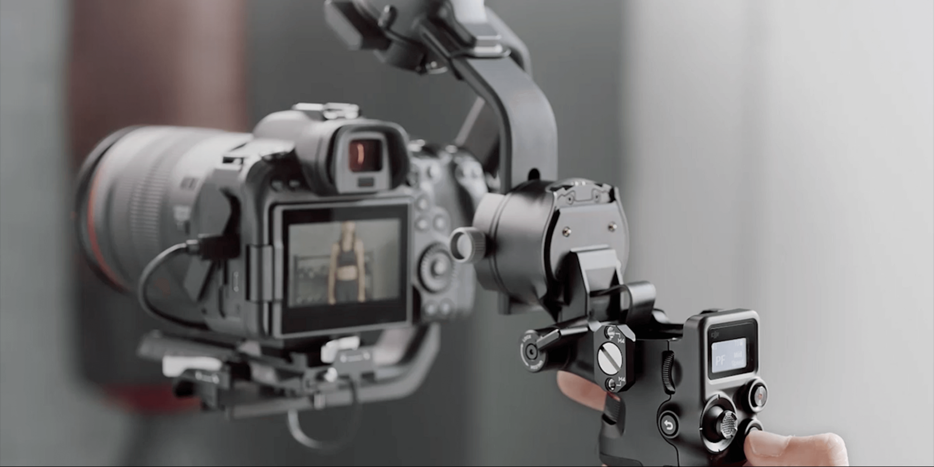
In the ever-evolving landscape of digital marketing, staying ahead of the curve is crucial for businesses looking to make a lasting impact. One strategy that has consistently proven its effectiveness is incorporating video production into your marketing efforts. In this blog, we will delve into the myriad benefits that
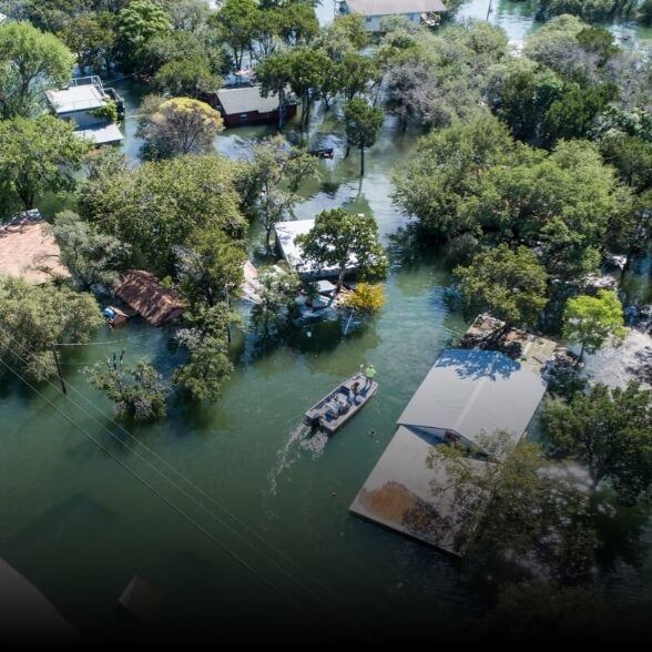
In the dynamic realm of real estate and construction, the use of cutting-edge technology has become paramount. One such innovation that has revolutionized the way we approach aerial photography and site monitoring is drone inspections. At ARO Aerial Inc, we recognize the transformative power of drone inspections in enh
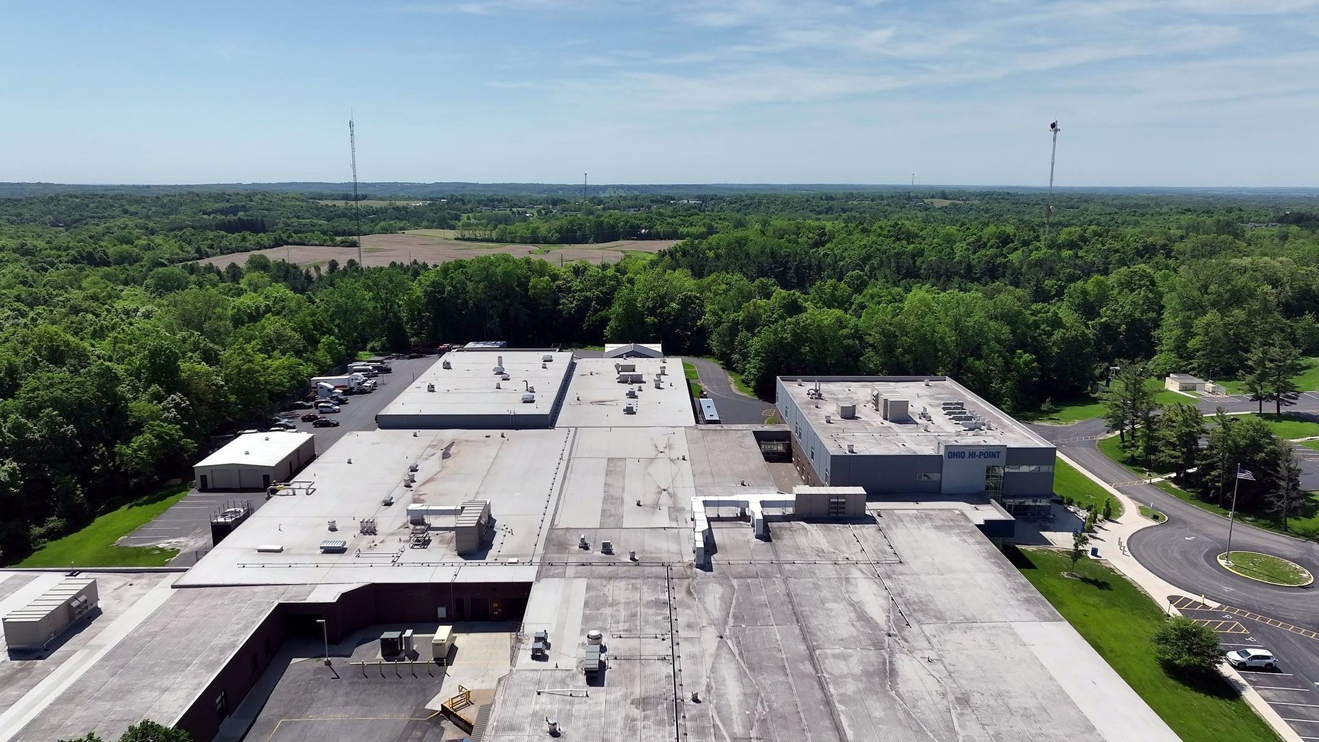
How a drone infrared roof survey finds wet insulation, the weather it needs, its limits, and why every finding gets a core cut. Columbus, OH.
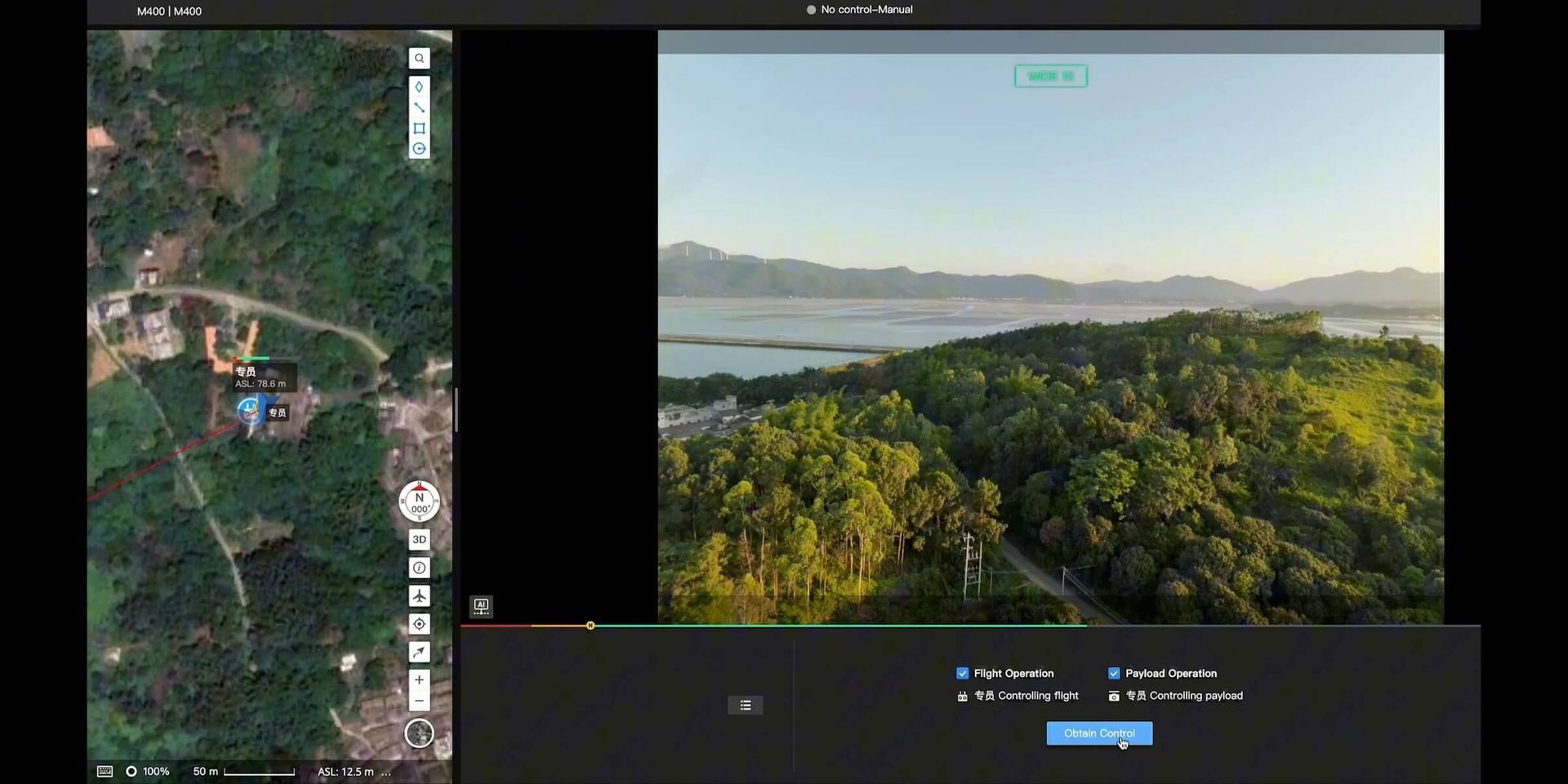
In the heartland of Ohio and beyond, the agricultural landscape is undergoing a modern makeover thanks to an unexpected ally: drones. As a passionate drone photographer, I've had the privilege of witnessing the transformative impact that drones are having on the agriculture industry. From precision farming to crop moni
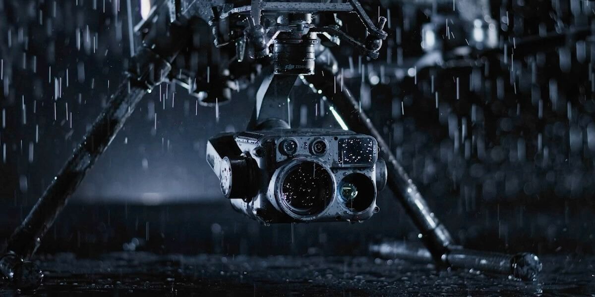
In the digital age, video content has become an essential marketing tool for businesses. Whether you want to create engaging advertisements, product demos, explainer videos, or captivating brand stories, finding the right video production partner is crucial. ARO Aerial Inc, based in Columbus, Ohio, offers a range of vi
What photogrammetry is, when drone LiDAR beats it, and how to choose for your site. From a Columbus pilot who flies both every month.