Why Progress Documentation Needs an Upgrade
Construction teams are under more pressure than ever to deliver accurate updates, reduce rework, and maintain transparency with owners and stakeholders. Traditional ground photos can’t capture the full picture — literally.
Drones solve this by providing consistent, repeatable, measurable documentation that supports:
- Weekly progress updates
- Subcontractor accountability
- RFI and change order justification
- Owner communication
- Safety and compliance reporting
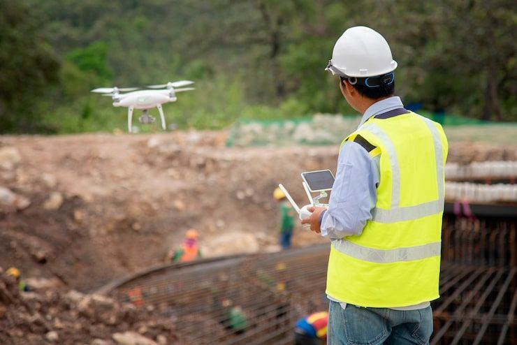
🚁 How Drone‑Based Progress Documentation Works
1. Consistent Flight Paths = Consistent Data
Using automated flight plans, we capture the same angles, elevations, and paths every time.
This ensures:
- True apples‑to‑apples comparisons
- Accurate progress measurement
- Reliable visual timelines
2. Orthomosaics for Site‑Wide Visibility
High‑resolution, georeferenced orthomosaics give GCs a single source of truth for:
- Material staging
- Site logistics
- Safety compliance
- Utility routing
- Perimeter checks
3. LiDAR for Structural & Earthwork Verification
LiDAR adds a layer of survey‑grade accuracy to progress documentation:
- Cut/fill tracking
- Grading verification
- Structural progress measurement
- As‑built comparisons
4. 3D Models for Stakeholder Communication
3D models and digital twins help:
- Owners visualize progress
- Teams identify issues early
- Subcontractors coordinate
- Civil engineers validate design alignment
🛠️ GC‑Friendly Workflows That Save Time
Weekly or Bi‑Weekly Capture
Most GCs choose a consistent cadence to maintain predictable reporting.
Progress Reports
Delivered as:
- Orthomosaics
- 3D models
- LiDAR scans
- Annotated visuals
- Web‑based viewers
RFI & Change Order Support
Aerial data provides defensible evidence for:
- Scope changes
- Delays
- Material discrepancies
- Subcontractor accountability
🧱 Why GCs Choose ARO Aerial
Technical Accuracy
RTK/PPK workflows, LiDAR, and photogrammetry ensure precision.
Construction‑Ready Deliverables
Everything is formatted for GCs, civil engineers, and project managers.
Premium Support
We don’t just deliver files — we help you interpret them and integrate them into your workflow.