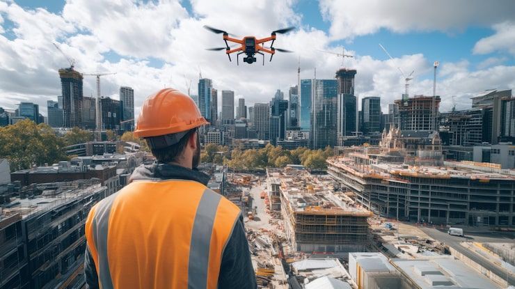
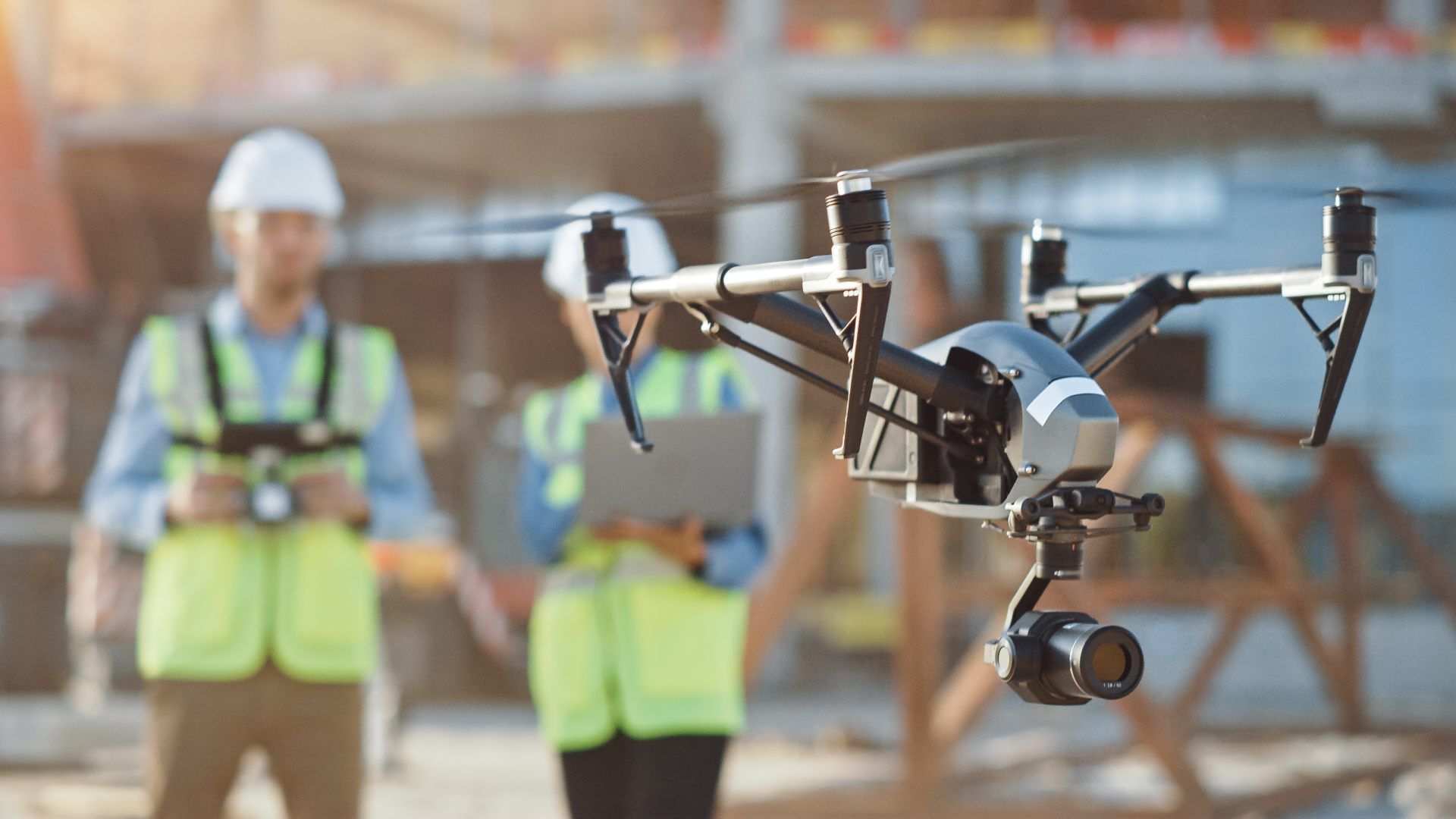
Drone Services for Construction Teams
Construction Hub
FAA Part 107
MBE & EDGE
Level 1 Thermographer
OSHA 10 Trained
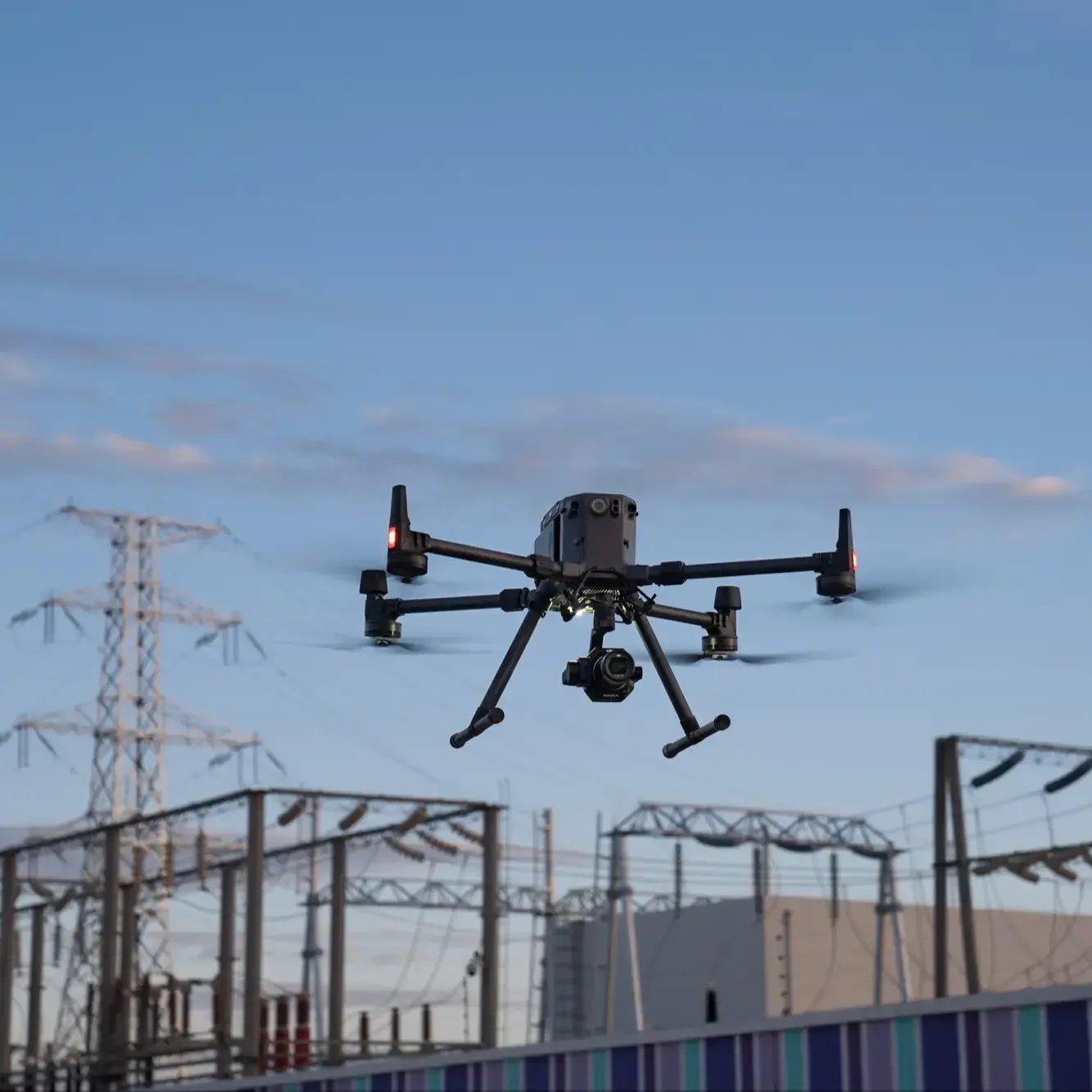
DJI Zenmuse L3 LiDAR
Six Core Construction Service Lines
ARO Aerial delivers construction-grade drone services built for general contractors, construction managers, and owners. Our six specialized services — progress photography, drone mapping with volumetrics, LiDAR terrain scanning, thermal inspections, milestone videography, and virtual walkthroughs — provide reliable documentation, reduce RFIs, and improve stakeholder visibility on active jobsites across Central Ohio.
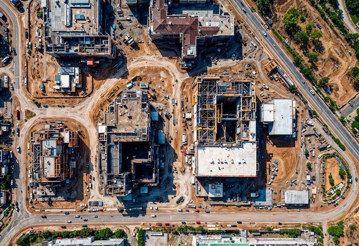
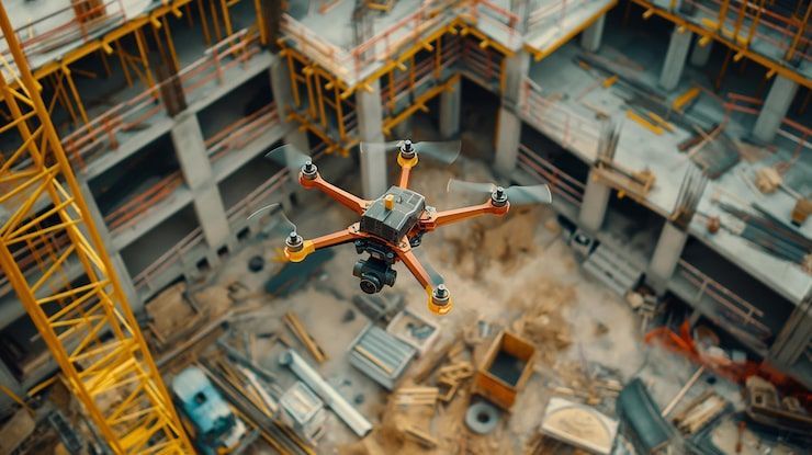
Construction Aerial Photography & Progress Documentation
●Recurring high-resolution photo sets for progress tracking and owner reporting.
Construction Drone Mapping & 3D Modeling
Orthomosaics, volumetrics, and plan-vs-actual overlays for earthwork and milestones.
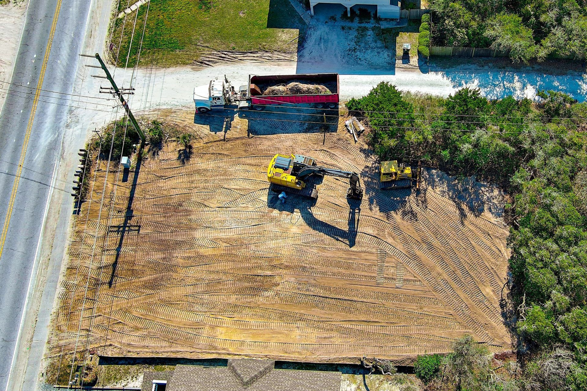
Construction LiDAR Services
Bare-earth terrain models and earthwork verification on active jobsites.
Construction Thermal Imaging & Infrared Inspections
Envelope, roofing, and MEP thermal scans for quality control.
Construction Videography & Milestone Documentation
●Cinematic progress and milestone video for stakeholders.
Construction Virtual Walkthroughs & Remote Stakeholder Reporting
Immersive 360° progress tours for remote visibility and closeout.
