Construction Is Evolving — Fast
Labor shortages, tighter schedules, rising material costs, and increasing owner expectations are reshaping the construction landscape. To stay competitive, GCs, civil firms, and industrial builders need tools that improve accuracy, reduce rework, and streamline communication.
Drone technology is no longer a “nice to have.” It’s a core operational asset.
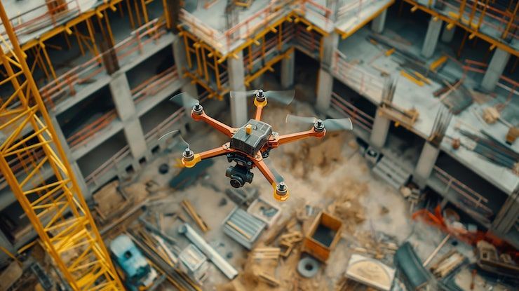
🚁 How Drones Improve Project Efficiency
1. Faster, More Accurate Site Data
Traditional surveys can take days.
Drone‑based LiDAR and photogrammetry deliver:
- High‑accuracy point clouds
- Orthomosaics
- 3D models
- Volume calculations
…in a fraction of the time.
This accelerates:
- Grading decisions
- Utility planning
- Earthwork verification
- As‑built documentation
2. Better Coordination Between Trades
Aerial data provides a single source of truth for:
- Subcontractor alignment
- Material staging
- Site logistics
- Safety planning
3D models and orthomosaics help teams visualize issues before they become costly.
3. Reduced Rework & Fewer RFIs
Rework is one of the biggest cost drivers in construction.
Drone data helps prevent it by:
- Catching discrepancies early
- Providing defensible documentation
- Supporting RFI and change order justification
- Verifying subcontractor work
4. Enhanced Owner Communication
Owners want transparency.
Drones deliver:
- Weekly progress updates
- 3D walkthroughs
- Before/after comparisons
- Web‑based viewers
This builds trust and reduces friction.
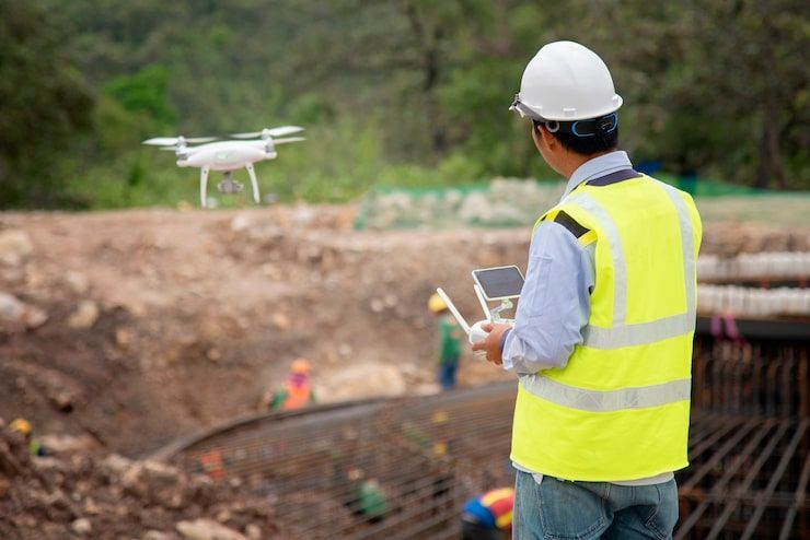
5. Improved Safety & Compliance
Aerial data supports:
- Perimeter checks
- Hazard identification
- Traffic flow planning
- OSHA documentation
Drones reduce the need for workers to access dangerous areas.
🧩 Where Drone Technology Is Heading
AI‑Driven Analysis
Automated detection of:
- Stockpile changes
- Safety hazards
- Structural progress
- Material movement
Digital Twins for Entire Sites
Real‑time, navigable models that integrate:
- LiDAR
- Photogrammetry
- BIM
- IoT sensors
Fully Automated Flight Paths
Dock‑based drone systems enabling:
- Daily scans
- Automated reporting
- Real‑time alerts
🧱 Why ARO Aerial Leads the Future of Construction Data
Technical Expertise
LiDAR, photogrammetry, RTK/PPK, BIM alignment.
Construction‑Ready Deliverables
Formatted for GCs, civil engineers, surveyors, and industrial teams.
Premium, Consultative Support
We help you interpret the data — not just receive it.