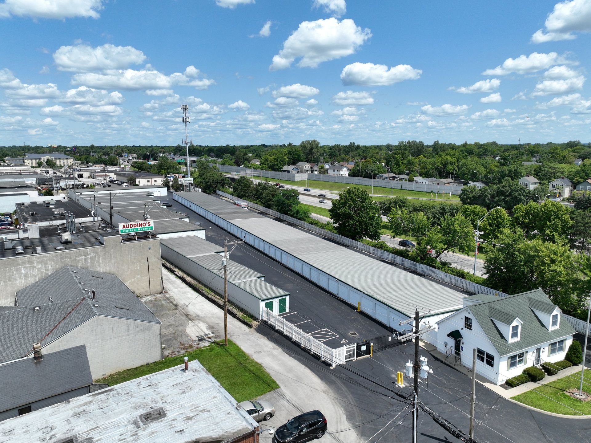
Drone progress monitoring is only useful if every visit can be compared with the last one. That means the same flight plan, the same angles and the same data, every time, on a schedule your team can count on.
I fly progress programs for general contractors and owners across Central Ohio, most of them every two weeks. Here's what a visit looks like and what your team gets from it.
Before the first flight
We set the program up once, so every later visit is routine:
- Kickoff call. Who uses the data (PM, superintendent, VDC, owner's rep), and what they need from it.
- Site walk or scout flight. Launch areas, crane swing, power lines, airspace and crew areas.
- Saved flight plans. The mapping grid, the oblique photo stations and the video path are built once and reused every visit.
- Checkpoints. We set targets and record them with our own GNSS receivers, so each visit's map lines up with the last.
What happens on each visit
- Check in at the trailer and attend the site safety brief
- Fly the saved mapping grid for a new orthomosaic and surface model
- Fly the same photo stations, so each angle matches the last visit
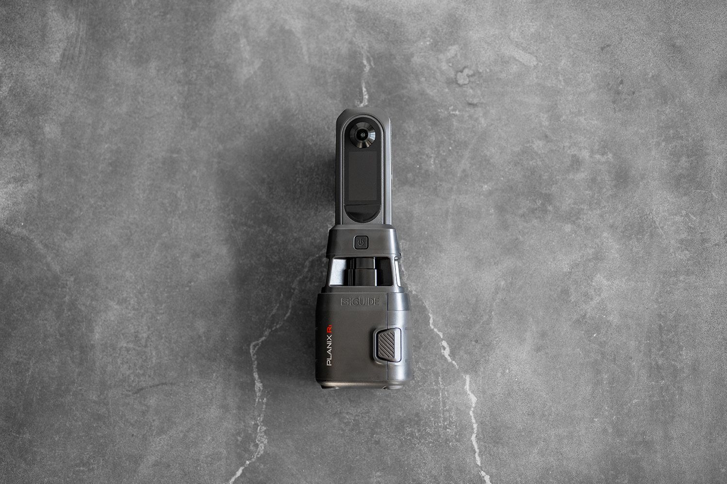
- Capture a short flyover video and, when requested, 360° panoramas
- Ground walk with a 360° camera where the team wants interior or close-up records
Every visit's files arrive within 48 hours, guaranteed: if they're late, that visit is free.
What your team receives
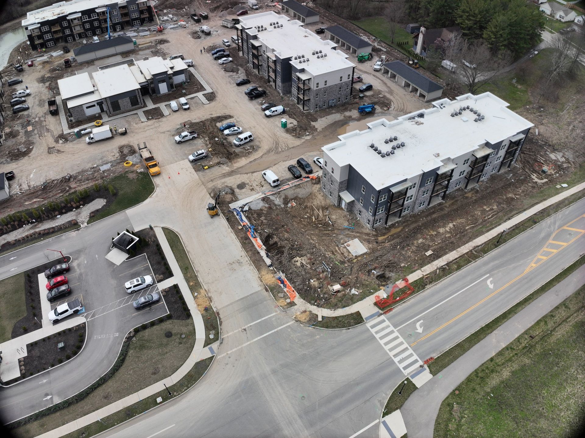
- Orthomosaic: Measure, mark up and compare against plans. Turnaround: 48 hours.
- Matched oblique photos: Owner reports, OAC meetings, side-by-side progress. Turnaround: 48 hours.
- Flyover video: Stakeholder updates, marketing. Turnaround: 48 hours.
- 360° panoramas: Look around the site from above without a visit. Turnaround: 48 hours.
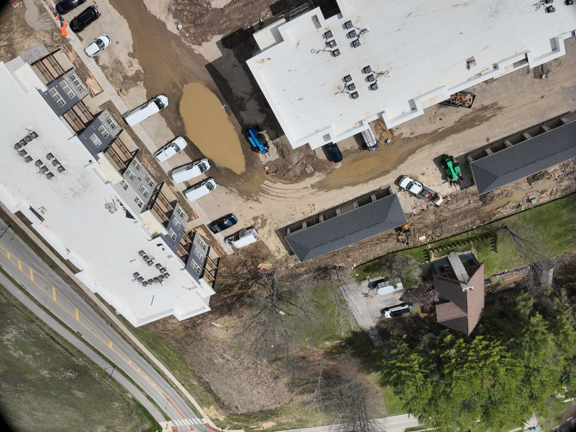
- Surface model and cut/fill check: Earthwork progress against the grading plan. Turnaround: 48 hours.
Data is delivered through DroneDeploy, which connects to Procore, so it lands where your team already works.
Adding LiDAR and 3D models
Photogrammetry covers most progress programs. On sitework-heavy phases, wooded sites or jobs where earthwork quantities are disputed, we add a drone LiDAR flight for centimeter-level surface data:
- Cut/fill tracking against the grading plan, visit to visit
- Grading verification before paving or pad handoff
- As-built comparisons of finished surfaces against design
- Bare-earth terrain under vegetation that photos can't see through
A 3D model of the site helps owners see progress without a visit, helps subcontractors coordinate staging and access, and gives civil engineers a surface to check against design. See our drone LiDAR services.
Why consistency beats coverage
A beautiful one-off flight is a photo. A repeatable program is a record. When the angles and flight lines match, you can put two visits side by side and see what changed. That record settles pay applications, delay claims and owner questions faster than anyone's memory can.
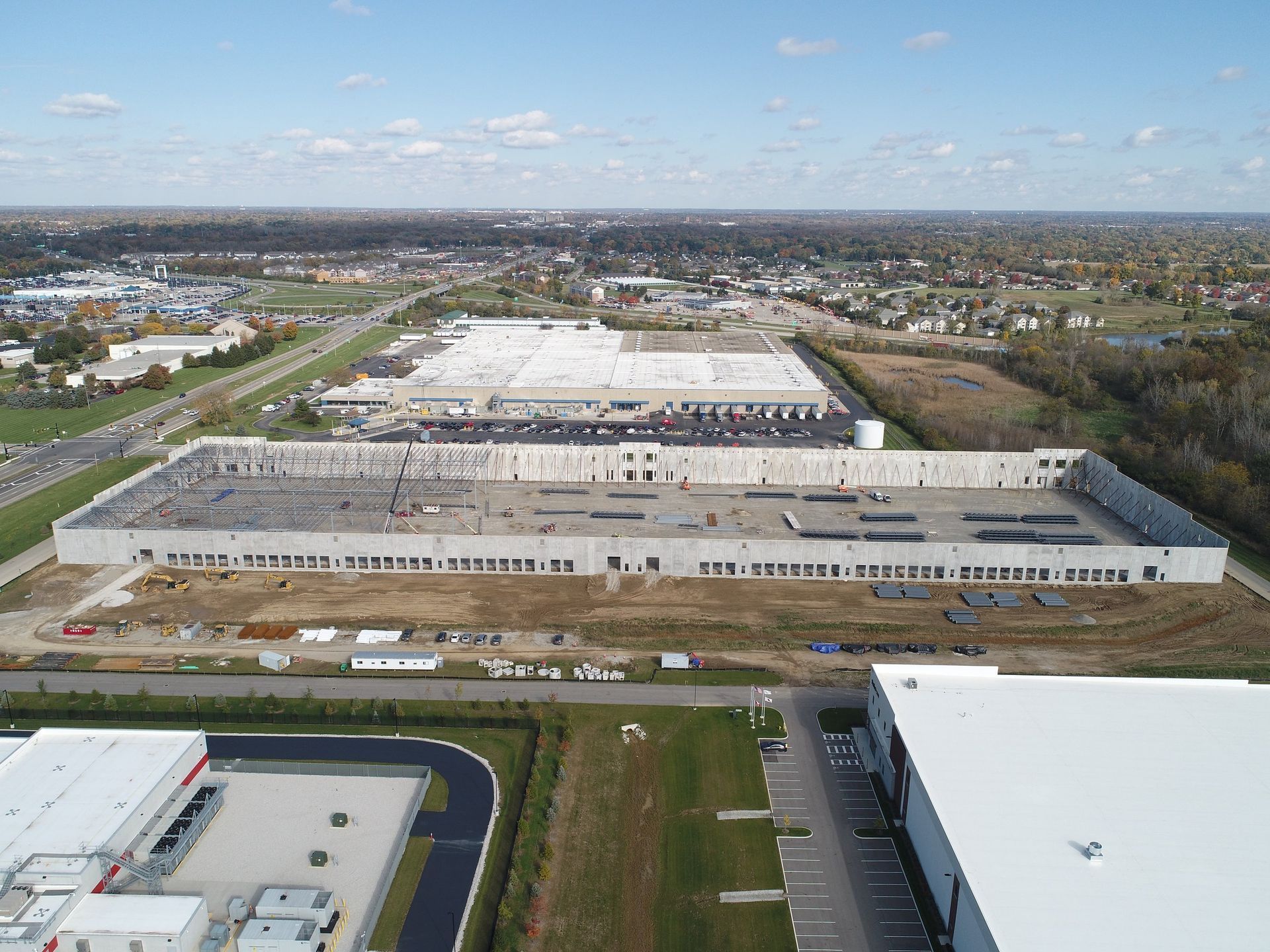
On one office and warehouse build, we flew from an overgrown lot in November 2024 to paved drive aisles in September 2025. Five orthomosaics, cropped to the same frame, show the whole job at a glance.
What the record settles
Dated, matched aerial data is defensible documentation. Teams use it for:
- Pay applications: show percent complete with a map, not a description
- RFIs and change orders: show site conditions on a given date
- Delay claims: a visit-by-visit timeline of what was built and when
- Subcontractor accountability: verify staging, scope and work in place
How often to fly
- Weekly: fast-moving sites, tight owner reporting, sitework-heavy phases
- Every two weeks: most commercial builds; the default we recommend
- Monthly: long projects in slower phases, or owners who need a monthly report
- Milestones: footings, steel topped out, dried-in, substantial completion
Planning a build in Central Ohio? See progress monitoring programs