Processing and delivery
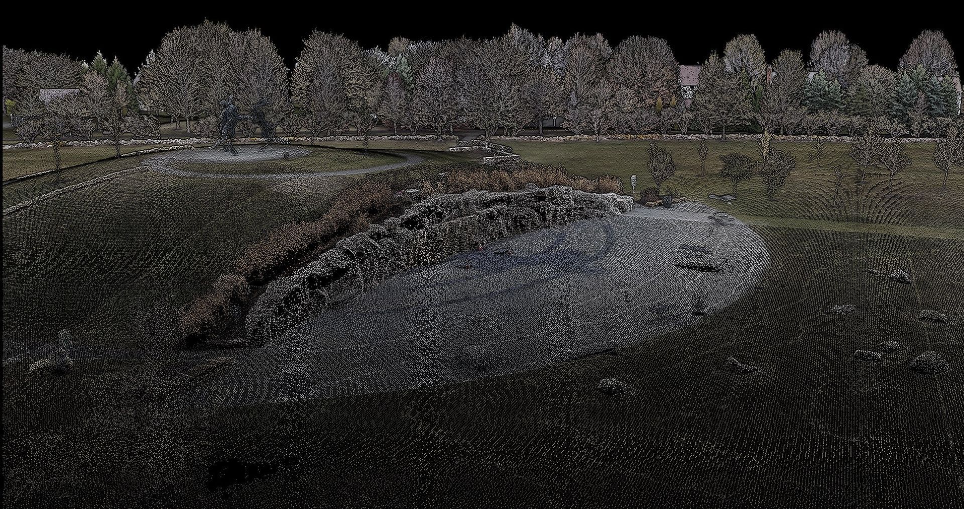
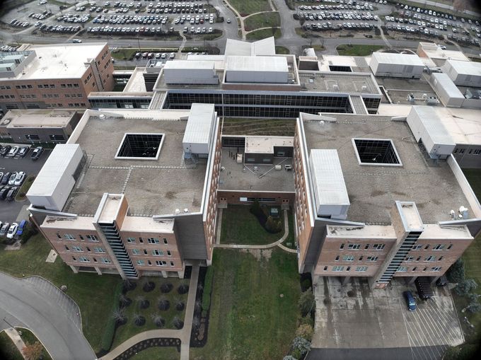
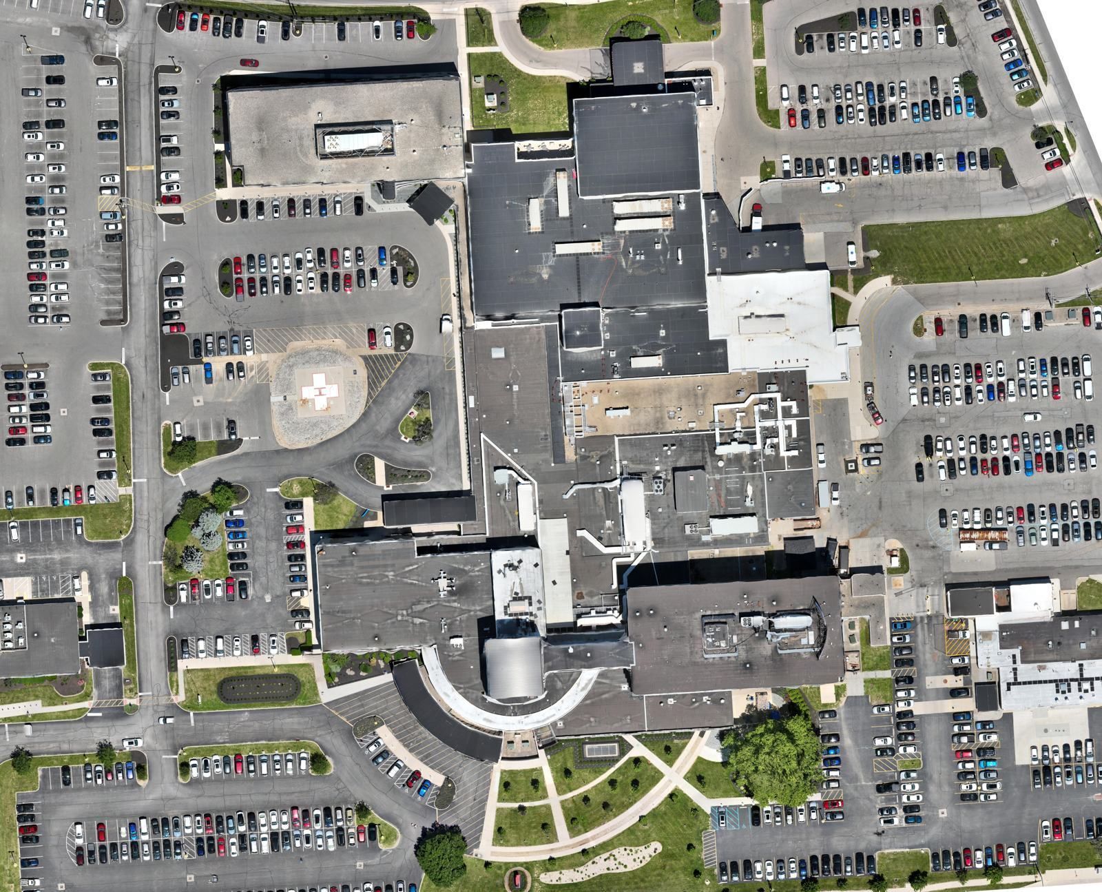
Processed in-house in DJI Terra (LiDAR and mapping), PIX4Dmatic (large photogrammetry projects) and PIX4Dfields (multispectral maps). Point clouds are classified in DJI Modify and finished in Civil 3D when a job calls for CAD files. BIM models are scoped per project. Delivered as GeoTIFF, LAS/LAZ, E57, RCP, LandXML, DXF, OBJ, PDF or JPEG.
Built for Procore teams.
DroneDeploy is now part of Procore, so maps and imagery we deliver through DroneDeploy fit straight into your Procore workflows.
How we work within Ohio surveying law
Ohio law (Revised Code Chapter 4733 and Administrative Code 4733-31-01) defines surveying to include determining land areas, establishing property boundaries, platting land and measuring land surface contours. That work requires an Ohio-licensed Professional Surveyor. ARO Aerial is not a surveying firm.
What we do on our own:
RTK capture, plus our own targets and checkpoints for internal accuracy checks on progress mapping, condition records, volume tracking and visual site maps, labeled as not a survey.
What goes through your surveyor:
boundaries, plats, legal descriptions, monuments, and topography used for design or recording. Their Professional Surveyor sets the control and seals the work; we capture and process the aerial data under their direction, including white-label delivery under their name.