Adrian O'Dell • November 17, 2026
How Drone LiDAR Fits Your Survey Crew's Workflow
FAA Part 107
MBE Certified
EDGE Certified
OSHA 10 Trained
L1 Thermographer
Drone LiDAR works best as a second instrument on your survey crew, not a replacement for it. Your licensed surveyor sets the control and checkpoints and seals the work. ARO Aerial flies the site with RTK corrections, ties the point cloud to your control, checks it against your checkpoints, and hands back clean data ready for your CAD and survey software. See our drone LiDAR services for scope and pricing.
The result: your crew spends field days on the control, boundary and detail work that needs a surveyor, and the drone covers the acreage, the vegetation and the places that are slow or unsafe to walk. We work with engineering and survey firms across Central Ohio, and we can deliver under your firm's name.
Who does what
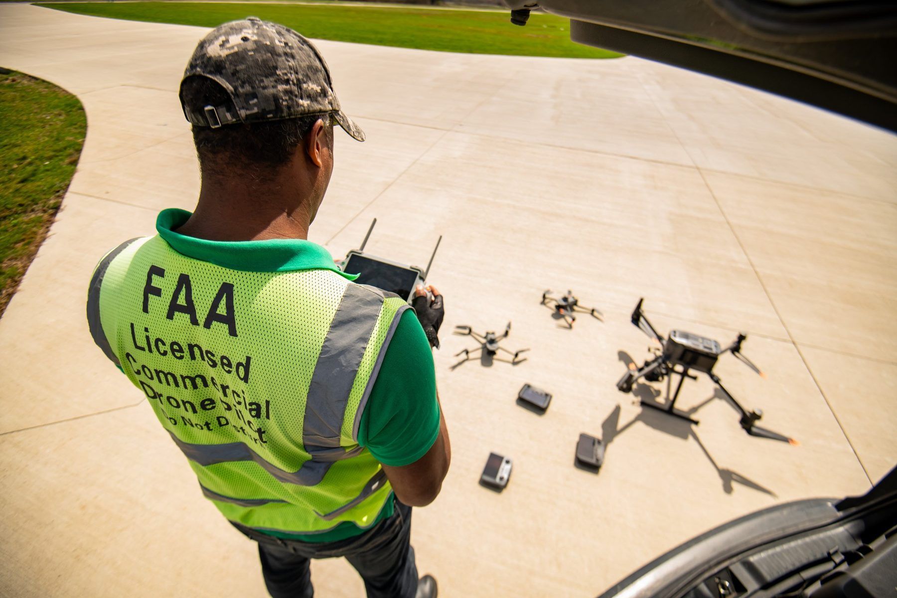
The surveyor keeps every task that needs a license; ARO handles the flight and the data.
- Project control and datum: your crew sets and owns it. We use it as provided.
- Ground control and checkpoints: your crew sets them, shoots them and keeps the checkpoint values. We fly over them and tie the data to the control.
- Flight planning and airspace (FAA Part 107): we plan, get any airspace authorization and fly. You review limits and site constraints.
- LiDAR capture on RTK corrections: ours.
- Point cloud processing and classification: we process and classify; you review.
- Accuracy check: we report the difference at each checkpoint; your surveyor accepts or rejects.
- Boundary, easements, legal descriptions, final drawings and seal: yours alone. We are not involved.
How a project runs
A typical drone LiDAR job runs in six steps, and the survey crew decides at both ends.
- Scope together. You send the site boundary, the coordinate system and datum, the deliverables you need and the accuracy you expect. We confirm the airspace, flight time and turnaround.
- Your crew sets control and checkpoints. Targets go where both the drone and your instruments can see them. You keep the checkpoint coordinates; we only need the control.
- We fly. LiDAR capture on RTK corrections, with flight lines and overlap planned for the terrain and vegetation. Imagery is captured on the same flight when you need an orthomosaic.
- We process and tie in. The point cloud is aligned to your control, cleaned and classified (ground, vegetation, buildings, noise).
- We check against your checkpoints. You get a short accuracy report listing the difference at each checkpoint, so your surveyor can accept the data on evidence, not on trust.
- We deliver in your formats. Files go to your team ready for Civil 3D or your survey software, under your firm's name if you prefer.
What you get
Every LiDAR job ships with the point cloud, a ground surface and an accuracy report; the rest depends on the scope.
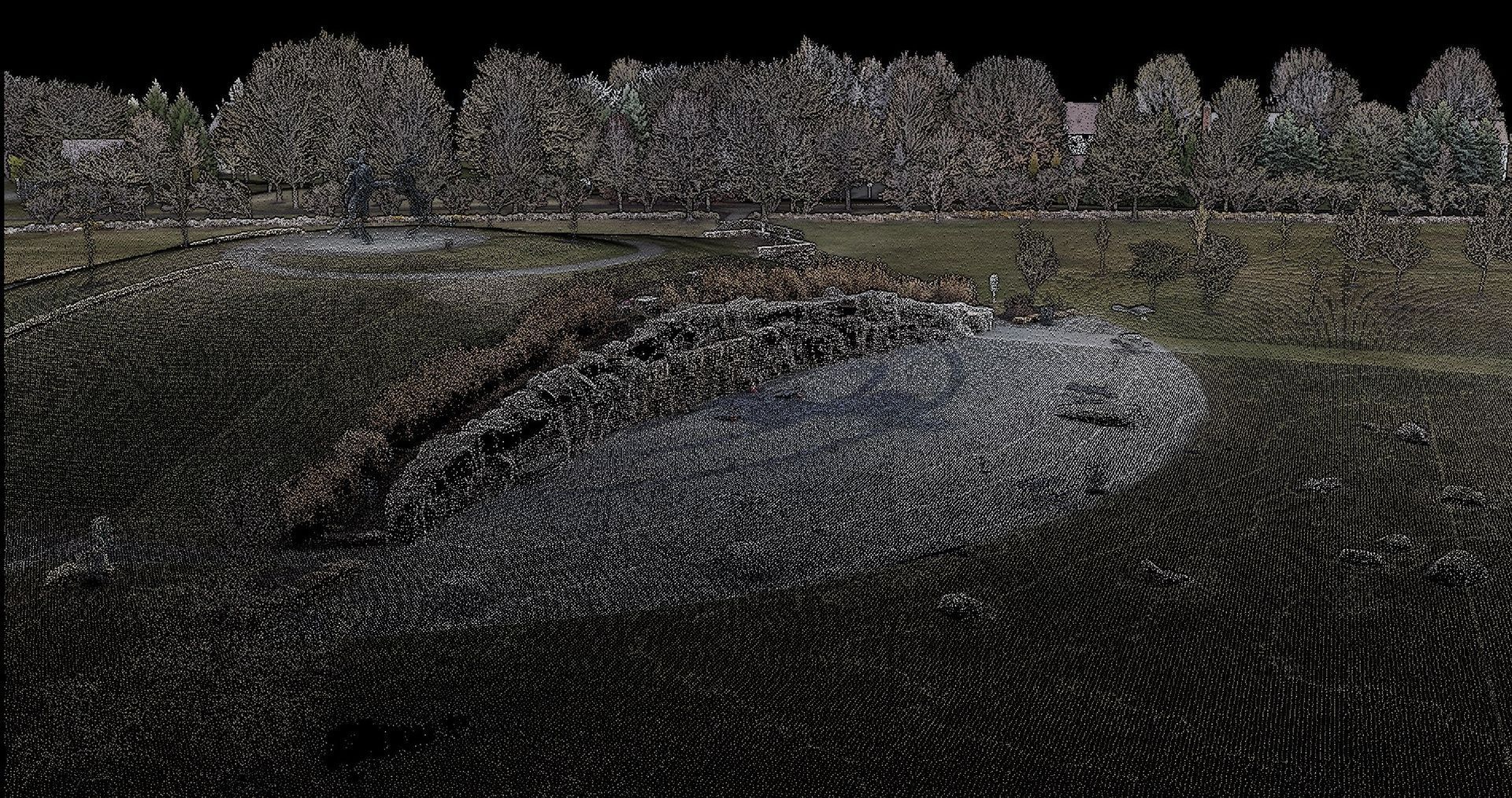
- Classified point cloud (LAS 1.4 / LAZ, ASPRS classes) for surface modeling, design checks and your archive. Point spacing on a standard topo job is about 15 mm.
- Bare-earth surface (Civil 3D surface, LandXML or GeoTIFF) for grading design, drainage and volumes.
- Contours (DWG/DXF), typically 1-ft intermediate and 5-ft index, for site plans and design backgrounds.
- Orthomosaic (GeoTIFF) when imagery is flown, as a base map.
- Earthwork volumes for cut/fill, stockpiles and pay quantities, when the scope calls for them.
- Checkpoint accuracy report (PDF) as your surveyor's acceptance record.
All files come in the coordinate system and datum your surveyor sets. The final package typically lands about 8 business days after capture.
Which method fits which job
Most sites use more than one: the crew shoots the hard detail, and the drone fills in the surface between.
- Ground survey (total station, GNSS): control, boundary, utilities, curbs, inverts, building corners and anything that needs a seal. Slow across large, wooded or unsafe acreage.
- Drone LiDAR: ground under trees and brush, large or rolling sites, corridors and stream banks. Needs your control and checkpoints; not for legal boundary work.
- Drone photogrammetry (RTK): open, cleared sites, construction progress, orthomosaics and stockpiles. Cannot see ground through vegetation.
On a site that is mostly open or already cleared, RTK photogrammetry is usually enough and costs less. If there are woods, brush or a stream corridor, LiDAR is the better choice, because the laser reaches ground that cameras can't see. Our guide to LiDAR vs. photogrammetry goes deeper.
Equipment and credentials
- LiDAR: DJI Matrice 350 RTK with Zenmuse L2, plus DJI Matrice 400 with Zenmuse L3 for Premium LiDAR
- Mapping: DJI Zenmuse P1, Matrice 4E and Mavic 3 Enterprise for RTK photogrammetry
- Corrections: RTK on every mapping and LiDAR flight
- Pilot: FAA Part 107 certified since 2019; OSHA 10
- Business: State of Ohio MBE and EDGE certified, City of Columbus MBE certified, registered in SAM.gov, insured. See our credentials.
- Delivery: white-label available, with your firm's name on the deliverables. See how our survey and engineering partners work with us.
Frequently asked questions
Does drone LiDAR replace a land survey?
No. Drone LiDAR captures the surface; a licensed surveyor sets the control, verifies the data against checkpoints, handles boundary work and seals the deliverables. In Ohio, topography used for design or recording is surveying work under ORC Chapter 4733. We work as part of the survey team.
Who sets the ground control and checkpoints?
Your survey crew. We use your control to tie the point cloud in, and we check the data against checkpoints your crew keeps, so the accuracy check is independent.
How do you prove the data meets our accuracy needs?
Every delivery includes a checkpoint report showing the difference between the LiDAR surface and each of your checkpoints. Your surveyor decides whether it passes.
What files do you deliver?
A classified LAS/LAZ point cloud, a bare-earth surface, contours in DWG/DXF and an accuracy report. Orthomosaics and volume reports are added when the scope calls for them.
Can you deliver under our firm's name?
Yes. Many of our engineering and survey clients present our data as their own; we can leave ARO off the deliverables.
What area do you cover?
Columbus and Central Ohio, including Dublin, New Albany, Westerville, Delaware, Hilliard and Grove City. Larger Ohio projects by request.
Bring us in on your next site
Send the boundary, your coordinate system and the deliverables you need, and we'll come back with a flight plan, a turnaround and a fixed price. Request a LiDAR quote or call (614) 622-8786.
ARO Aerial is not a state-licensed land surveying or professional engineering firm. Its work supplements, but does not replace, licensed PE or PLS services.