Adrian O'Dell • January 5, 2027
Existing Conditions and Scan-to-BIM: What Your Design Team Needs Before Day One
FAA Part 107
MBE Certified
EDGE Certified
OSHA 10 Trained
L1 Thermographer
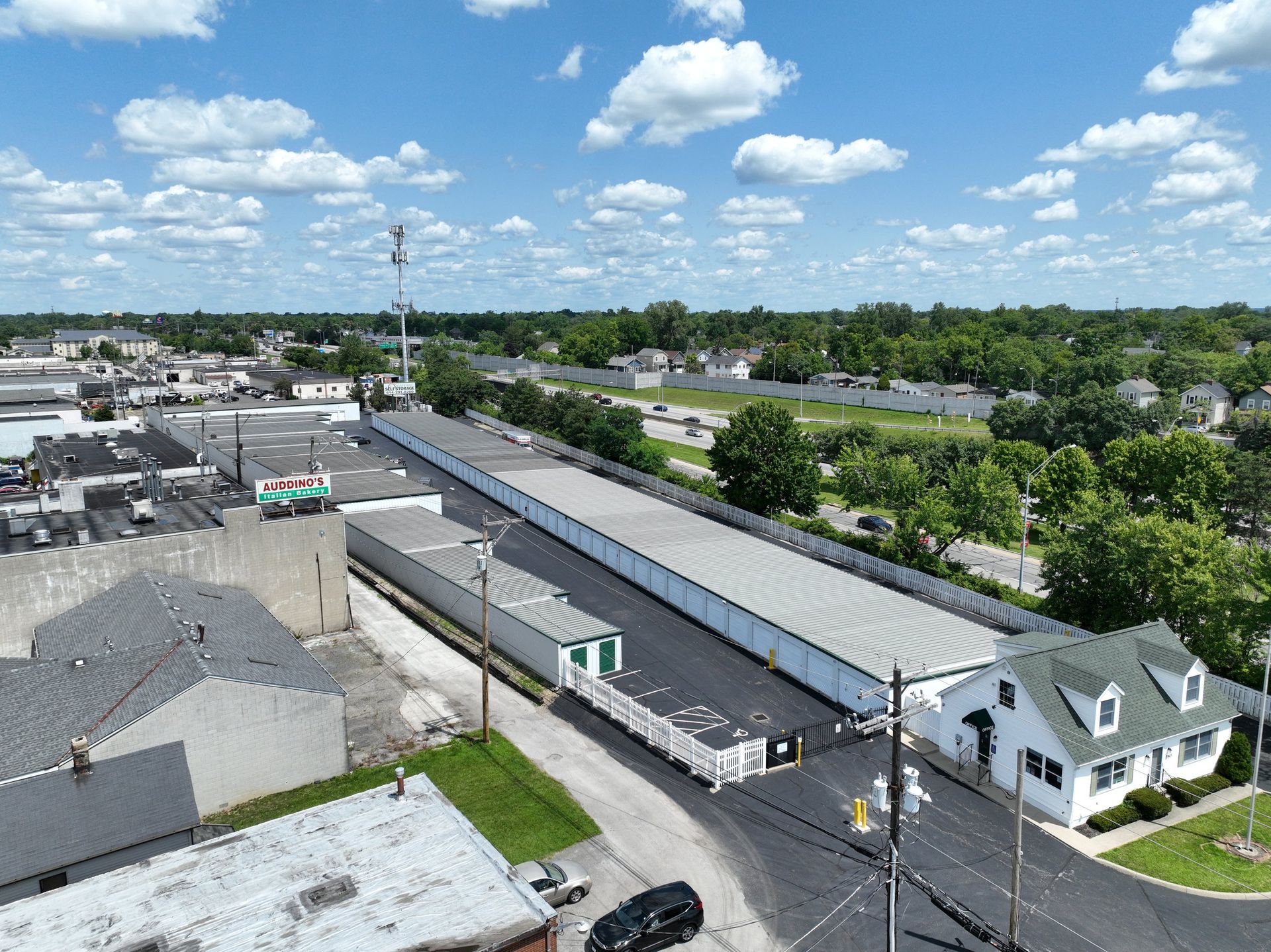
Existing conditions documentation gives your design team a measured record of what is actually there before anyone draws a line. On most renovation, adaptive reuse and site projects, that record comes from three sources: a survey for control and anything that needs a seal, drone LiDAR and photogrammetry for the site, roof and exterior, and a measured interior capture for the rooms. Our LiDAR and Scan-to-BIM service brings the aerial and interior pieces together for Central Ohio design teams.
Why drawings on file aren't enough
Original drawings rarely match the building. Additions, tenant fit-outs, roof replacements and mechanical changes pile up over decades, and very few of them make it back into a drawing set. Designing from old plans is how a project ends up with a duct that won't fit, a column in the wrong place or a site plan that misses a grade change. A day of capture at the start costs far less than a change order in the middle.
Existing conditions vs. as-built: what's the difference?
- Existing conditions is captured before design starts. It shows the building and site as they are today, so the design team has a reliable starting point.
- As-built documentation is captured during or after construction. It records what was actually built, for closeout, the owner's records and the next project on the property.
The capture methods are the same. What changes is timing and what the record is used for.
Who captures what
- Your licensed surveyor sets project control and handles boundary, topography for design, utilities and anything that will be sealed.
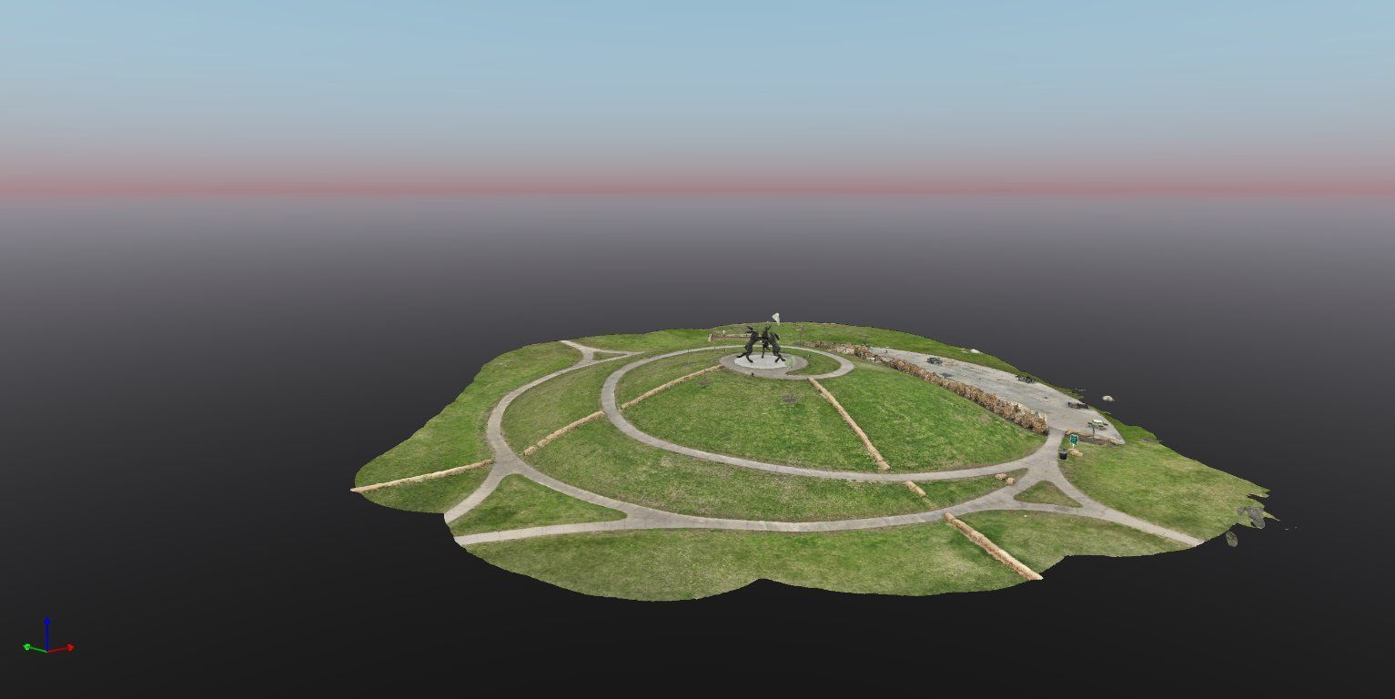
- Drone LiDAR and photogrammetry cover the site, roof, facades and grades, including ground under trees, tied to your surveyor's control. Deliverables include classified point clouds (LAS, LAZ, E57, RCP), surfaces and contours.
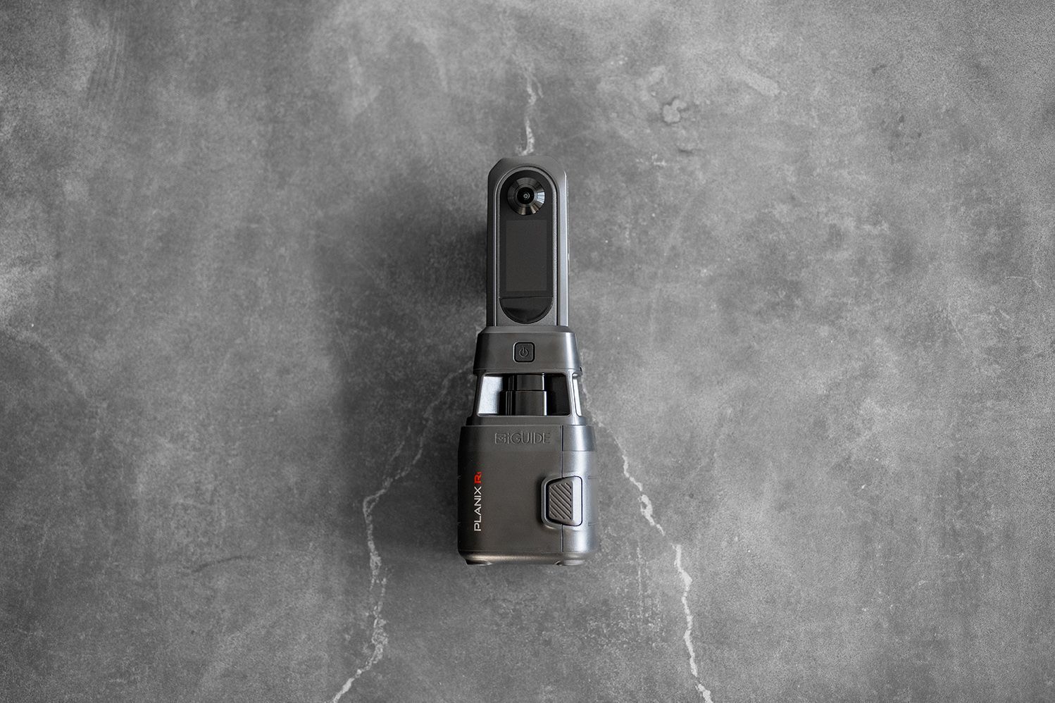
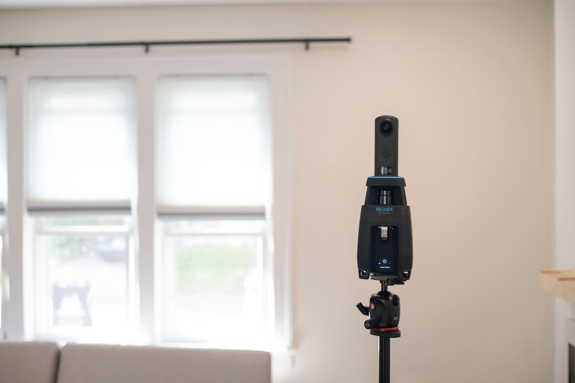
- Measured interior tours from an iGUIDE camera that pairs 360° photos with LiDAR give you a walkable tour, measured floor plans and point-to-point dimensions, typically within about 10 mm from camera to wall.
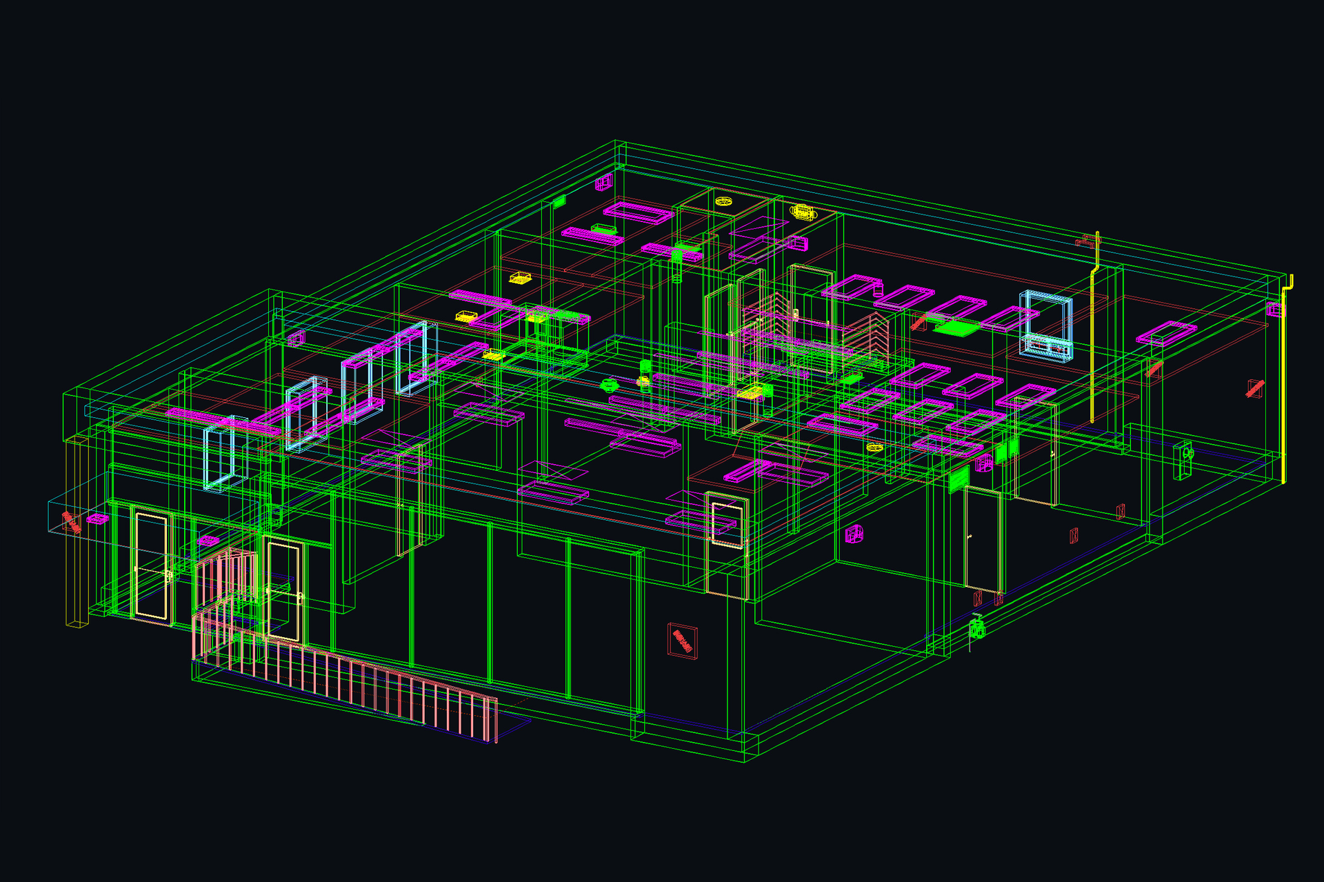
- Revit or CAD modeling turns the captured data into the model your team works in. We deliver this with a modeling partner and coordinate it as one package.
What a design team typically receives
- A classified point cloud of the site and building exterior, aligned to the project datum.
- A bare-earth surface and contours for site design and drainage.
- An orthomosaic of the site and roof as a base map.
- A measured interior tour your whole team can open in a browser, with floor plans showing room dimensions and areas.
- CAD floor plans, elevations and reflected ceiling plans, or a Revit model, at the level of detail the project needs.
Choosing the right level of detail
Not every project needs every element modeled. Before capture, agree on three things with your team:
- What the model is for. A schematic design study, an MEP retrofit and a facade replacement each need different detail.
- What tolerance matters. Space planning works fine with a measured tour. Steel connections, tight MEP routing or fabrication need a ground-based laser scan by others, and we'll say so at scoping.
- What format the team works in. Revit, Civil 3D, AutoCAD or Navisworks, and which coordinate system.
Timing it right
- Before schematic design for renovation, adaptive reuse and tenant work.
- Leaf-off season (late fall to early spring) for wooded sites, when more of the ground is visible to LiDAR and cameras.
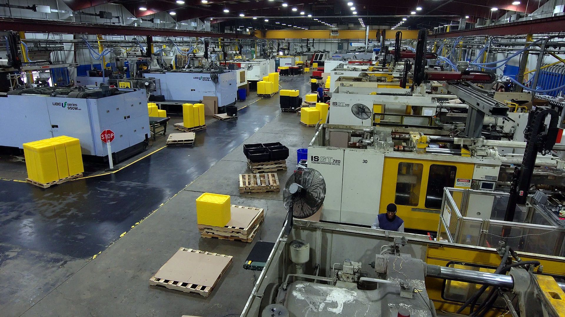
- Before walls and ceilings close on new construction, so the as-built record shows what's behind them.
- At substantial completion for the owner's closeout package.
Frequently asked questions
Is drone existing conditions data a survey?
No. It supplements your licensed surveyor's work. Control, boundary and anything sealed stay with your surveyor; we tie our data to their control.
Do you do terrestrial laser scanning?
No. We capture the site and exterior by drone and interiors with a LiDAR-equipped iGUIDE camera. When a project needs millimeter-level interior detail, we'll recommend a ground scanning partner and coordinate the datasets.
Can you deliver a Revit model?
Yes, through our modeling partner, at the level of detail you specify. Massing-level models and CAD floor plans are also available from the interior capture alone.
How soon can you capture?
Usually within a couple of weeks of scoping, weather permitting for the aerial work. Interior capture needs spaces that are lit, safe to walk and above 41°F.
How is it priced?
Each project is quoted by scope: site area, building floor area, interior coverage and the modeling detail you need.
Starting a renovation or site design?
Send the address, the scope and what your team needs at the end, and we'll come back with a capture plan and a fixed price. Request a quote or call (614) 622-8786.
ARO Aerial is not a state-licensed land surveying or professional engineering firm. Its work supplements, but does not replace, licensed PE or PLS services.