Adrian O'Dell • December 15, 2026
What a Drone Property Condition Assessment Shows an Owner
FAA Part 107
MBE Certified
EDGE Certified
OSHA 10 Trained
L1 Thermographer
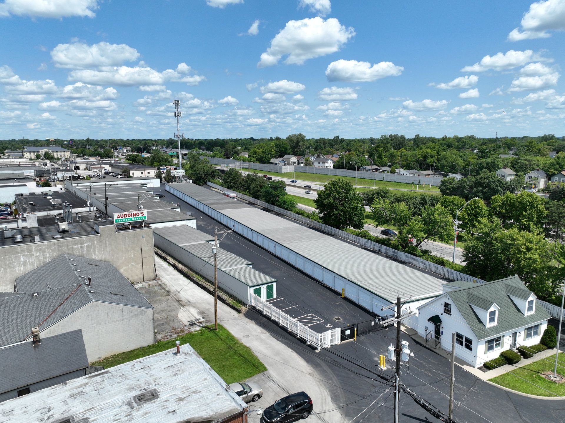
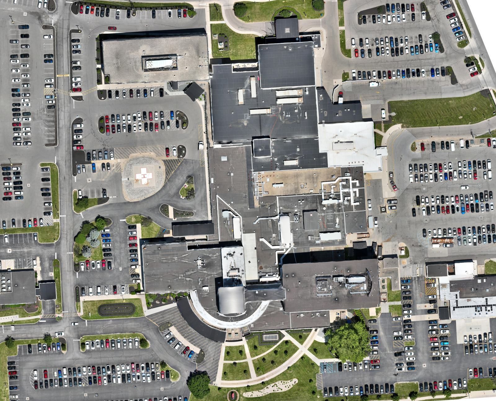
A drone property condition assessment gives an owner a scored, mapped picture of every exterior surface on a property: pavement, roofs and landscape, with facades coming soon. ARO Aerial captures the site, and our partner SITE Technologies scores the condition with AI and civil-engineer review. You get objective condition scores, prioritized findings and a path to repair. Learn more on our Aerial Intelligence page.
Why owners use them
- Capital planning. Condition scores across every surface show what needs money this year and what can wait.
- Portfolio consistency. The same capture and scoring method at every property makes buildings comparable.
- Due diligence. Condition data before you close on an acquisition.
- Fewer site visits. One flight covers what would take several walk-throughs, without ladders or lifts.
What gets assessed
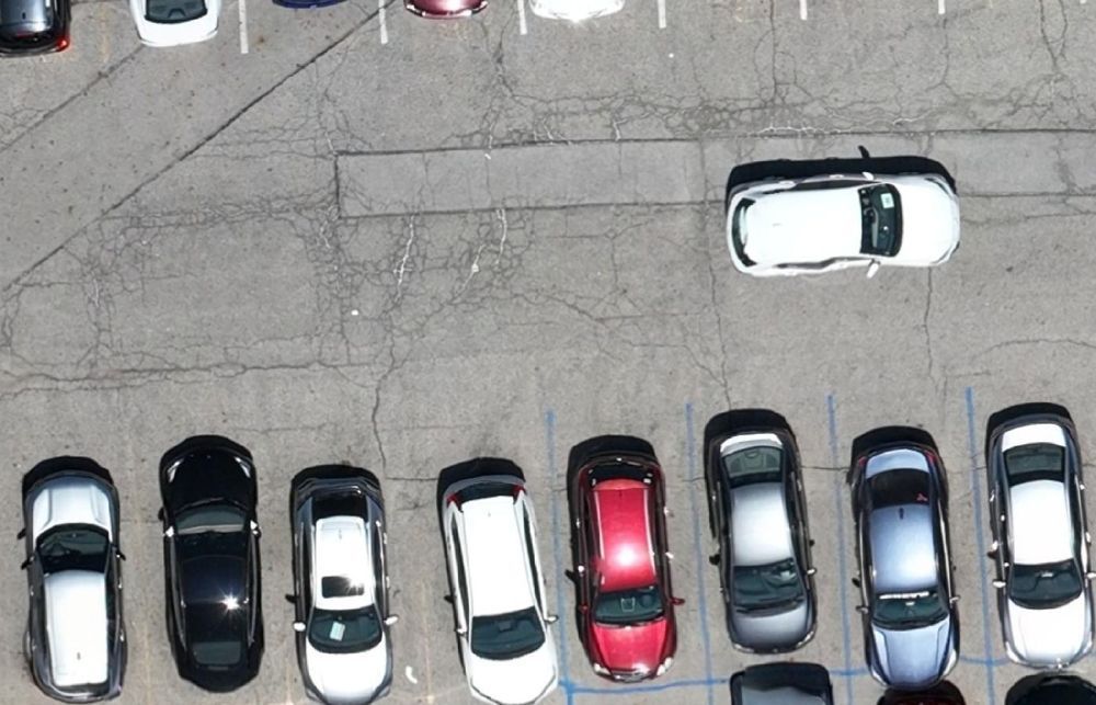
- Pavement (PCI): standardized scoring of parking lots, drive lanes and paved areas.
- Roofs (RCI): roof condition from straight-down and angled aerial capture.
- Landscape (LCI): grounds evaluation and inventory across the site.
- Facades (FCI, coming soon): building envelope condition from angled capture.
- Asset inventory: cataloging of exterior site infrastructure.
Thermal moisture detection for roofs can be added; on its own, it is covered by our roof moisture survey.
How it works
- Choose the scope. One roof, one campus or a portfolio-wide baseline.
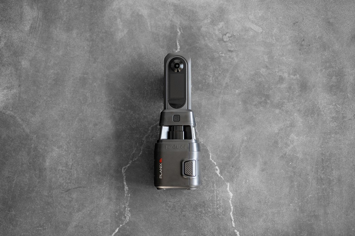
- ARO Aerial captures the site. High-resolution mapping plus straight-down and angled passes of roofs and facades, flown by an FAA Part 107 certified pilot.
- SITE Technologies scores it. AI scores conditions and flags defects, and civil engineers validate the findings.
- We walk you through it. We meet with you to explain the scores, separate urgent items from long-term ones and talk through budget and timing.
- Repair, if needed. We can connect you with vetted roofing, paving, concrete, drainage, landscape and facade contractors.
Single site or a whole portfolio
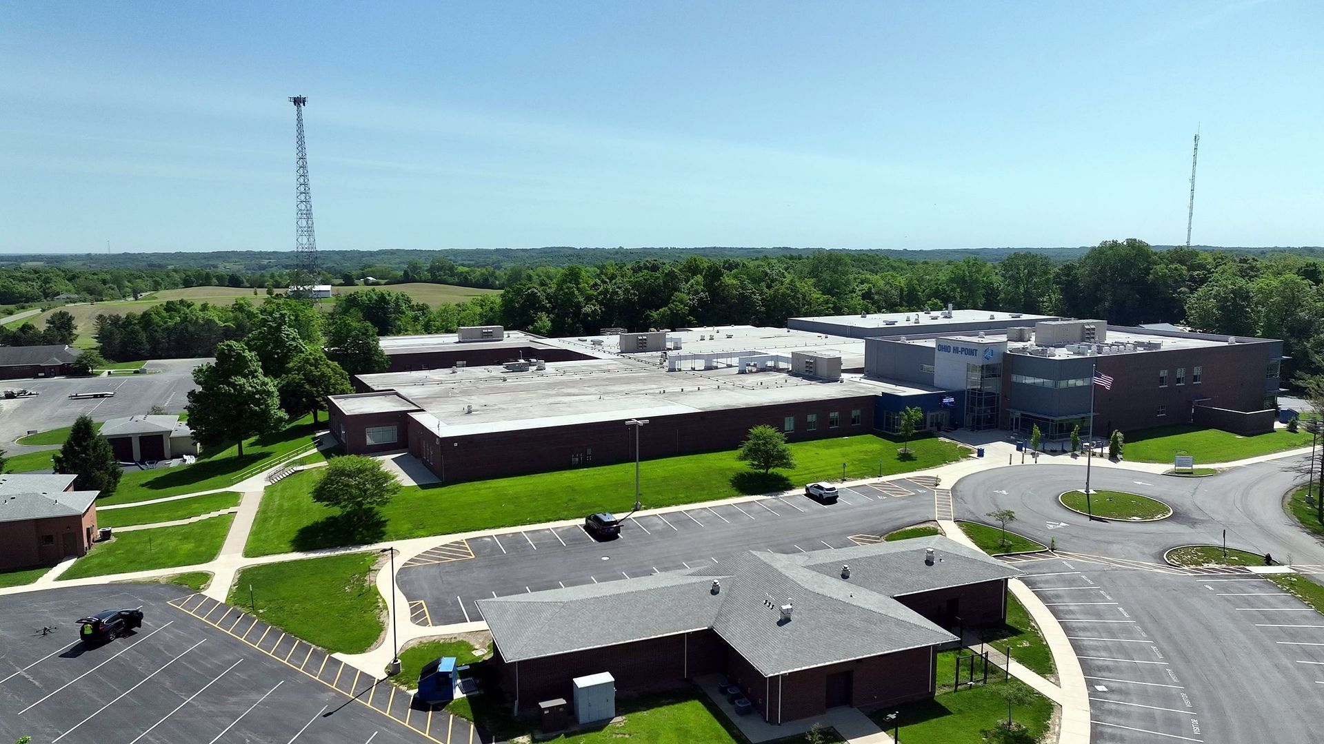
For a single building, an assessment answers a focused question: is the roof or the parking lot the bigger problem this year? For a portfolio, its value is consistency. The same capture method, the same scoring and the same report format at every property let a facilities team rank needs across sites instead of relying on whoever inspected each one last. One scope and one point of contact covers the whole program, and the first round becomes the baseline every later assessment is measured against.
What it isn't
A drone condition assessment is a screening and planning tool. It doesn't replace a structural evaluation, a land survey or an engineer's design for repairs, and findings on specific defects should be verified in the field before work is priced.
What you get back
- Condition scores for each surface type, on a standardized scale you can compare across properties and over time.
- Mapped findings, located on an aerial map of the site, so a contractor can find each one.
- Prioritized needs, separating urgent issues from routine maintenance and long-term replacement.
- Engineer-created repair scopes and budget guidance when you order them, so findings turn into a plan you can fund.
Using it in a capital plan
Condition data is most useful when it drives the budget, not just the file. A practical approach:
- Baseline every property with the same scope, so scores are comparable.
- Fund the urgent items first, especially anything letting water into a building or creating a trip hazard.
- Group work by trade and location to get better pricing from paving, roofing and facade contractors.
- Reassess on a cycle, often every one to three years, to track how fast conditions change and whether past repairs held up.
For institutions and public owners, a documented, repeatable method also makes it easier to explain budget requests to a board.
Frequently asked questions
Who is it for?
Property and facility managers, owners, developers and institutions with one site or many, especially those planning capital budgets.
Do we need roof access?
Usually not. The capture is done from the air; we coordinate site access and any airspace authorizations.
How is it priced?
By scope: the surfaces you choose and the size and number of properties. We quote each assessment after a short scoping call.
How does this relate to a roof moisture survey?
The roof condition score looks at the visible roof surface. A moisture survey measures wet insulation underneath. See Repair, Recover or Replace? What a Roof Moisture Map Tells You.
Planning next year's capital budget?
Tell us the property, the surfaces you care about and your timeline, and we'll scope an assessment. Request a quote or call (614) 622-8786.