Adrian O'Dell • December 1, 2026
What Does a Topographic Survey Cost in Ohio?
FAA Part 107
MBE Certified
EDGE Certified
OSHA 10 Trained
L1 Thermographer
There is no single price for a topographic survey in Ohio, because the cost follows the site: its size, its ground cover, the accuracy you need and the features that have to be picked up by hand. The survey itself is priced and sealed by a licensed Professional Surveyor. When drone data captures the ground surface, the aerial part of the job starts at $3,450 for engineering mapping tied to your surveyor's control and $4,500 for drone LiDAR topo, with your surveyor's control, checkpoints and seal priced by them.
Who does what on an Ohio topo
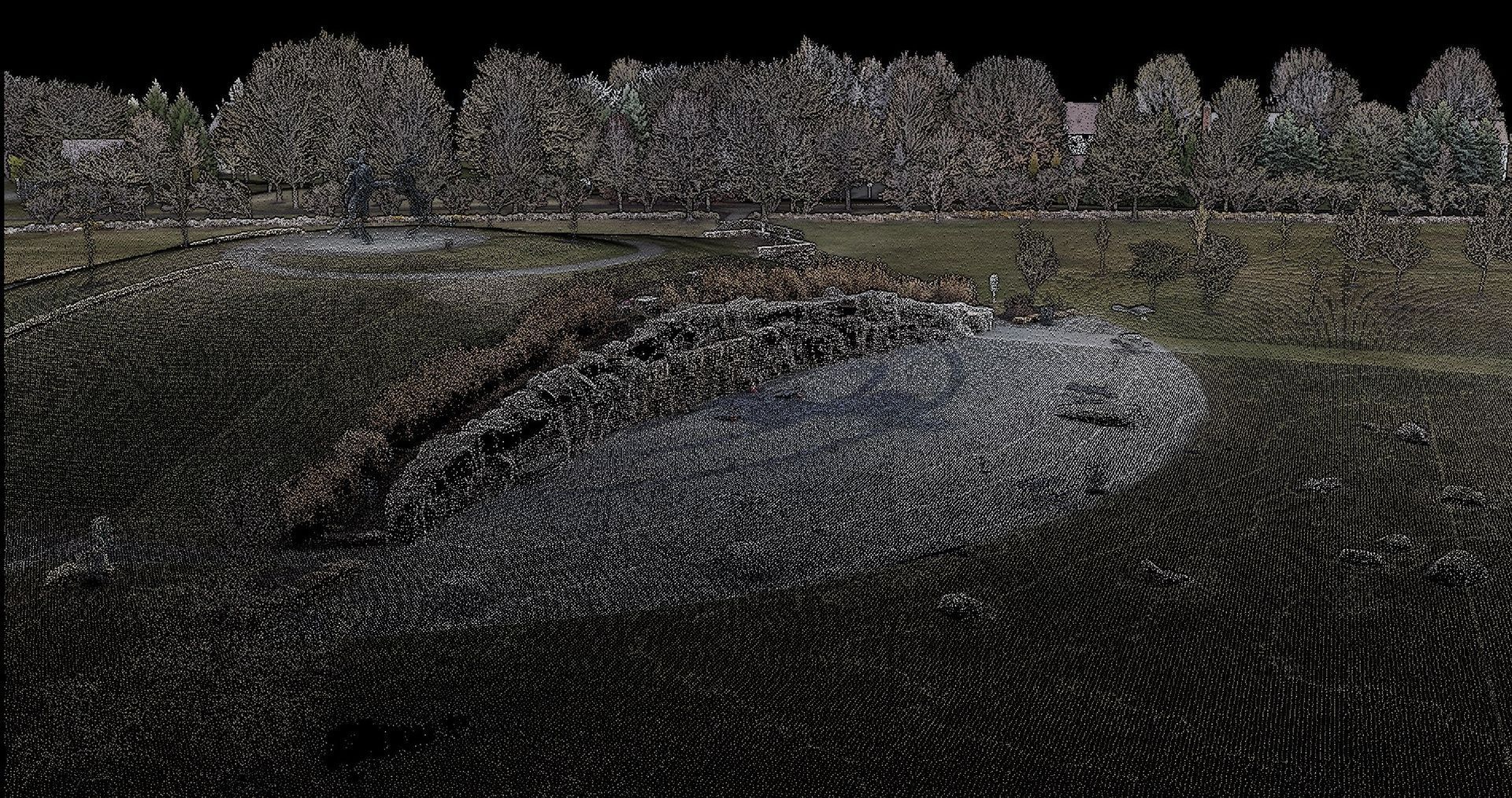
In Ohio, measuring land surface contours for design or recording is surveying under Ohio Revised Code Chapter 4733, so it needs a licensed Professional Surveyor. A drone company can capture and process the surface, but the surveyor sets the control, checks the data and seals the result. That split matters for cost: you are paying for field time from the survey crew, aerial capture and processing, and the surveyor's review and drafting. Here is how that works with your survey crew.
What drives the price
- Size and shape of the site. More ground means more field time, but a compact parcel is cheaper to cover than a long, narrow corridor of the same area.
- Ground cover. Open or cleared ground can be mapped with RTK photogrammetry. Woods, brush and stream corridors need LiDAR, because cameras can't see the ground under canopy. Walking that same ground with a rod is where field days pile up.
- Accuracy and contour interval. Tighter tolerances need more control, more checkpoints and denser data. Say what the design actually needs, not the tightest number available.
- Hard features. Curbs, inverts, utilities, building corners and anything under a bridge or canopy edge still get shot by the ground crew. The more of them, the more crew time.
- Control and checkpoints. Every job needs control the surveyor sets and checkpoints they keep. Existing project control saves a step.
- Deliverables. A surface and contours cost less than a full drafted base map with utilities and annotation. Formats (Civil 3D, LandXML, DWG) and coordinate system should be set up front.
- Schedule and access. Rush timelines, airspace near Columbus airports, site access and weather days all move the number. Travel is included within 50 miles of Columbus.
Three common scopes
Open or cleared site
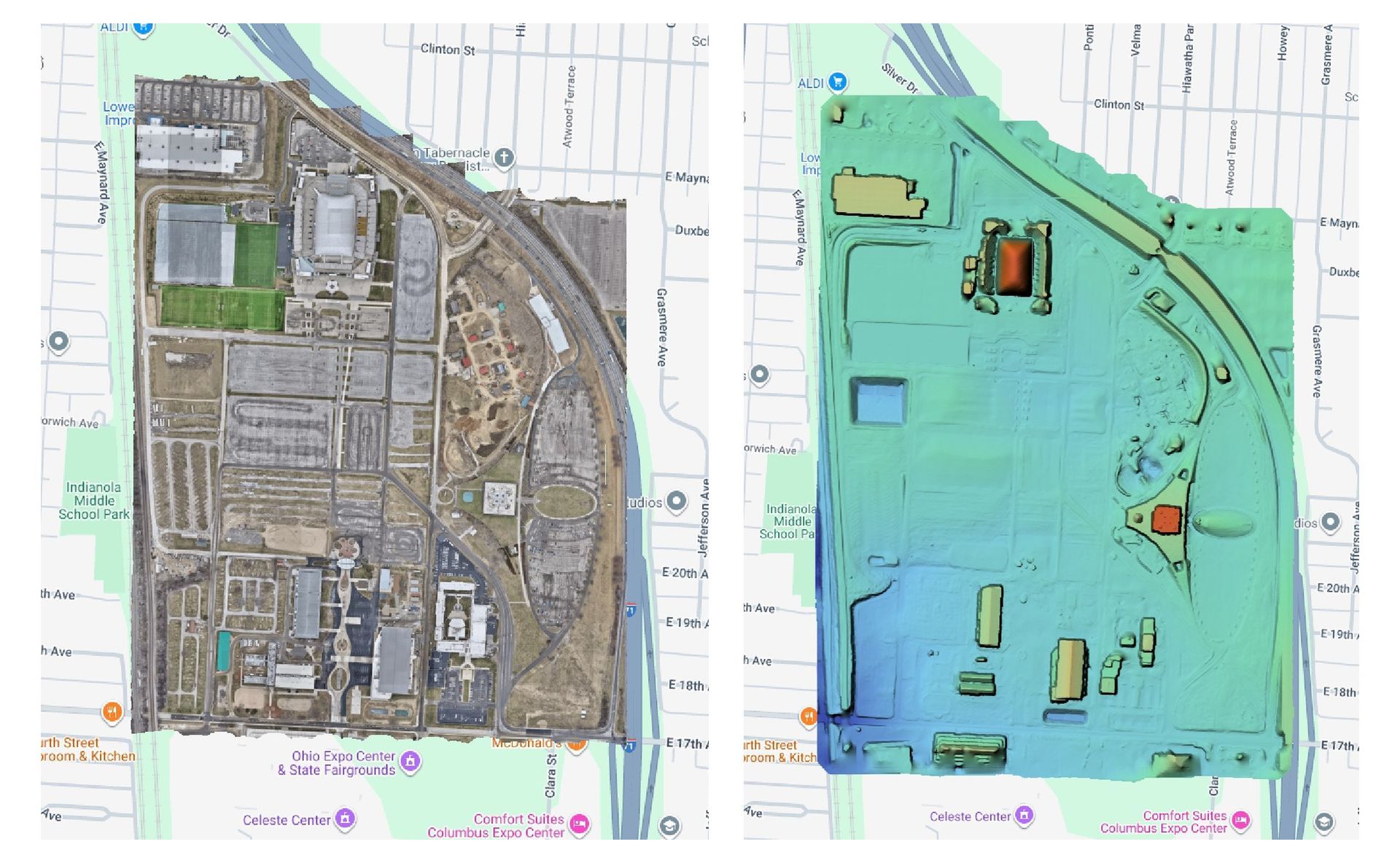
A graded pad, a farm field or a site that has already been cleared. RTK photogrammetry tied to your surveyor's control produces an orthomosaic, a surface and contours. This is the least expensive aerial option, from $3,450 for engineering mapping.
Wooded or rolling site
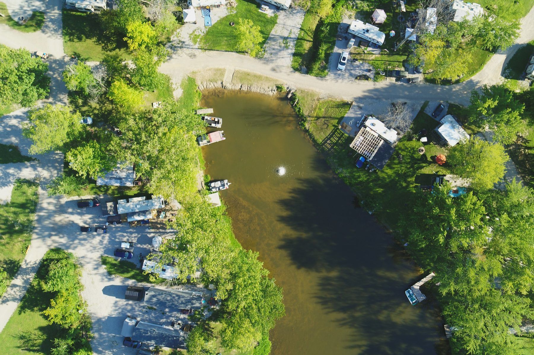
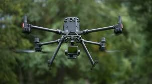
Trees, brush, ravines or a creek. Drone LiDAR reaches the ground between branches and gives a bare-earth surface where photogrammetry can't. Drone LiDAR topo starts at $4,500 and includes a classified point cloud, a bare-earth surface and 1-ft contours. Premium LiDAR on the Matrice 400 with Zenmuse L3 starts at $5,500.
Corridors and linear projects
Roads, trails, utility routes and stream corridors. Length, width and how many access points the crew needs drive the cost more than area. These are quoted per project after we see the alignment.
Where drone data saves money
The savings come from field time, not from skipping the surveyor. A drone covers the open acreage and the vegetation in a single mobilization, so the survey crew spends its days on control, boundary and hard features instead of walking every grade break. On wooded and rolling sites, that is often the difference between days and weeks in the field.
Timing helps too. Late fall through early spring is leaf-off season in Ohio, when more laser pulses and more camera views reach the ground. If your design schedule allows, flying a wooded site before spring leaf-out gives a cleaner surface.
How to get an accurate quote
A firm price takes five things:
- the site boundary (a KML, a PDF plat or an address with the limits marked);
- the coordinate system and datum your surveyor uses;
- the deliverables and formats, and the contour interval;
- the accuracy the design needs;
- the date you need it.
With those, we send a fixed written quote for the aerial portion, and your surveyor prices the control, checkpoints and seal. Our final LiDAR package typically lands about 8 business days after capture.
Frequently asked questions
Is a drone topo a survey?
Not by itself. The drone captures the surface; a licensed Professional Surveyor sets the control, checks the data against checkpoints and seals the topographic survey. ARO Aerial is not a surveying firm and works alongside yours.
Do you price drone mapping by the acre?
How long does it take?
Flying is usually a single day on site, weather permitting. The final LiDAR package typically follows about 8 business days after capture, then your surveyor reviews and finalizes.
Should I choose LiDAR or photogrammetry?
LiDAR when there is vegetation, a corridor or rough terrain; RTK photogrammetry when the site is open or cleared and you also want an orthomosaic. Our guide to LiDAR vs. photogrammetry walks through the choice.
Get a number for your site
Send the boundary and what your design team needs, and we'll come back with a flight plan, a turnaround and a fixed price. Request a quote or call (614) 622-8786.
ARO Aerial is not a state-licensed land surveying or professional engineering firm. Its work supplements, but does not replace, licensed PE or PLS services.